[ccfic]
- 240,000 sq kms of GB updated every 2 years
- 12.5cm GB wide coverage
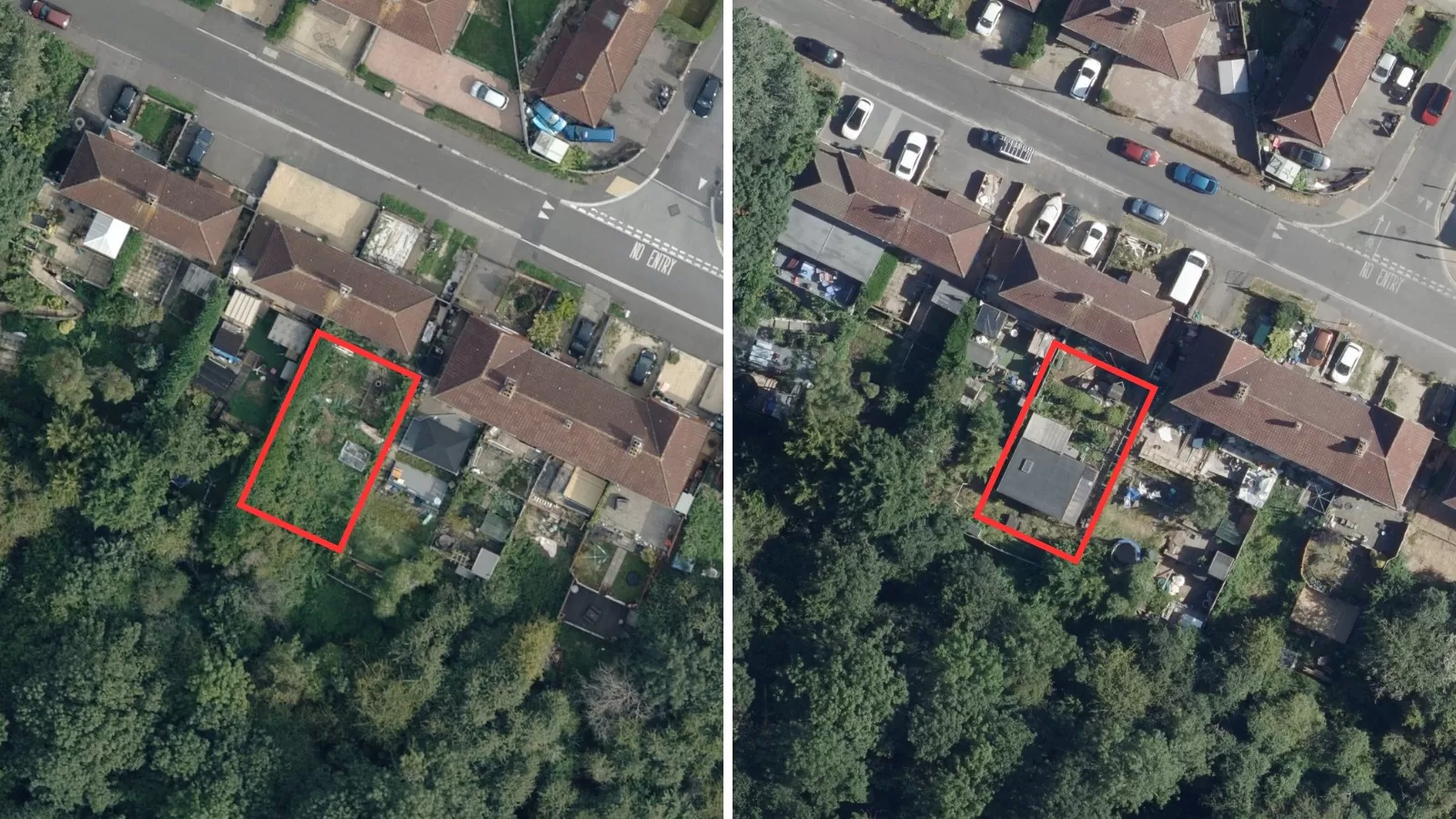
- 5cm resolution imagery of all urban areas
- DSM, DTM, NTM, NHM also updated on 2 year programme
Bluesky International's flying season has launched with the exciting announcement that it will increase UK capture frequency from a three-year update to a two-year update cycle.
Over the last 20 years, the Leicestershire-based company operated a five-year then three-year rolling flying programme to gather aerial survey imagery and height data.
The latest progressive move means it will be able to offer customers a level of currency not matched by any other UK supplier.
Rachel Tidmarsh, CEO, said: “The move is part of our long-term strategy to provide our customers with the most up to date and highest resolution imagery and height data for the whole of Great Britain.
"We have invested in additional aircraft, operators, technicians and technology to be able to achieve this ambitious schedule by the end of 2024."
This new flying programme will ensure every 240,000 square kilometres of Great Britain is updated every two years.
It will see the introduction of a 5cm resolution as standard capture for all urban areas, with the remainder captured at 12.5cms.
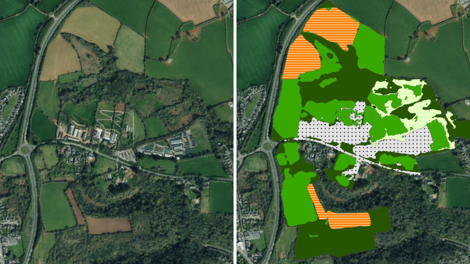
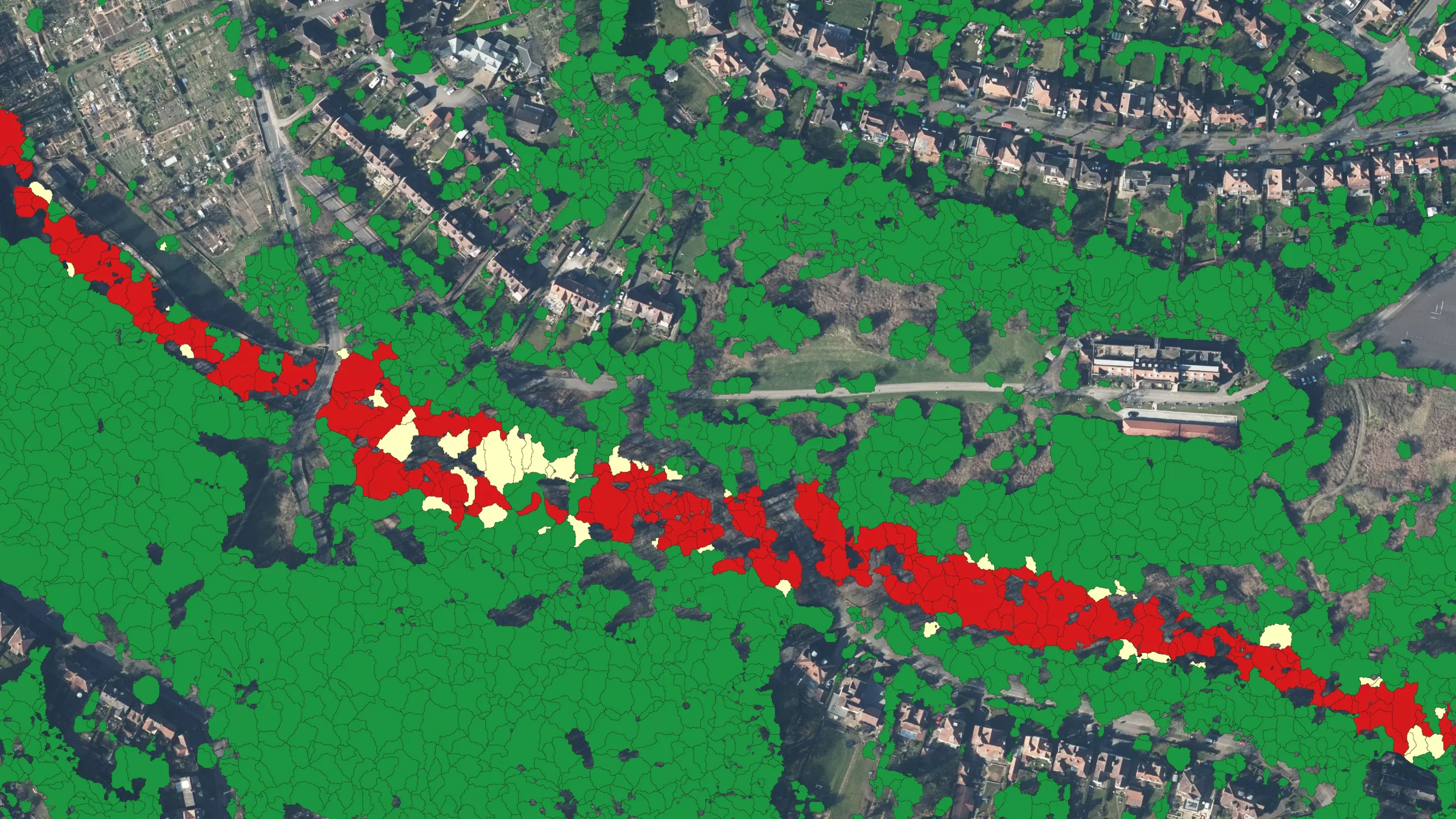
The decision also benefits updates to Bluesky’s other products, such as its DSM and DTM height products and the National Tree Map™ (NTM™) and National Hedgerow Map™ (NHM™) and makes them relevant for even more applications.
Rachel added: “We are all too aware of the pressures faced by our customers who need current data at their fingertips to accurately support the delivery of their projects.
“There is an expectation today of increased capture frequency and with growing concerns about tackling issues like climate change and achieving targets for carbon emission reduction, we need to ensure we are in position to meet their needs.
“We are positioning Bluesky as the only UK aerial survey company able to offer this ambitious level of currency which will see 240,000 sq kms captured every two years.”


