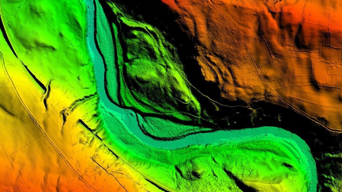
LiDAR Height Data
LiDAR has become the de facto data source for those in need of detailed and accurate terrain information. LiDAR sensors acquire the height of both the terrain and any above ground features such as trees and buildings, to an accuracy and resolution unparalleled by other airborne methods.
Bluesky have an extensive portfolio of LiDAR data available as part of our data catalogue, covering wide areas of the UK. If your area is not available off-the-shelf, our survey team are able to capture new LiDAR data, offering a flexible solution. So that no matter what your end application or area of interest, we’ll be in a unique position to meet your requirements.
Alongside our own data catalogue, we are official resellers of LiDAR from a number of other sources, allowing us to provide you with a single point of supply for all your LiDAR requirements.
Specification
-
Point cloud or gridded data
-
Existing coverage from 1 to 16 points per metre (up to 50cm GSD as a grid)
-
Bespoke surveys up to 25ppm
-
Exceptionally high vertical accuracy of up to ± 5cm RMSE
-
Wide variety of formats (inc LAS, ASC, TIFF)
-
Compatible with most CAD & GIS software
Applications
-
Urban environments
-
3D models & network planning
-
Flood risk
-
Forestry
-
Transmission lines, highways, corridor mapping
-
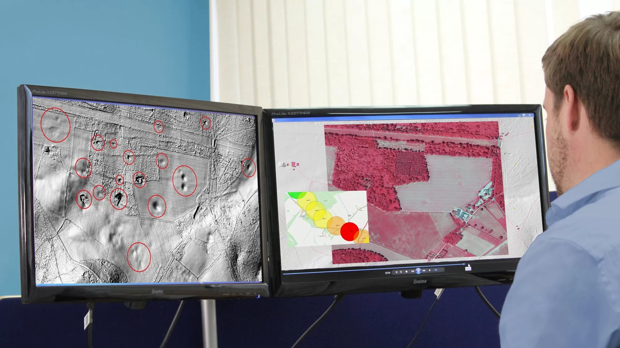
Archaeology
-
Wind farm planning
-
Coastal surveys
-
Quarries
Benefits
-
Off-the-shelf coverage
-
Unparalleled detail
-
High accuracy
-
Bespoke surveys by commission
-
Compatible with Ordnance Survey products
-
Flexible licensing terms
Visit The Mapshop To Access our world of data
Our online Mapshop gives you immediate access to a diverse range of geospatial data ranging from Aerial Photography, LiDAR, Terrain, National Tree Map™, Ordnance Survey, Derived Data.
Quick search: Enter area of interest
(postcode, town/city, coordinates or OS reference)

LiDAR products

Bluesky has many areas of the UK covered by premium off-the-shelf LiDAR available at up to 50cm GSD

Commissioning a bespoke LiDAR survey tailored to your own specification puts you in complete control