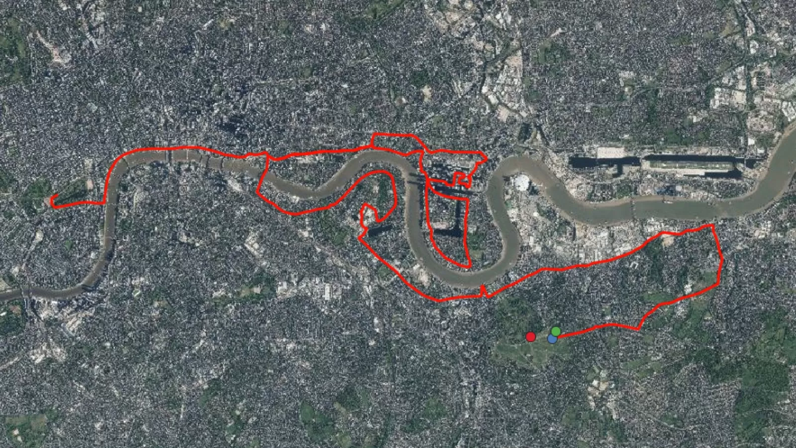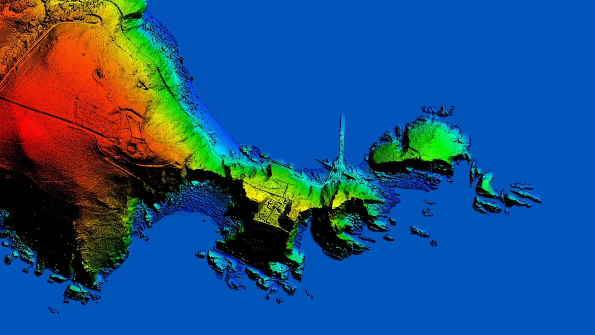
After a busy month, I have completed the 30 Day Map Challenge! Out of the 30 themes, I created 23 maps, each showcasing a different story, perspective, or technique. From visualising environmental conservation such as my map for day 12 to exploring new tools (day 13) and creative cartography (day 26), this challenge has been a great learning experience. It has encouraged me to use new datasets and tools which has helped me develop my GIS skills further.
To showcase my maps, I have created an Esri StoryMap to allow you to explore the ideas and themes behind each map in one central location. Below are the first 3 days of the 30 Day Map Challenge, to view the full StoryMap click here.
Day 1: Points
Today is the start of the #30DayMapChallenge that runs throughout November!! The idea is that everyday you create a map based on the theme of the day and share it on social media. Your map can be created using any data, tool and software. To get started, the theme for day 1 is points.
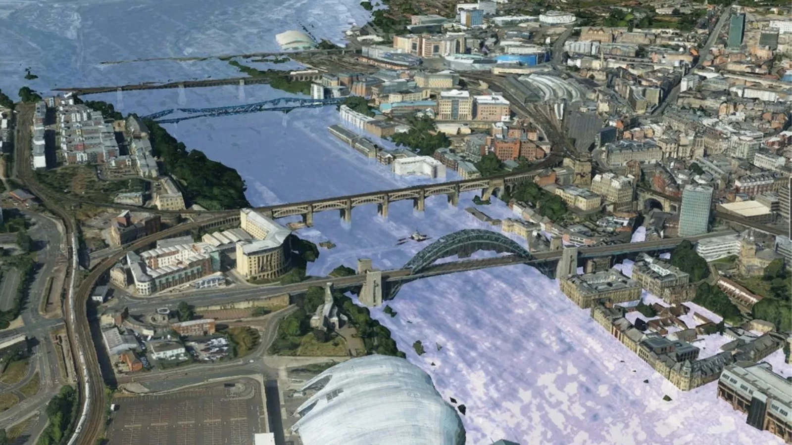
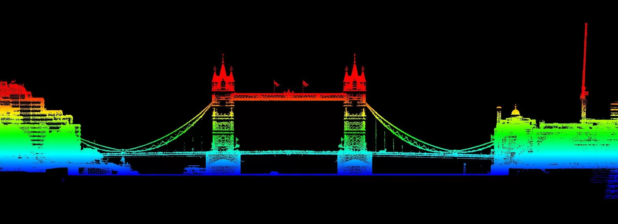
My points map is a LiDAR point cloud map of London Bridge created using Bluesky’s LiDAR data (with the help of Mark Thomas!).
© Bluesky International, 2024
Day 2: Lines
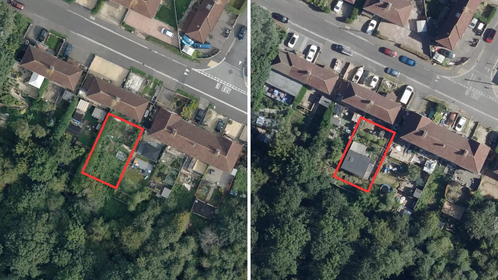
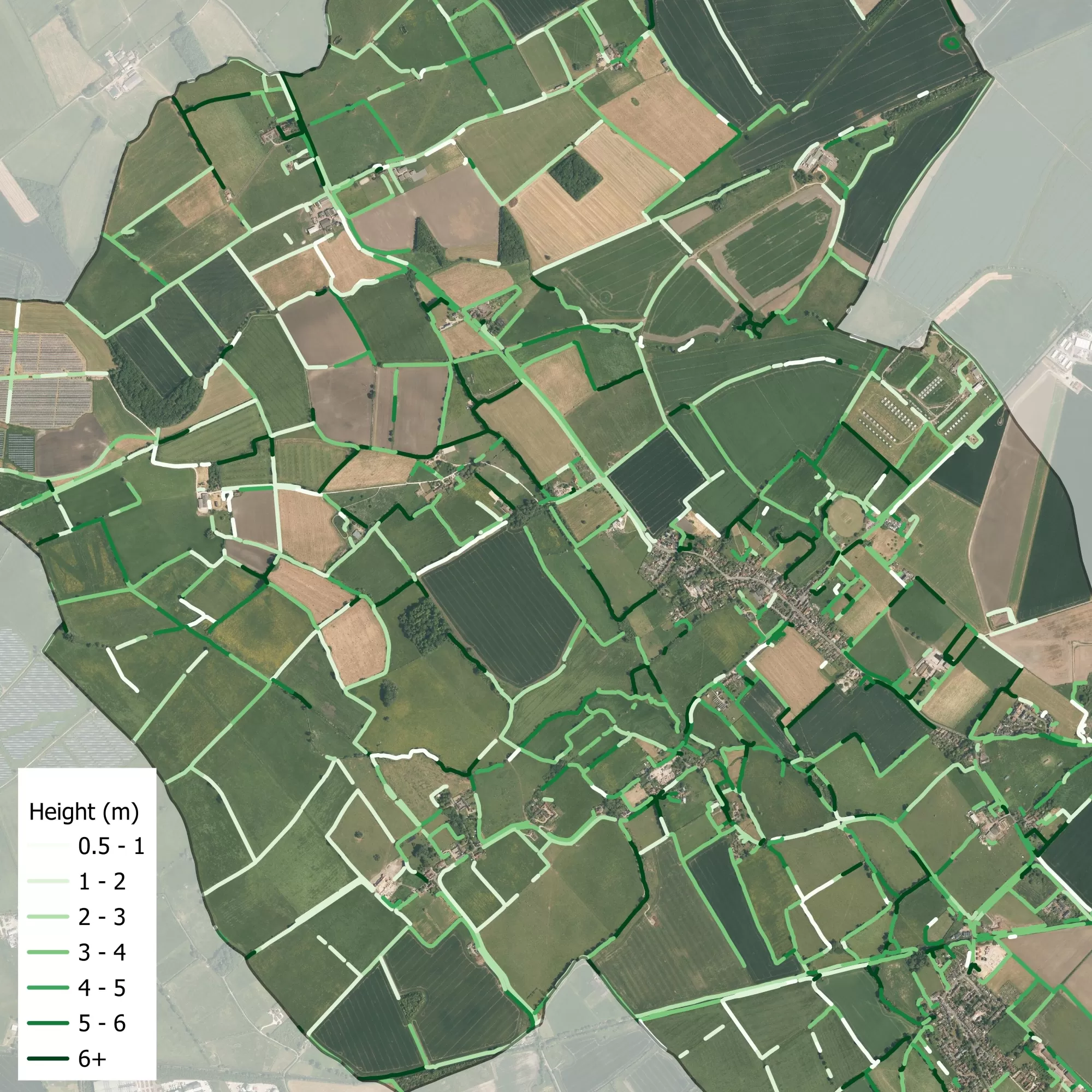
Day 2 of the #30DayMapChallenge focuses on lines. Using Bluesky’s National Hedgerow Map™ I have created a map representing the heights (in metres) of hedgerow features. Lines in a darker shade of green represent taller NHM™ polygons.
© Bluesky International, 2024
Day 3 & 4: Polygons and Hexagons
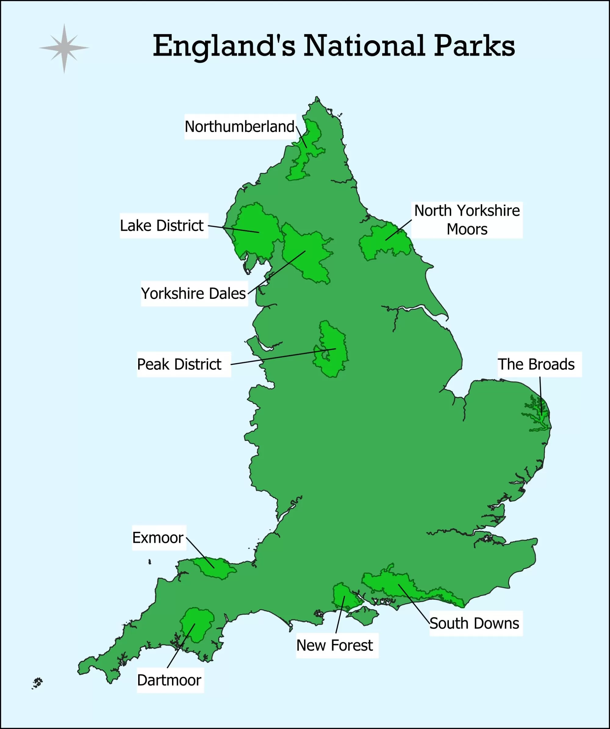
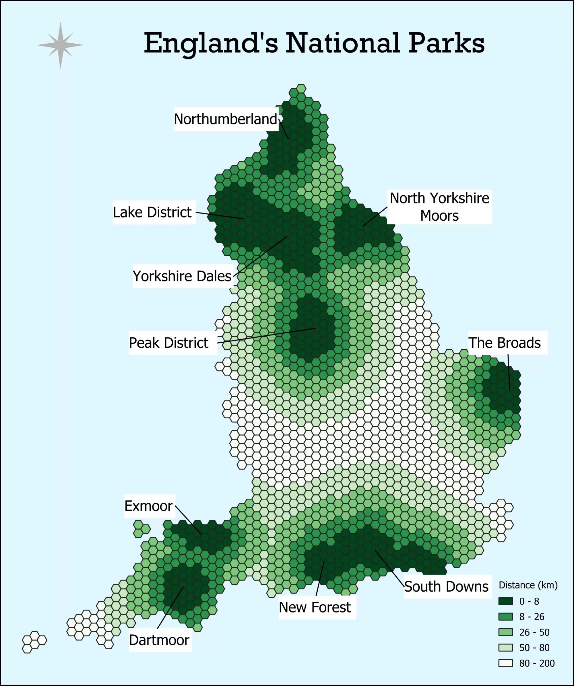
This year is the 75th anniversary of the National Parks and Access to the Countryside Act 1949. This allowed access to the open countryside for more people whilst preserving and protecting its natural beauty. To celebrate this, for day 3 I have created a map of the location of National Parks in England. For day 4 I have created a hexagon map showing the distance from each hex to the closest National Park.
Some facts about England’s National Parks:
🗺 There are 10 National Parks in England covering 9.3% of the land area
🥇 The first was the Peak District in 1951
🦌 The New Forest became the first park designated for its wildlife rather than physical landscape in 2005
🏡 A study conducted by CPRE The countryside charity showed a third of people in England live too far away from a National Park for it to be counted as easily accessible.


