[ccfic]
- A new AI platform to support UK’s SME housing developers
- High resolution aerial data imagery supports developer decisions on site viability
- Accurate data supports risk analysis and financial planning
A pioneering PropTech startup aiming to address the UK’s housing crisis with an innovative AI-tool integrating Bluesky International’s high resolution aerial imagery, eyes significant growth with a rebrand and funding stream announced.
Viability, formerly known as Hesti, launches at a critical time of rapid expansion for the UK’s house building industry with the new Government’s recent announcement committing to the creation of 370,000 new homes each year.
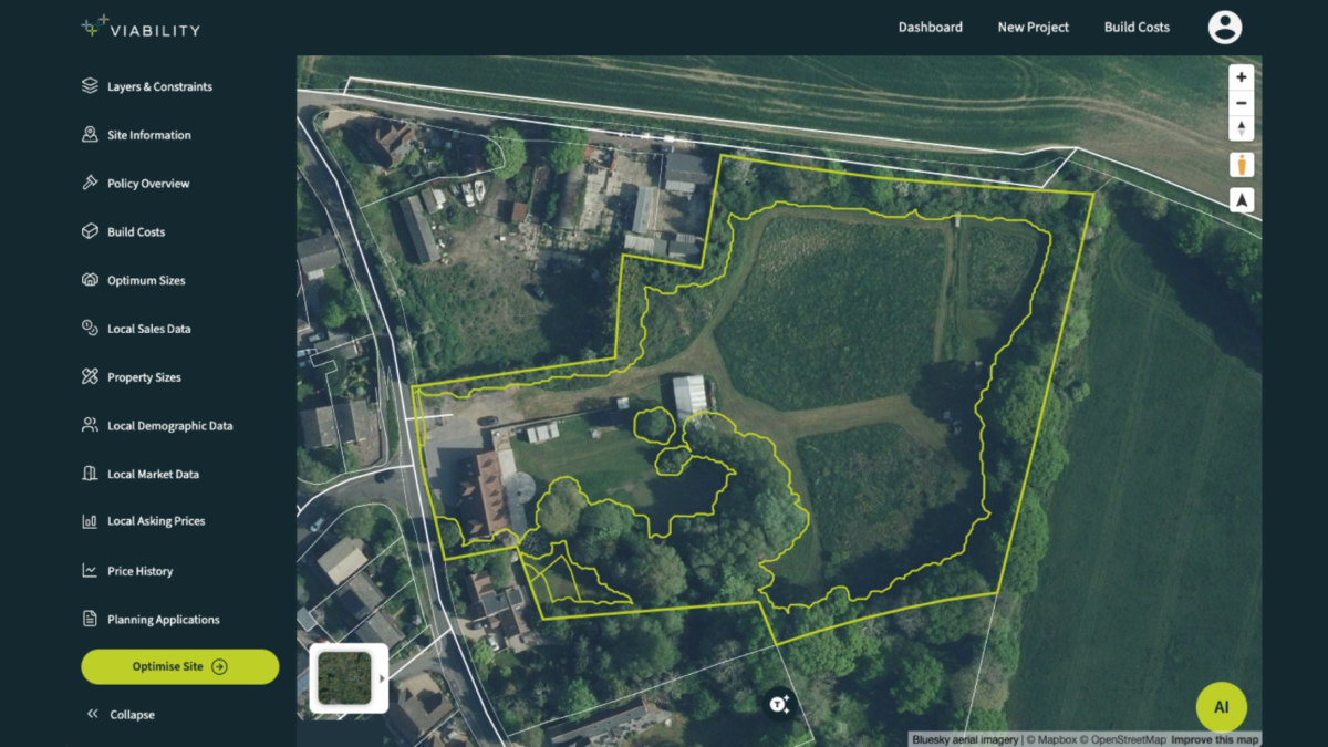
With a successful funding campaign now secured, Viability is looking to continue the rollout of its AI-platform which leverages cutting-edge technology, accurate property data and Bluesky’s geospatial data to deliver a SaaS platform, particularly aimed at SME home developers.
To ensure quality and accuracy for their customers, Viability has turned to Bluesky for the supply of aerial imagery to be streamed via the platform.
Henry Mayell, co-founder and Chief Operations Officer at Viability said: “We initially applied satellite imagery to the platform but quickly found that the quality wasn’t sufficient for our customer requirements. As a result of the feedback, we started testing aerial imagery from Bluesky which offered significant improvements in terms of image resolution and accuracy.
“Our platform enables developers to assess a site’s potential, understand what constraints there could be, in order to build a picture of risk and run financial analysis. With significant investment at stake it is important they can make decisions based on accurate data.”
Ralph Coleman, Chief Commercial Officer at Bluesky added: “Our aerial imagery offers the detail needed for developers to begin plotting optimal scheme designs for potential sites. We are supplying Viability with the imagery via our GeoStream service which launched last year. GeoStream is our new data-as-a-service offering which enables customers who need data from us on a regular basis to access it quickly and easily via an API.”
Henry commented: “We are very impressed with the GeoStream service and, from a user perspective, it has proved simple to implement into our platform. It also allows us to clearly overlay Ordnance Survey and Land Registry data over aerial imagery.”
The viability of potential sites is a key restricting factor to the housing industry meeting development targets. Regulations are increasing and becoming more complex so a full picture of a proposed site is essential. Viability has even recently incorporated Biodiversity Net Gain assessments into their platform.


