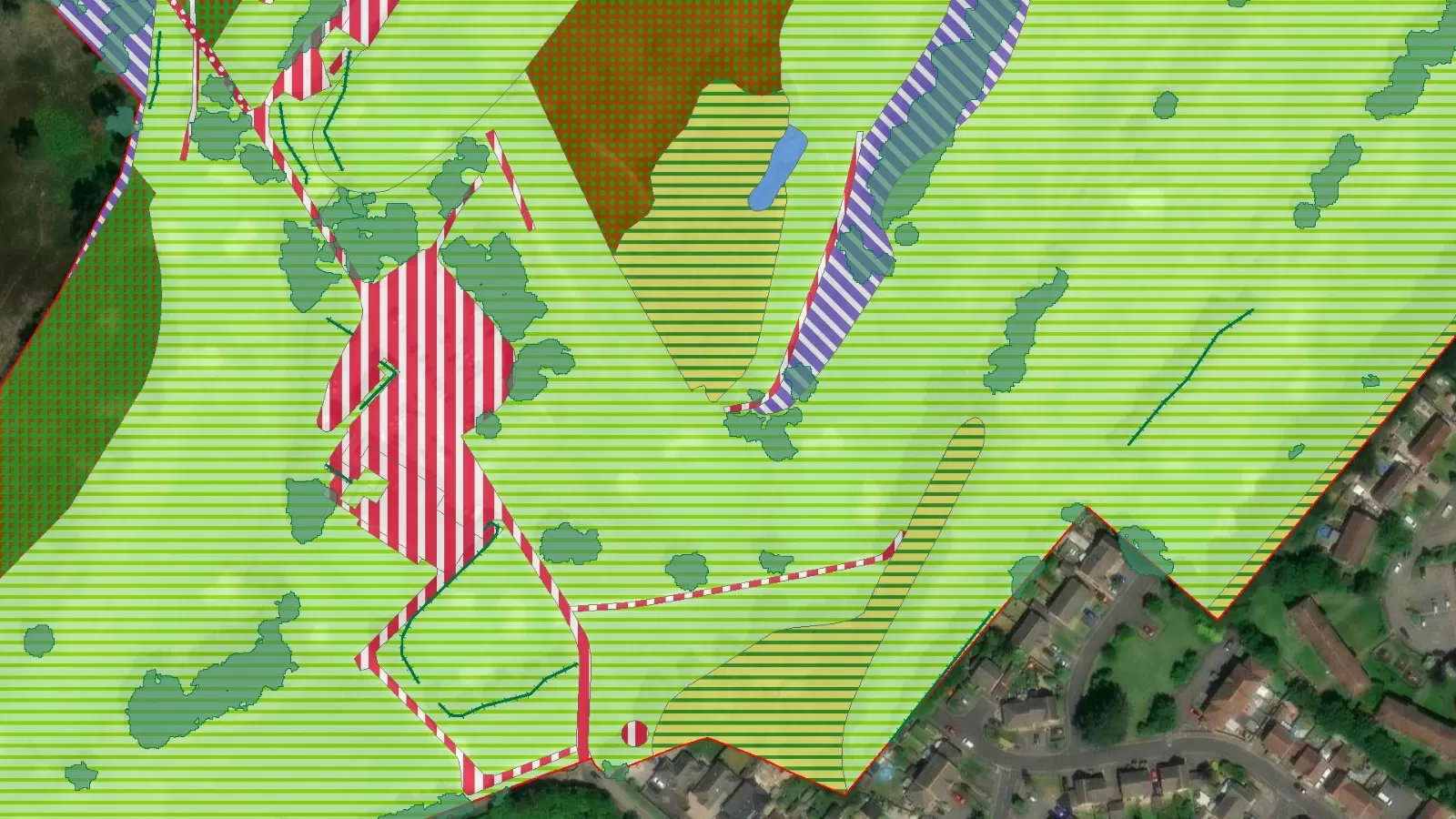
- NHM™ supports important Biodiversity Net Gain calculations
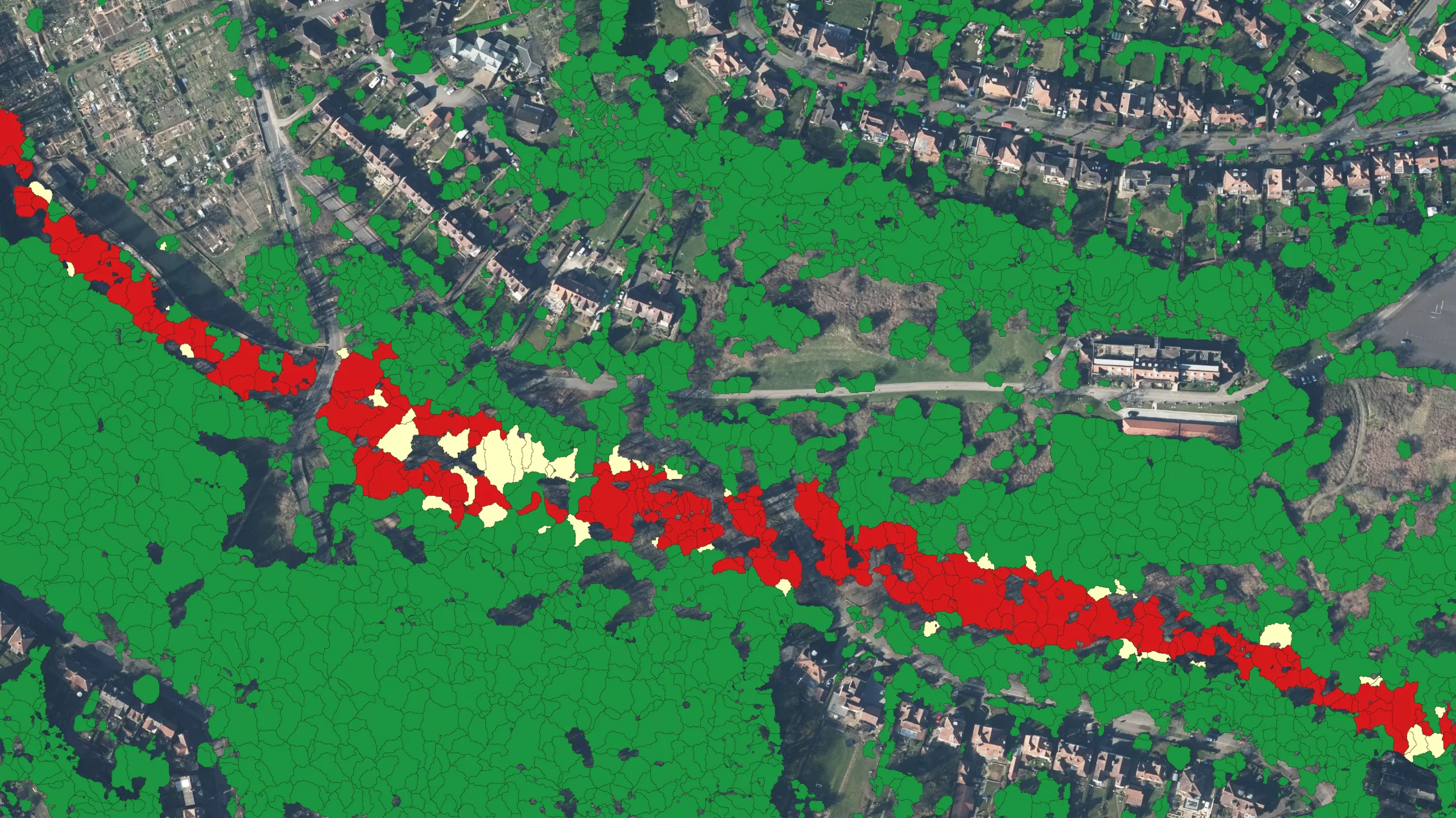
- A detailed hedgerow map that facilitates rapid carbon capture calculations
- NHM™ complements Bluesky’s established National Tree Map™ to offer comprehensive vegetation analysis
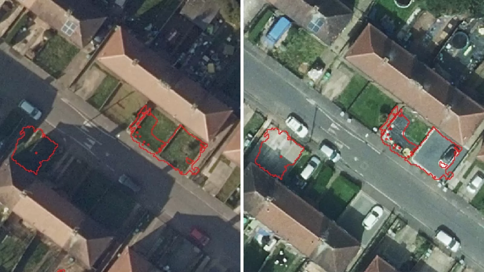
Just seven months after its UK launch, Bluesky’s National Hedgerow Map™ (NHM™) is being lauded by one of its first customers for filling a gap in data by accurately identifying where hedgerows are located and providing additional attribute data to support habitat classifications and carbon capture calculations.
The Environment Partnership (TEP) is an environmental consultancy supporting sustainable development in the UK and Ireland with environmental design and planning advice with a strong emphasis on personal service. They have been using data from the NHM™ to assess potential implications as part of Biodiversity Net Gain (BNG) legislation and also supporting baseline carbon sequestration assessments.
Introduced in February 2024, the BNG legislation aims to create and improve natural habitats. Ensuring developments have a measurably positive impact (‘net gain’) on biodiversity is now mandatory and developers must deliver a BNG of at least 10%, meaning there will be more or a higher quality of natural habitat than there was prior to any development.
Colin Bourne, Associate Director (GIS) at TEP, said: “Our clients – who range from housing developers to utilities and landowners/estates – are often looking to explore and procure substantial amounts of land, so getting a strategic understanding of the ecological position of sites is financially very important. Considering BNG early in the purchase and planning process enables accurate calculations to be made and gives insight into how much of a site can be developed whilst still adhering to BNG guidelines.”
TEP began using Bluesky’s hedgerow data shortly after it was launched to conduct baseline habitat calculations. The NHM™ can also be used for hedgerow carbon capture calculations thanks to its volumetric data capability. The hedgerow dataset provides location, height, volume, vegetation extent, and the centreline for all vegetation below three metres in height. TEP are supporting multiple land based organisations in understanding their annual carbon sequestration budget to facilitate progressive and challenging net zero ambitions.
Beth Jones, GIS Consultant at TEP, added: “We’ve used the NTM™ and NHM™ datasets together for strategic site assessments. Both datasets complement each other and have similar structures, so it’s easy to work with both at the same time. Having access to the NTM™ and NHM™ means we can complete an initial review of habitats and vegetation at our desks and advise our clients on which sites might require further on-site surveys and provide initial strategic spatial insights regarding potential BNG issues and carbon sequestration analysis.”
Ralph Coleman, Chief Commercial Officer at Bluesky commented: “With over 12 years of experience in creating, maintaining and updating the NTM™, we have now applied this expertise to hedgerows. We recognise the increasing need for accurate data to support regeneration, biodiversity planning and hedge planting initiatives. When coupled with data from the NTM™, it enables ecologists, conservationists and planners a comprehensive desktop overview of all Great Britain and Ireland’s vegetation.”


