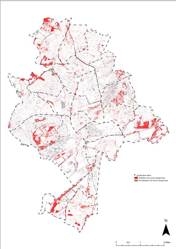
- Nottingham City Council and Nottingham University using Bluesky data to enable calculations
- National Tree Map™ imagery and data aids with carbon storage calculation
- Carbon map now influencing planning policy and tree planting plans
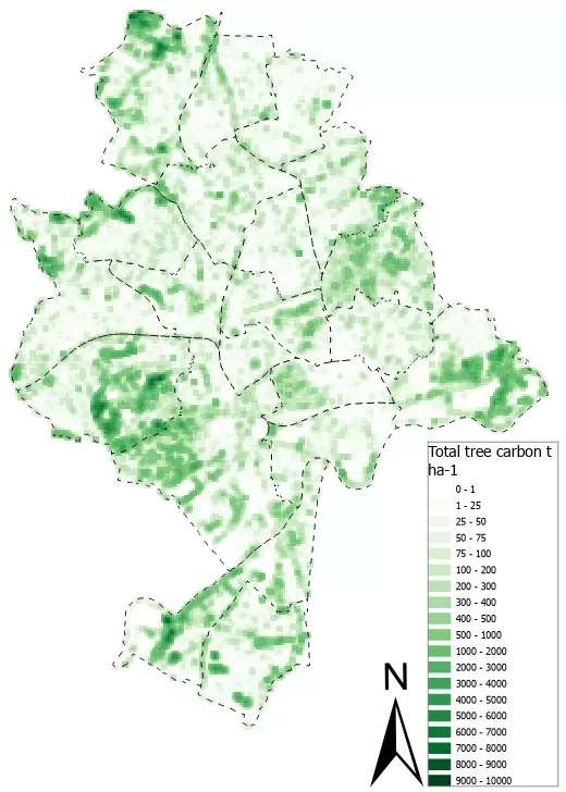
Using an allometric equation, modelling biomass from size, researchers have calculated carbon stored in the trees of Nottingham thanks to high resolution aerial photography from Ashby-based Bluesky International.
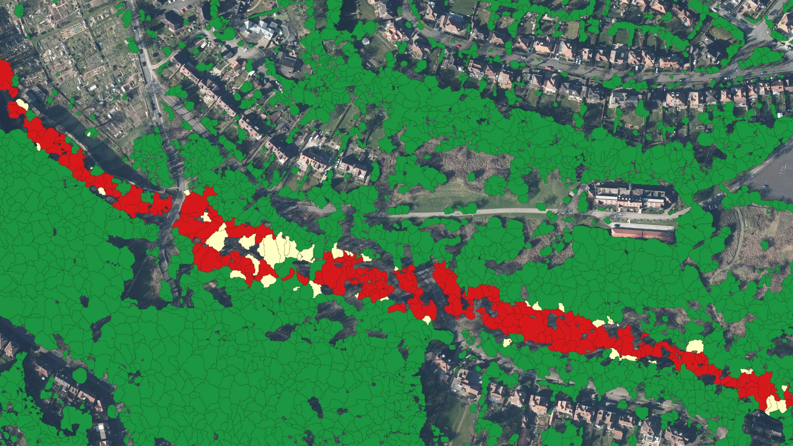
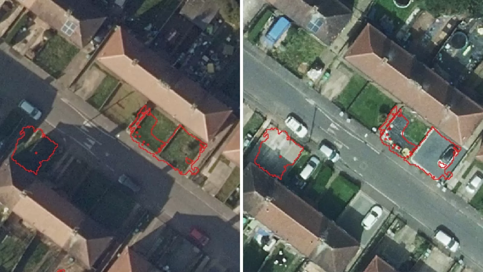
Height and crown size data taken from Bluesky International’s National Tree Map™ (NTM™) has enabled the team of academic experts to calculate the carbon stored within trees.
The team behind the project are Dr Samuel Booth and Dr John Hickson from the School of Geography at the University of Nottingham, funded by City As Lab, which conducts place based research that aims to benefit Nottingham and the wider region. They hope the findings in this report will be a big step in monitoring progress towards achieving Nottingham City Council’s ambition to be the first carbon neutral city in the UK by 2028 – a strategy named CN28, which is part of the Midlands net zero hub.
The city council and University of Nottingham are working in collaboration on the Nottingham Carbon Project which assesses ways to maximise carbon storage in trees and soil.
Desktop data available through NTM™ allows teams to calculate the amount of carbon stored in city trees which in turn influences policy around where new trees should be planted.
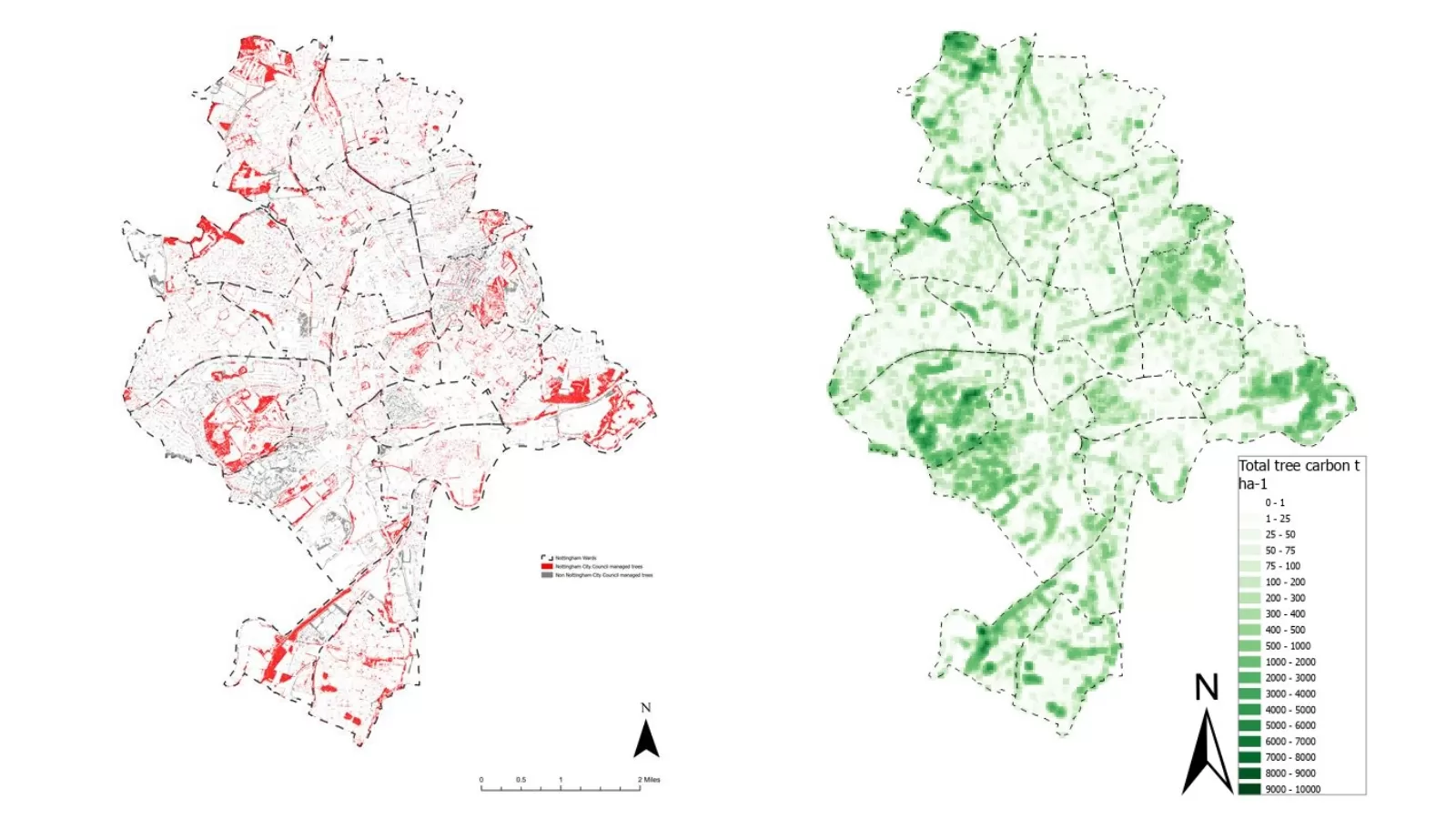
The work has led to council officers and university academics/researchers drawing up a carbon density map of Nottingham – something they now plan to roll-out across the wider Midlands region.
The map could be applied as part of the strategic planning of open spaces, supporting efforts to identify areas of the city where there is a need to improve air quality and carbon capture, and as part of tree planting strategy. It could also support planners to assess how well trees will survive in certain locations.
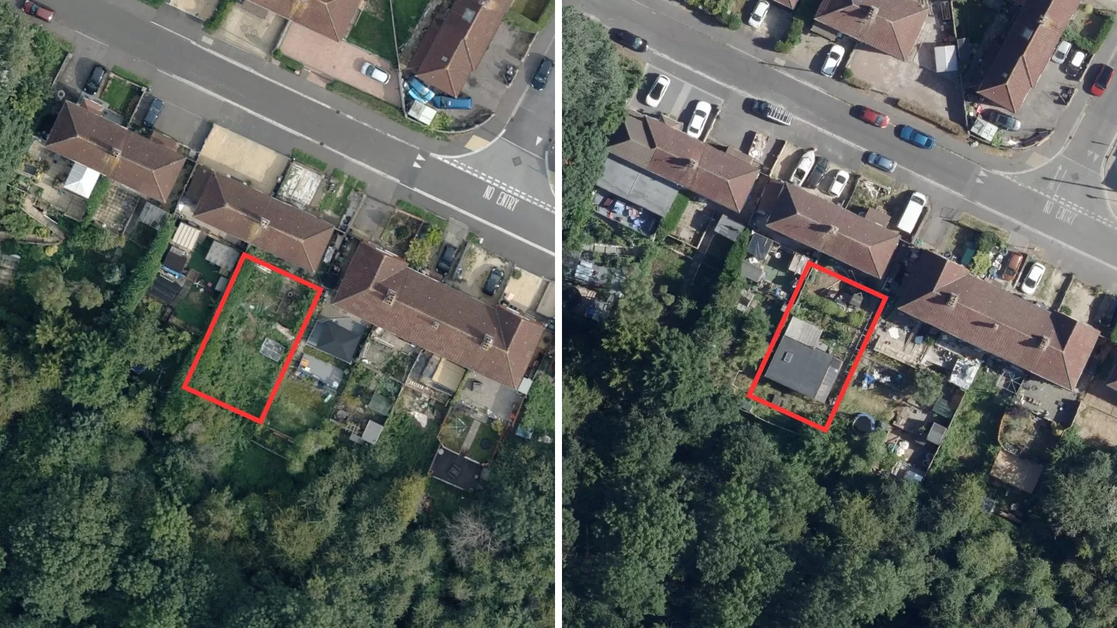
Dr Samuel Booth, the project lead said: “Before we were introduced to the Bluesky NTM™ data we had planned on conducting our research in a smaller inner-city area. However, the NTM™ data that we access on the desktop was a game-changer and meant that we could easily cover much more ground without the need for manual measurement. Using data from 2019, what we have developed is a baseline for carbon that is being stored in the city’s trees. Using subsequent years of data, we now hope to be able to monitor the success of Nottingham City Councils tree planting strategy to increase carbon sequestration in aid of the CN28 goal.”
NTM™ captures the height, location and canopy/crown extent of trees 3m and taller, whether in urban or rural areas, in small clusters, woodlands and forests, or single trees across Great Britain and Republic of Ireland.
Ralph Coleman, Chief Commercial Officer at Bluesky, said: “Understanding our environment is what will be key to achieving carbon neutrality and geospatial datasets offer a baseline of information to enable decisions to be made and targeted action taken. Understanding carbon capture is high on the environmental agenda right now and the National Tree Map™ is enabling accurate analysis to be undertaken quickly and efficiently from the desktop.”
Laura Pullen, GIS Manager at Nottingham City Council, added: “This research has the potential to be highly valuable for various teams at the council, especially the parks and open space as well as our energy and carbon neutrality teams. The information may align with some of the most deprived areas where vulnerable citizens live, helping us to develop targeted plans aimed at enhancing urban greening, which could bring both health and well-being benefits to our communities, alongside urban cooling opportunities. The data might also play a role in informing policy and shaping agendas across the city.”
The findings have all been published in a publicly available report which includes recommendations on future tree planting activity.
Next steps for the CN28 team will involve expanding the project to other areas, implementing recommendations and exploring how the data can be applied to other projects.


