[ccfic]
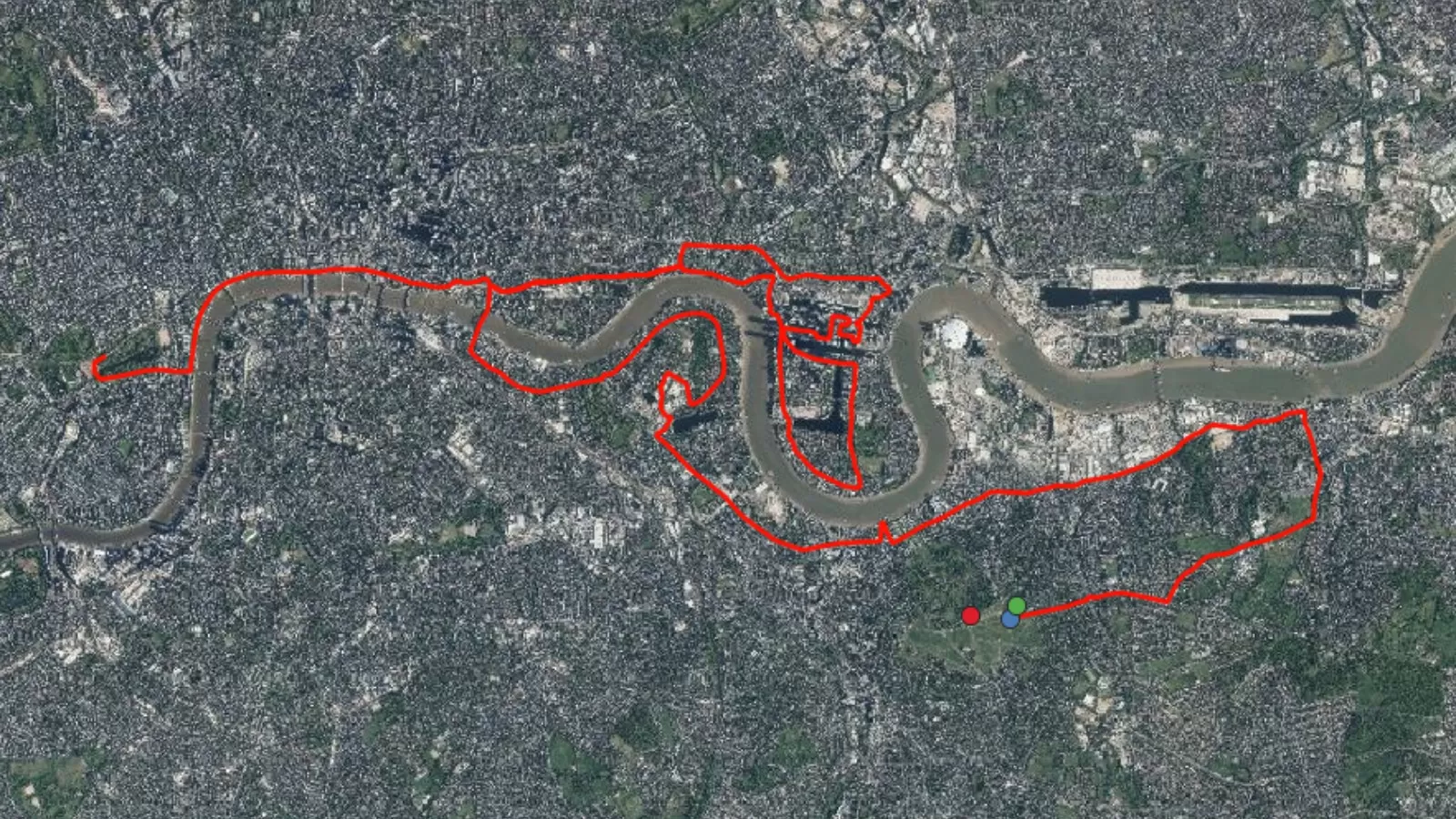
The London Marathon, first held in 1981, has grown into one of the world’s most prestigious long-distance running events. Every April, tens of thousands of runners — from elite athletes to enthusiastic amateurs — take on the 26.2-mile challenge through the heart of the capital. Cheered on by over a million spectators and watched by millions more around the world, the race winds past some of London’s most iconic landmarks. Over the decades, it has evolved from a sporting event into a global celebration of endurance, charity, and community spirit.
At the first marathon only 20,000 individuals registered for the event with just 7,000 actually participating. Since then, the event has significantly grown with 578,000 applications in 2024 and 53,000 runners in 2024. Its popularity continues to expand with the 2025 event, held on April 27th, receiving applications from over 840,000 people! Since the first race, more than 1.3 million people have taken part and over £1.3 billion has been raised for charity. As the race grows year by year, so does the complexity of its organisation and the need for careful planning. From managing runners and spectators to ensuring safety and logistics, every aspect of the event must be meticulously coordinated.
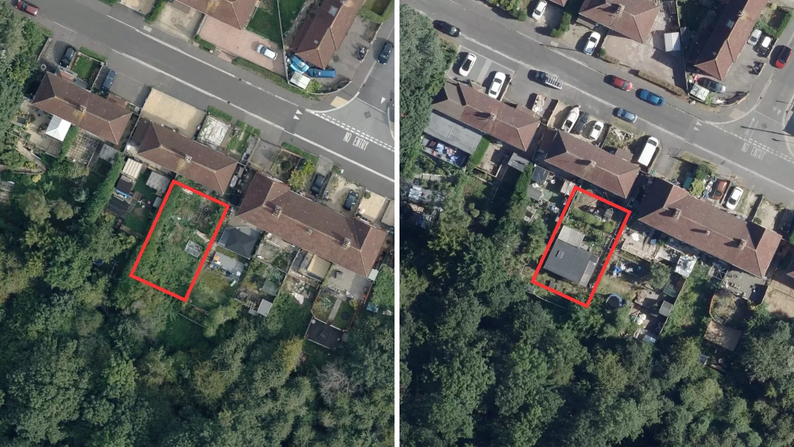
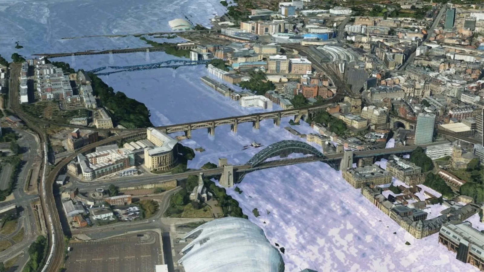
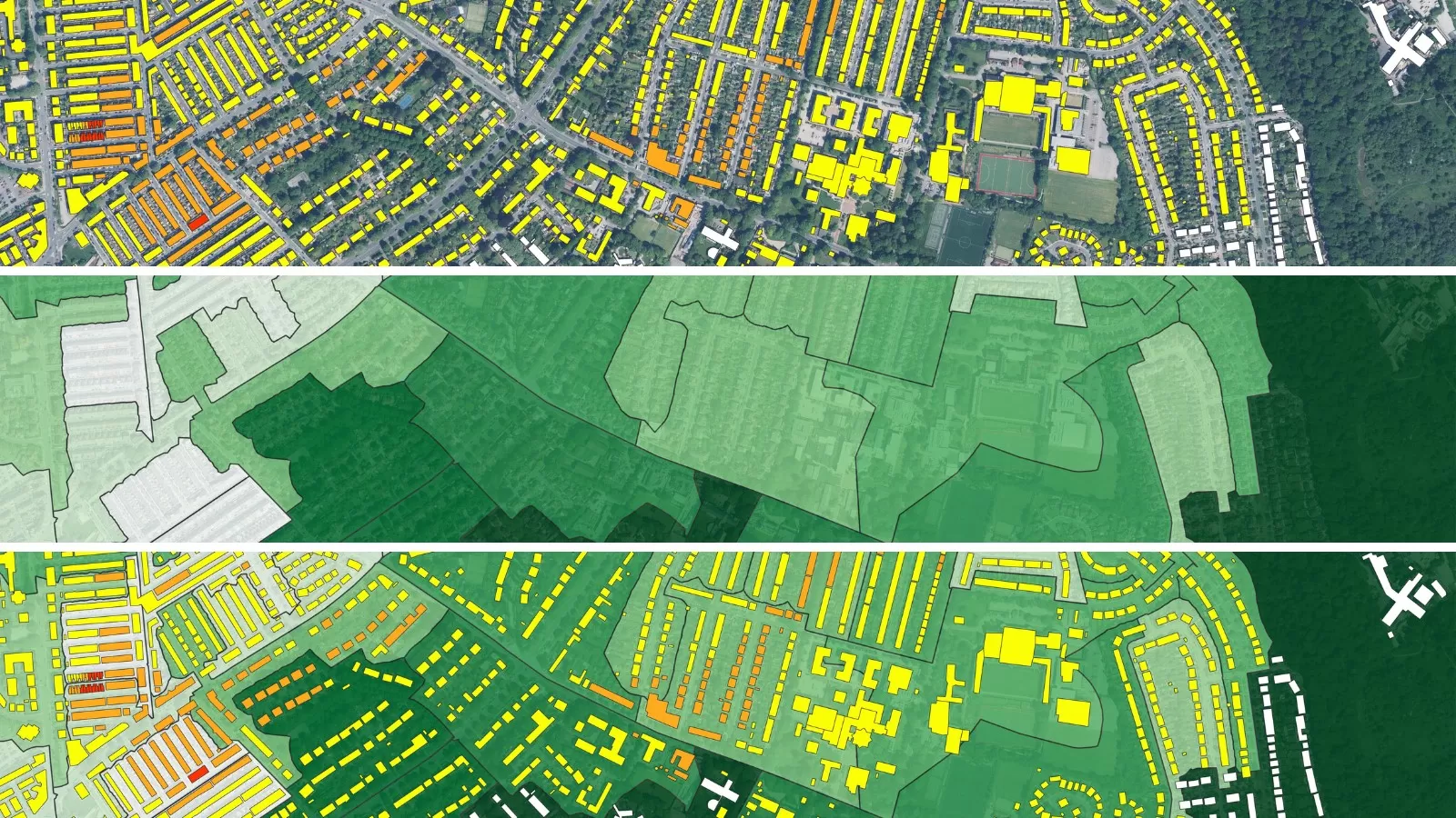
Large-scale events like the London Marathon require not only the dedication of participants and volunteers but also extensive logistical support, often facilitated by geospatial data. This StoryMap highlights key locations along the marathon route and explores how geospatial data, including oblique imagery, 3D mesh models and unique datasets such as the National Tree Map™, can support the race at each point, helping organisers ensure a smooth, safe, and memorable experience for everyone involved.