[ccfic]
The impact of climate change is a hot topic with unpredictable weather patterns being recorded across the globe. With every degree of warming there are more frequent and intense weather events and hazards, increasing the risks to communities worldwide. Impacts of climate change include increased flooding, heatwaves, wildfires and drought with over 4.5 billion people globally at risk of extreme weather events – a 20% increase in the last decade (1).
The United Nations Early Warnings for All is an initiative that was launched in 2022 to ensure everyone is protected from extreme weather events by 2027. Early warning systems have been proven to be cost-effective, efficient methods to save lives and aid with disaster risk reduction. However, 1 in 3 people in the world don’t have access to early warning systems (2).
The Rising Threat in the UK
In recent years the UK has seen an increase in rainfall leading to more frequent and extreme flooding. Over 5.2 million properties in England are at risk from flooding (both coastal and extreme rainfall) with knock on effects to services and utilities affecting significantly more people than this (3). The latest State of the UK Climate report confirms that the period from 2014-2023 was 10% wetter than the decade from 1961 – 1990. With every 1℃ increase in temperature, the atmosphere can hold approximately 7% more moisture which is why we experience more and heavier bouts of rainfall (4).
Although the UK has a number of world class early warning systems including free flood warnings, Met Office weather warnings and 7-day forecasts, more work needs to be done to protect a larger number of people. In response to this, a new Floods Resilience Taskforce was launched in September 2024 to boost the development of flood defences and build resilience to increasing bouts of extreme weather. A joint focus on early warning systems coupled with improved flood defences is needed to help create resilient communities (5).
The Role of Geospatial Data in Flood Risk Management
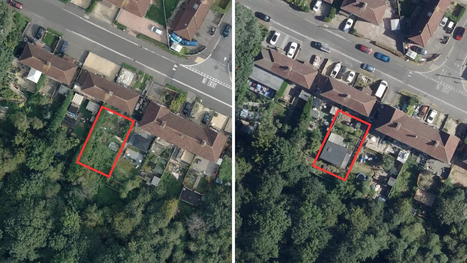
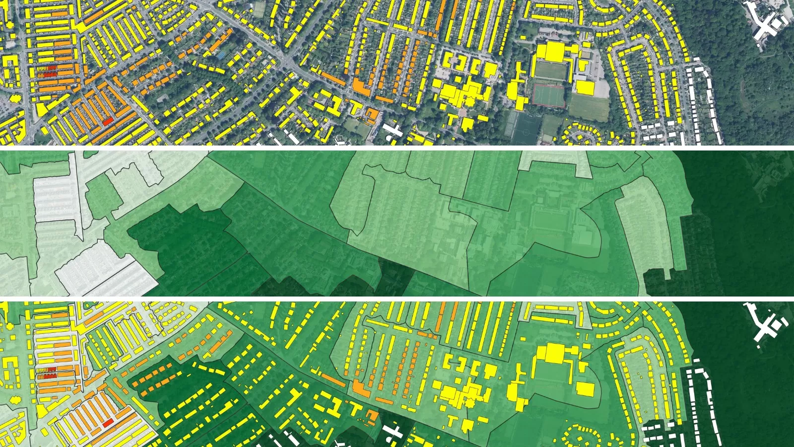
Geospatial datasets have a crucial role to play in the development of flood defences and identifying areas of at-risk residents and businesses. Bluesky has the most up-to-date national aerial imagery available in addition to over 20 years of historic imagery available from our archives. This can be used to identify land use changes over time, changes or re-direction of river courses, and to analyse historic flooding patterns. Comparing pre- and post- event imagery, the extent of damage can be assessed and plans to reduce the impact of future events can be created.
Digital surface and terrain models (DSM/DTM) can be applied to support the development of flood modelling and creating flood simulation models to predict areas at risk of flooding. DSM’s can be used to understand urban areas and how buildings and trees may affect run off; DTM’s can be used for watershed analysis to evaluate the impact of slopes and speed of run off.
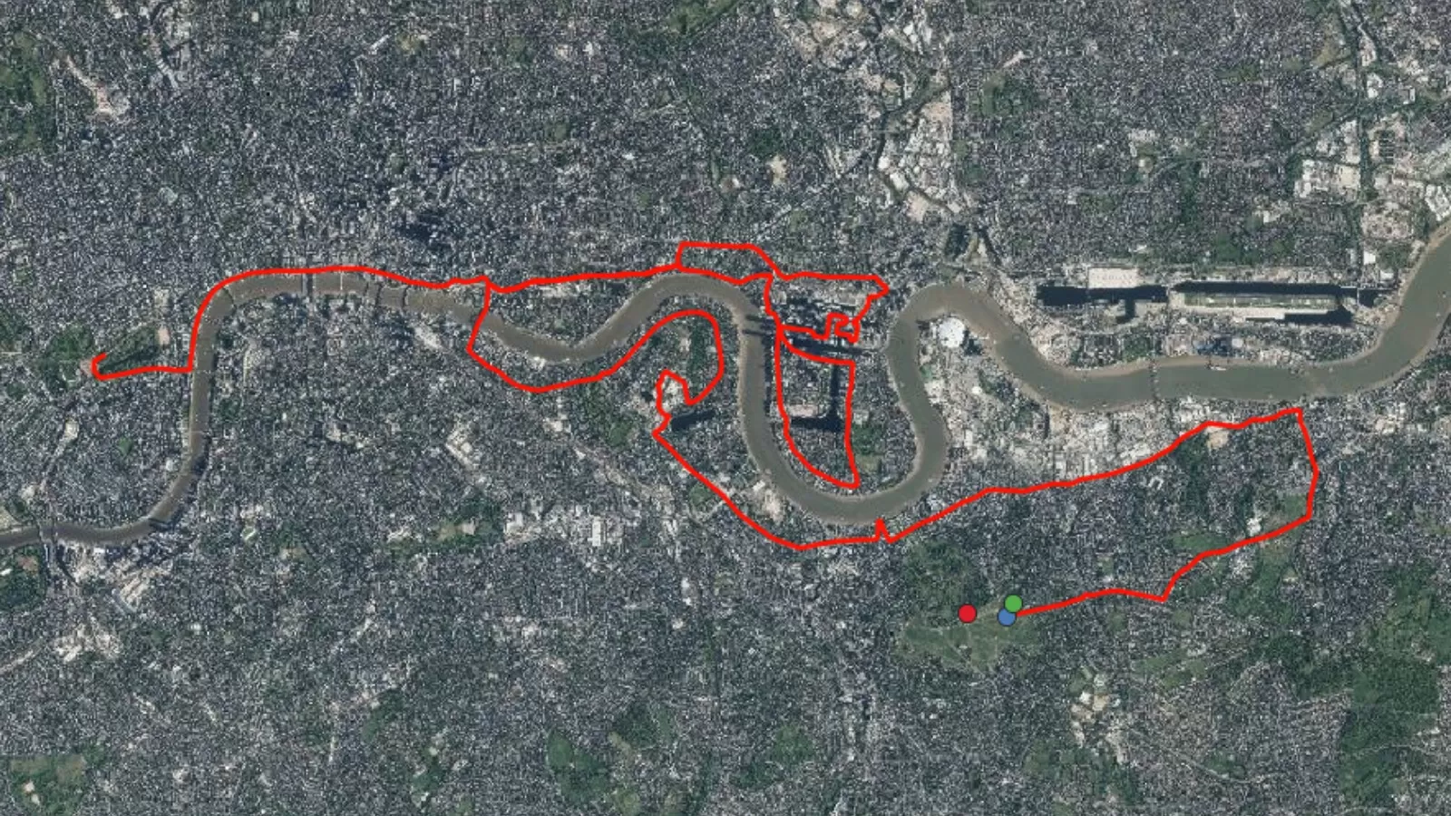
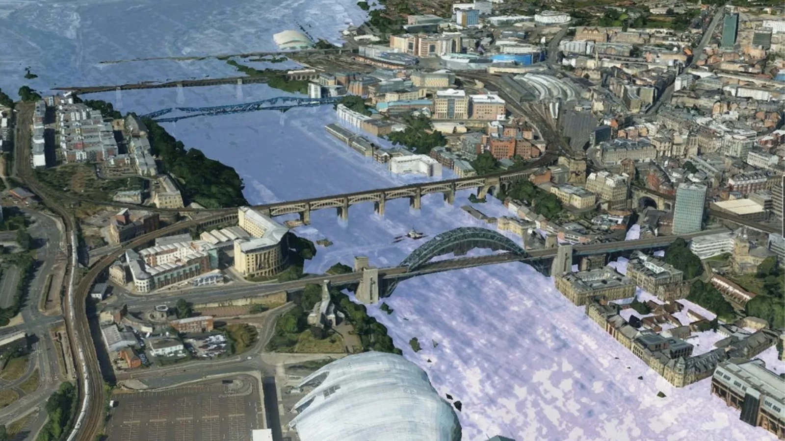
Another cutting-edge tool is 3D flood risk modelling. By using detailed datasets like Bluesky’s MetroVista™ (7), urban planners and engineers can create realistic flood simulations, which help in both flood mitigation and emergency response. For example, 3D models are used to map key infrastructure, such as roads and bridges, which are crucial in evacuation planning and ensuring that response strategies are effective when floods strike.
A notable example of this technology in action is PYRAMID, a platform that integrates dynamic, hyper-resolution, near-real-time flood risk assessments. It was developed in collaboration with researchers at Newcastle University, Loughborough University, and the Urban Observatory (8). The platform uses a combination of data sources to create a comprehensive flood risk model, providing crucial insights for flood preparedness and resilience.
Broad Benefits Across Sectors
The detailed flood risk information derived from geospatial datasets has wide applications. Environmental consultants, risk and home insurance companies, building developers, and local authorities all benefit from access to this data. Furthermore, emergency services, infrastructure planners, and public health agencies can use this information to improve preparedness and response to extreme weather events.
Knowing where flooding may occur, analysing historical patterns of change and terrain features can all support the development of effective flood defences and targeted warning systems, which are important to help people protect their homes and livelihoods.
During the 2024 floods in Leicestershire, for instance, the Environment Agency monitored river levels and issued timely flood warnings. New gauges were installed to monitor river levels with the aim of protecting 700 properties in Charnwood (6). Residents have been encouraged to make personal flood plans as well as the introduction of a new alert system to improve early warning processes with residents receiving a text, call or email with what actions to take if there is flooding in the area. The Met Office also issued advanced weather warnings, ensuring that communities were kept informed about the potential for flooding.
These alerts, which were sent out via calls, texts, and emails, helped protect residents and businesses at risk.
Conclusion: The Path Ahead
As climate risks continue to grow, building resilient communities is essential. Through continued investment in early warning systems, innovative technology and cross sector collaboration, we can reduce the impacts of flooding and other climate related hazards. The Early Warnings for All initiative offers a hopeful vision for the future, but it requires collaboration from governments, technology providers, and communities to ensure that everyone, no matter where they live, is protected from the increasing threats posed by climate change.
Effective early warning systems and robust flood defences are the backbone of this effort. With the right tools, such as geospatial datasets, advanced flood modelling, and 3D simulations, we can create resilient communities that are better prepared to face the future, effectively respond to extreme weather events, and protect lives and livelihoods from the impacts of climate change.
Sources
(1) Counting People Exposed to, Vulnerable to, or at High Risk From Climate Shocks – World Bank Group
(2) Early Warnings for All | United Nations
(3) National flood and coastal erosion risk management strategy for England: executive summary – GOV.UK
(4) How climate change worsens heatwaves, droughts, wildfires and floods – BBC News
(5) New taskforce launched to turbocharge flood preparedness and delivery of flood defences – GOV.UK`
(6) Charnwood: Three flood risk areas get new warning service – BBC News
(7) MetroVista – Oblique and Nadir imagery & LiDAR from Bluesky
(8) Bluesky-Case-Studies-MetroVista-Data-Informs-Hyper-Resolution-Flood-Risk-Modelling.pdf