[ccfic]
- Team at the University of Liverpool creates first-of-its-kind digital twin
- A state-of-the-art GIS data platform developed by experts for use in city management
- 210 sq. km area of the city captured and digitalised for cloud-based platform
The creation of a unique and highly accurate digital twin of the Liverpool City Region is set to offer a transformative way of working for several diverse stake holders and external users. The VEC (Virtual Engineering Centre) at the University of Liverpool has launched the tool as the geospatial foundation of a new cloud-based city management platform.
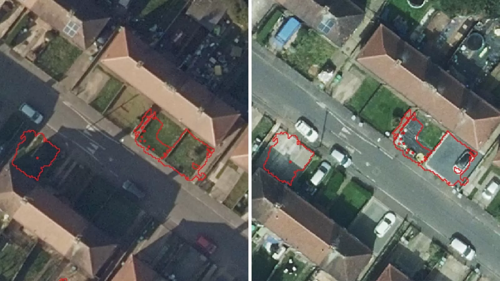
Using Bluesky International's MetroVista™ dataset, a detailed 3D mesh model has been created, utilising a combination of vertical and oblique aerial imagery, as well as LiDAR scanning. This enables the city-scale digital twin, MetaCity: Liverpool, to integrate a comprehensive range of datasets detailing different services and systems across the city.
The development team based in the University's Virtual Engineering Centre, are now looking to commercialise the platform, seeing the real benefits that access to the data can provide to planners, investors, emergency services, law enforcement, event management, environmental and air monitoring, and much more.
Konstantin Vikhorev, Chief Technology Officer at the VEC, commented: "We can now offer a widespread, digital 3D visual of the city that will provide essential data insights into decisions affecting city infrastructure, housing opportunities, the environment and beyond.
"Our platform is a comprehensive suite of tools and data-driven capabilities and is the first–of–its–kind to deliver this level of detail. It has been designed to make a real difference to businesses and policymakers involved in city management, enabling enhanced efficiencies and greater informed decision making."
Konstantin and Ralph Coleman, Bluesky's Chief Commercial Officer were proud to present at the recent Geo Business event, discussing the launch of MetaCity Liverpool with visitors.
Bluesky's MetroVista™ range is the ideal baseline data on which to begin building a digital twin. Ralph said: "MetroVista™ 3D was launched a number of years ago, and despite an encouraging level of adoption for more specific applications, it is only more recently we are seeing citywide digital twins evolving using Metrovista™ 3D as the geospatial foundation. The visionary team at the VEC have expertly delivered an immersive experience that goes beyond what is possible on the desktop and it is thrilling to see groundbreaking innovation that will have a beneficial impact and pave the way for resilient, sustainable and connected cities."
Bluesky were supported with the production of the MetroVista™ mesh by Skyline, a leading provider of 3D earth visualisation software and services.