Product Guides and Brochures

Bluesky strives to capture, create, adapt and analyse the highest quality geospatial data using novel and innovative methods, enabling our customers to solve problems, accelerate efficiencies and ultimately save time and money. Download our product guides below.

Bluesky's product brochure showing front cover

Bluesky Brochure

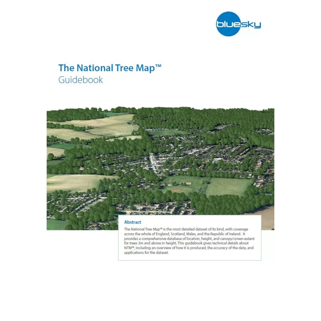
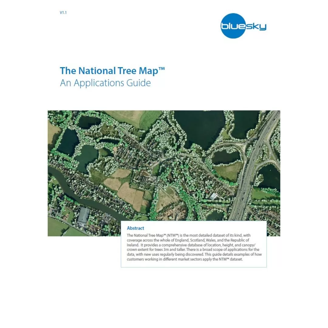
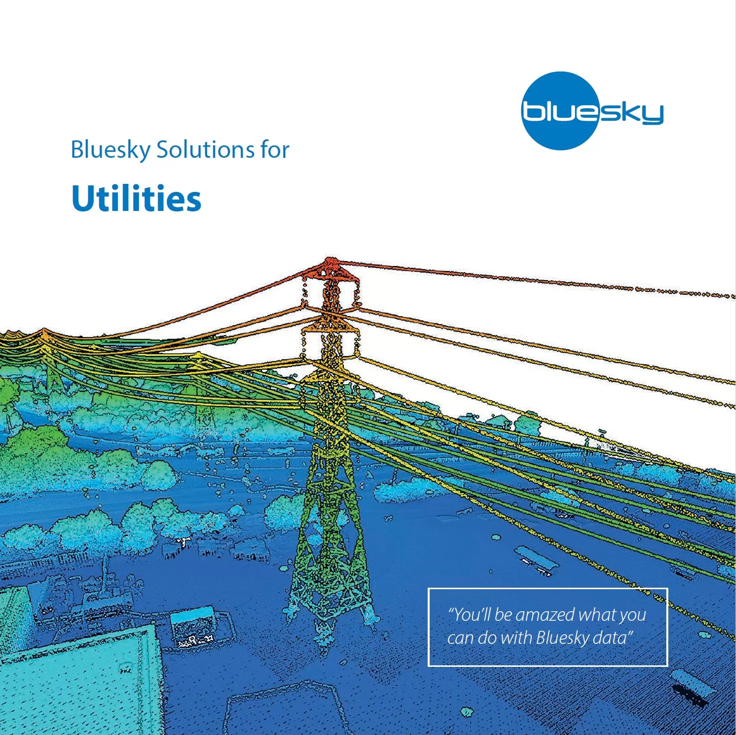
Information on Bluesky’s range of products including Aerial Photography, MetroVista™, National Tree Map™, 3D Building Models, Topographic Mapping, Thermal Mapping and Height data from LiDAR, Digital Surface Model (DSM) and Digital Terrain Model (DTM).

National Tree Map™ Product Guide

This guidebook gives technical details about Bluesky’s National Tree Map™ (NTM™), including an overview of how it is produced, the accuracy of the data, and applications for the dataset.

National Tree Map™ Applications Guide

There is a broad scope of applications Bluesky’s National Tree Map™ data, with new uses regularly being discovered. This guide details examples of how customers working in different market sectors apply the NTM™ dataset.

Thumbnail image of Bluesky's Local Authorities Brochure

Bluesky Local Authorities Brochure

Bluesky’s Local Government package offers excellent value combining four key geospatial datasets in a GIS-ready bundle. The package includes orthorectifed aerial photography, orthorectified CIR (colour infrared), DTM and DSM.

Thumbnail image showing Bluesky's Utilities Brochure

Bluesky Utilities Brochure

Download our product brochure on data sets useful to the Utilities Sector, including tools to monitor vegetation growth near powerlines.