News
Events
16th-18th
5th
February, 2026
Bluesky will be exhibiting at Geo Week at the Colorado Convention Center, Denver, CO, USA.
24th
5th
February, 2026
Bluesky will be exhibiting at AGI Scotland Annual Conference at the at the Radisson Blu, Glasgow.
12th
5th
May, 2026
Bluesky will be exhibiting at the Esri UK Annual Conference at the QEII Centre, London.
About Bluesky International
Bluesky International, a Woolpert company, is the leading aerial survey company in the UK and is the UK Government’s supplier of choice for national aerial photography and height data.
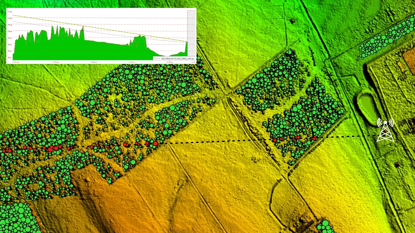
Bluesky produces and maintains the most up-to-date national aerial photography and height data of Great Britain and the Republic of Ireland via a regular update capture programme. Additionally, Bluesky undertakes bespoke surveys, including LiDAR, for a range of public and private sector clients.
Bluesky International operates a range of aircraft and sensors including three Ultracam
Eagle Mark 3s, a TerrainMapper and two CityMapper 2s which allow the simultaneous
collection of vertical and oblique imagery, as well as LiDAR data. These systems put Bluesky in the enviable position of being able to provide customers with unique and cost-effective geospatial solutions.
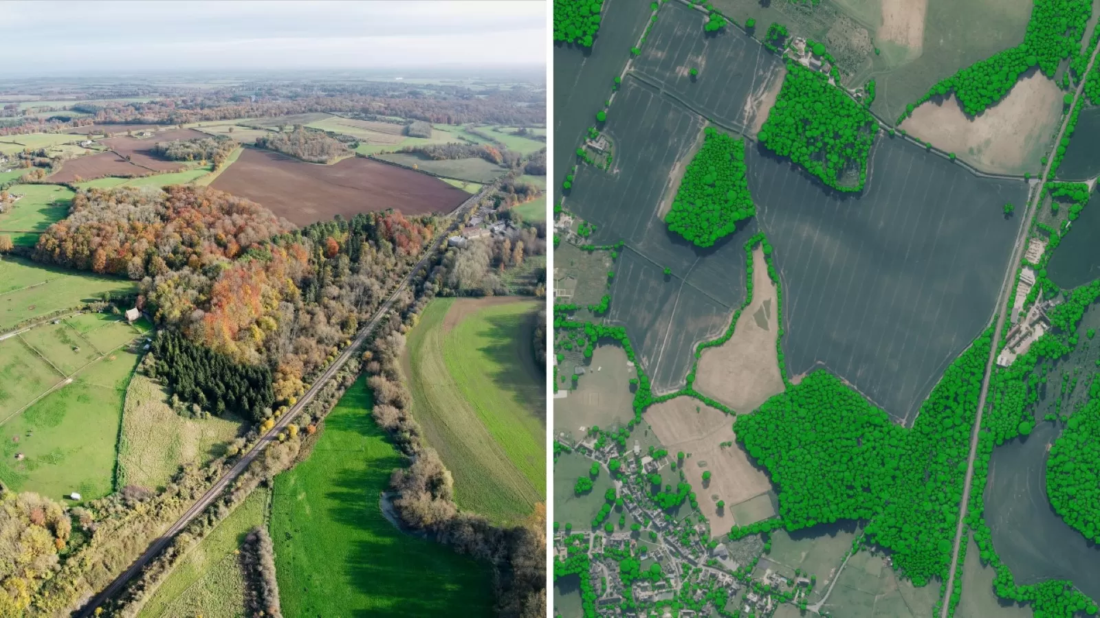
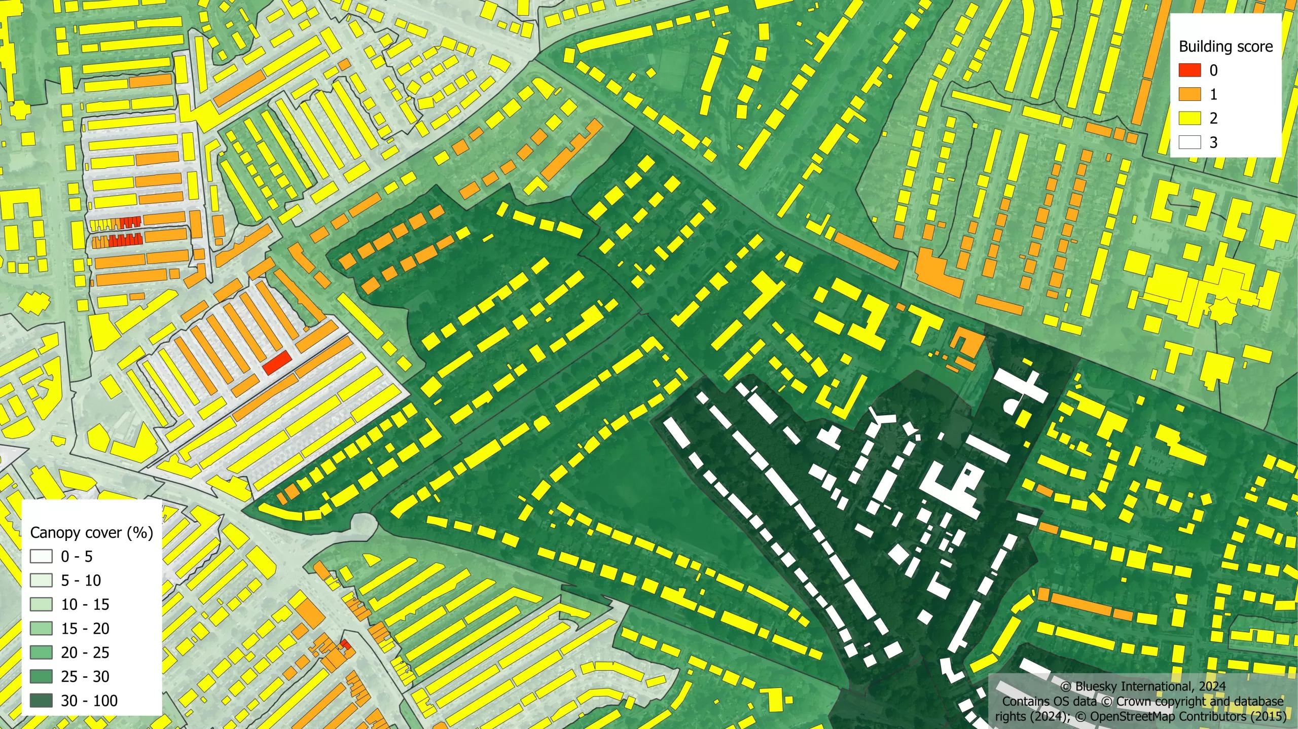
As well as being an established and respected aerial survey company, Bluesky International is highly innovative and continually strives to develop new products and services, embracing new technology and methods. This has resulted in the development of some unique and successful products such as the National Tree Map™ (NTM™) and the National Hedgerow Map™ (NHM™).
These datasets underpin long term contracts with local and central governments and many major blue-chip companies from a range of market sectors, including financial services, utilities, telecoms, insurance, construction, and environment.
Bluesky International has offices in the UK, US, Republic of Ireland and two dedicated production centres in India. The company was acquired by Woolpert in 2025. For more information, please visit www.bluesky-world.com.
Media Contact
Debbie Hughes, Head of Marketing and Communications
debbie.hughes@bluesky-world.com
+44 (0) 1530 518518


