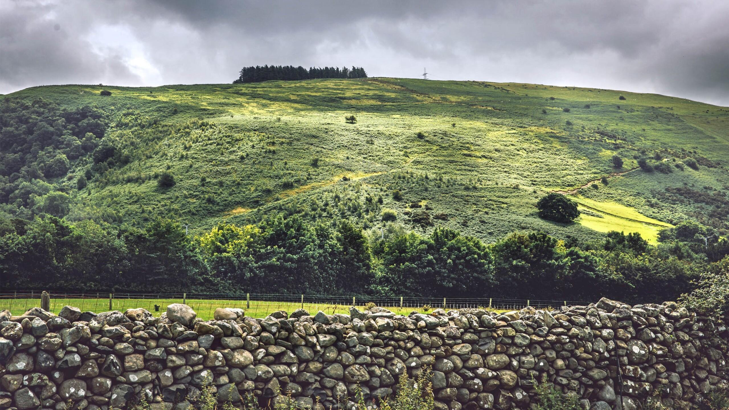
A map detailing the location and attributes of more than 300 million trees is being used to research the role of natural woodland in meeting climate change targets. With UK Governments pledging tens of millions of pounds for tree planting schemes, the Bluesky National Tree Map data is being used by researchers at Bangor University and the Sir William Roberts Centre for Sustainable Land Use to understand where, in such a crowded landscape, many thousands of hectares of new woodland could be located.
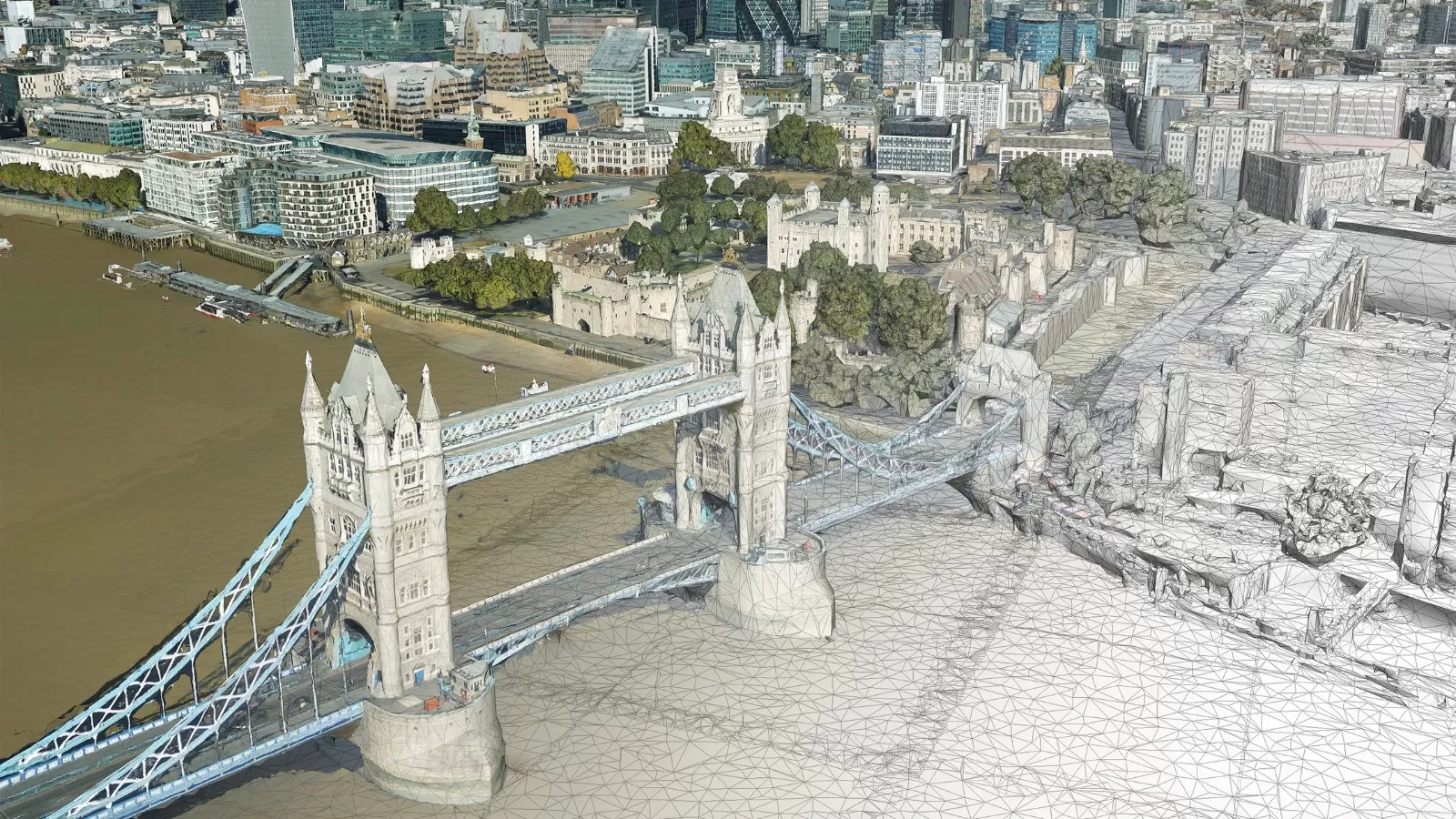
Created from high resolution aerial photography, terrain and surface height data and Colour Infrared imagery the National Tree Map accurately records the location, height and canopy for every tree in the UK over 3 metres in height.
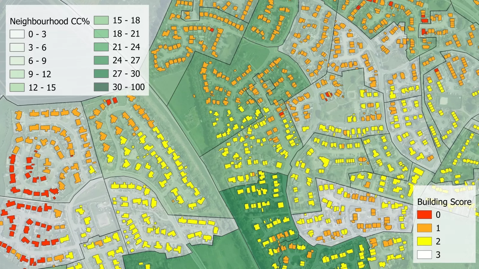
“According to the latest government report, produced using Bluesky’s National Tree Map data, there is around three percent of additional tree cover outside of existing mapped woodlands,” commented Bangor University Researcher Theresa Bodner. “In a country where we only have around thirteen percent total woodland cover to begin with, that is 750,000 hectares of extra tree cover that can be used to achieve climate change targets. This is an obviously valuable resource and one we know very little about.
“Using a study site close to Snowdonia National Park we can explore where trees outside woodlands are located, on what type of land do they grow and their potential role in meeting our woodland targets,” Bodner continued. “The Bluesky National Tree Map data is the centrepiece of this research as it is the closest resource we have for understanding the natural colonisation of trees in Britain’s landscape.”
Using QGIS geographic information system, researchers at Bangor University will compare the National Tree Map data with other, publicly available, maps. Combined with interviews from stakeholders this will provide an understanding of where non-woodland trees are and how they relate to proposed woodland opportunities, such as the Glastir land management scheme in Wales.
Bluesky’s National Tree Map is created using innovative algorithms and image processing techniques in combination with the most up to date and detailed aerial photography. In addition to the three vector map layers; Crown Polygons, Idealised Crowns and Height Points, the Bluesky National Tree Map also includes an attribute table including unique identification for each crown feature, height attributes and area calculations.
The data is available in a range of GIS ready formats on Bluesky’s online Mapshop alongside the most up to date aerial photography, accurate height data and 3D building models. (https://www.blueskymapshop.com)