GeoStream
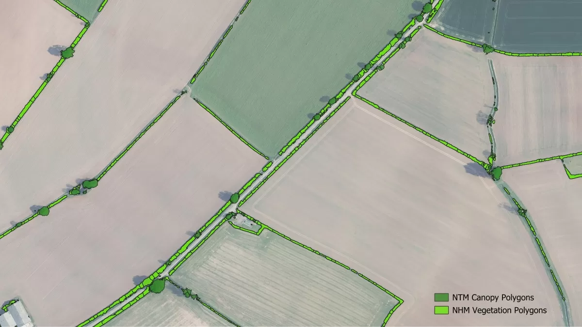
GeoStream is a service offering unlimited access to Bluesky’s mapping data. The service includes access to Bluesky’s Great Britain and Ireland high resolution aerial imagery, the unique National Tree Map, DSM, DTM and our MetroVista oblique imagery of urban areas.
- Flexible payment terms
- Flexible licensing options
- Bespoke options for multi-users
- No specialist GIS software required
- Data hosted by Bluesky
- Direct feed into GIS applications for specialist users
Products available in GeoStream

Aerial Photography
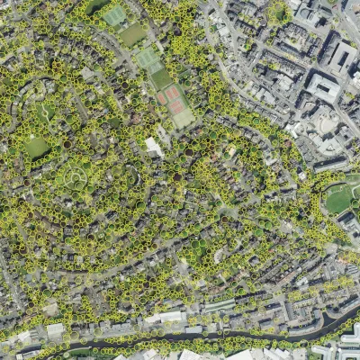
National Tree Map™
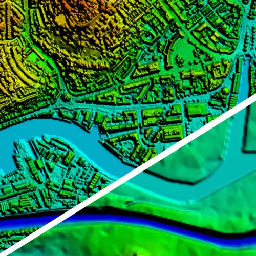
DSM/DTM Height Data

MetroVista™ Obliques
The Benefits of GeoStream versus Google Earth
| Functionality or service | GeoStream | Google Earth |
|---|---|---|
| Provenance of data
Source (consistent source) Date of acquisition (detailed metadata) Camera technology used for capture Calibration certificates available |
All data is owned and controlled by Bluesky
Full standardised metadata available, Gemini 2 compliant Aerial photography has been acquired by large format metric cameras and processed using industry leading software Calibration certificates available on request |
Imagery collected over time from a broad range of suppliers & platforms (source)
Can have little or no date information by data provider so will only show a date range (source) No calibration certificates |
| Consistency
Resolution (higher resolution in many areas) Accuracy (spatially accurate to within at least 50cm) Radiometry |
A base resolution of 12.5cm with many areas at 5cm
Spatially accurate, +/- 50cm RMSE minimum Sympathetically colour balanced for a seamless product for data acquired in the same year |
Imagery resolution ranges from 15 meters to 15 centimeters (source) |
| Local projection systems which negate distortions and inaccuracies caused by global systems | GB or Irish projection systems for ease of data integration and accurate location | Global projection system can cause distortions and inaccuracies |
| Guaranteed updates | GeoStream products updated on a three-year rolling programme with some urban areas more frequently |
Fairly regularly updated but no documented commitment to update |
| Access to other products | GeoStream gives you access to a wide range of geospatial data products from Bluesky, including:
|
Availability of other products is patchy |
| Additional functionality | GeoStream Viewer – An always expanding range of analytics tools that help users derive maximum benefit | Limited availability |
| Service Level Agreement | SLA with guaranteed up time | No SLA |
| Customer support | Dedicated account manager on-hand to support during business hours | No dedicated customer support |
GeoStream has two options available:
| GeoStream Viewer (for everyone) |
|---|
| Unlimited national data access hosted by Bluesky via web based service with no specialist GIS software required |
| One user licence Aerial Photography (AP) £100/month – AP & National Tree Map £150/month |
| Corporate licence Aerial Photography £200/month or AP & National Tree Map £300/month |
| GeoStream Direct (for users requiring data served into their own application) |
|---|
| Unlimited data access (subject to a fair use policy) starting from just £300 a month |
| Streamed direct into your GIS software |
| Tailored package for GIS professionals |
Here’s what our customers say about GeoStream…
“At RCI, we provide support to a range of clients including Chartered Building Surveyors and Chartered Fire Engineers and we use Geostream daily. “It’s one of many research tools we utilise when carrying out building surveys.
“Geostream gives us access to high-quality data at an instant and the hi-resolution aerial and oblique photography are used to assist us from day one of our projects as part of our familiarisation information on buildings at the start of PAS9980 process.
“RCI cover the entirety of the UK and utilise Geostream in combination with our in-house survey records, which spans years and include survey data that has been provided to us by a number of our clients such as Brooker Diamon Chartered Fire Engineers”
“Together this gives us an extraordinary and unique data set which greatly benefits our clients.”
Tom Diamond
RCI Technical Services
Get started with a 7-day free trial
Simply fill in your details on the form below and we will get you up and running (please note it may take up to two business days to get your trial to start).


