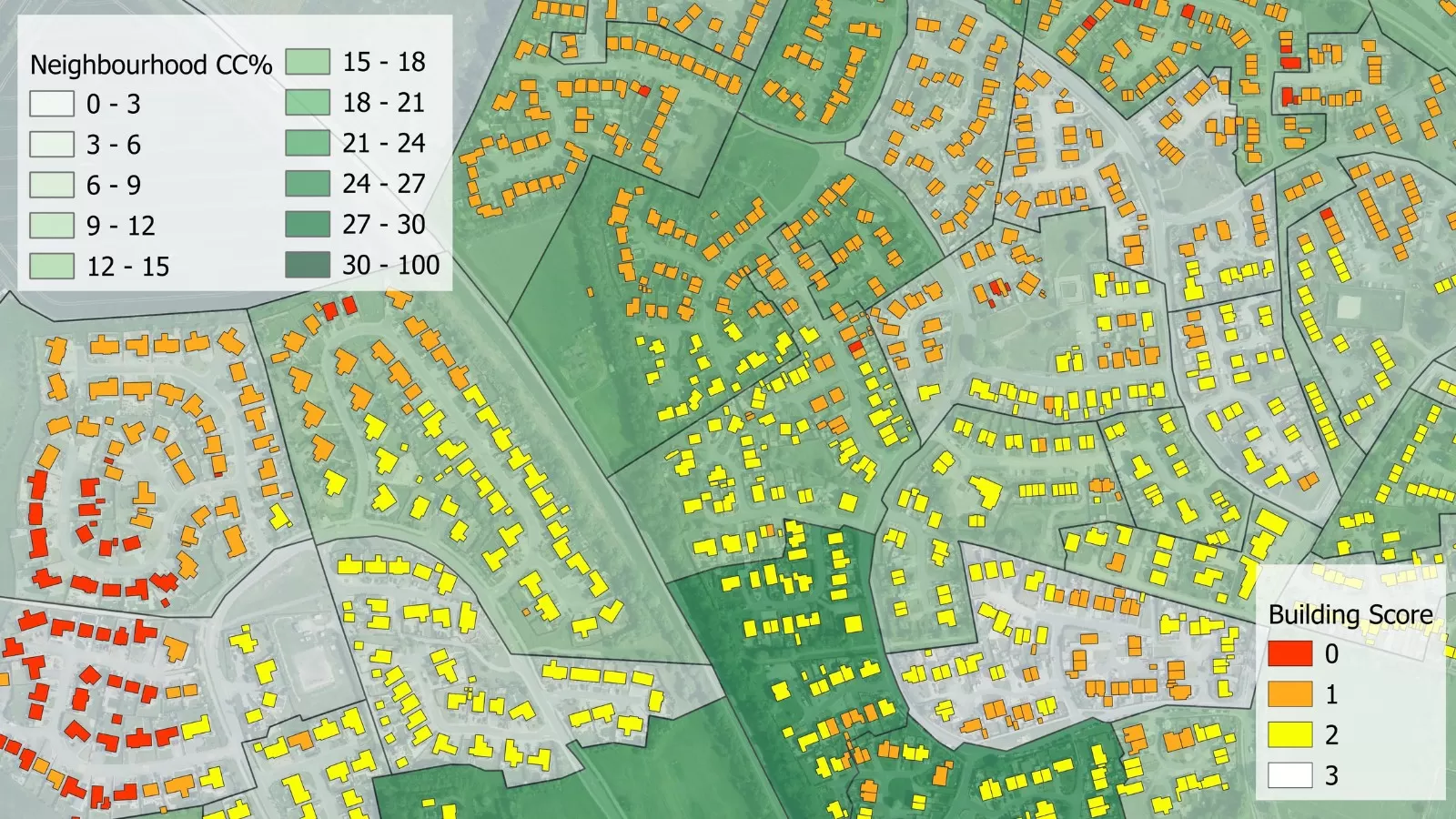
The first online natural capital mapping tool in the UK – NatCap Map – is using data from Bluesky’s National Tree Map™. Developed by Natural Capital Research, the tool allows users such as National Parks, utility companies, charities and private landowners, to download a report detailing what natural capital (assets) they currently have, together with an account of the different ecosystem services provided by those assets. Over time, changes in the quantity and quality of natural capital assets and services can be monitored providing management relevant evidence for shareholders, stakeholders, government and environmental groups.
Natural capital can be simply described as the aspects of nature (e.g., species, habitats, communities, soils etc.) that provide key ecosystem services underpinning important public goods or benefits. Examples of ecosystem services include food and clean water, carbon sequestration and climate regulation, flood risk reduction and crop pollination.
“As with financial capital, natural capital becomes an issue if we consume or spend too much of the asset. We effectively create a debt which needs to be repaid,” commented Dr Abigail Barker, Chief Operating Officer of Natural Capital Research. “At a time when the agricultural sector is going through the biggest changes in subsidies since the 1970s, landowners need new tools to identify and measure a baseline for their natural capital. They will also need evidence of environmental improvement and enhancement to continue to claim subsidies and grants.
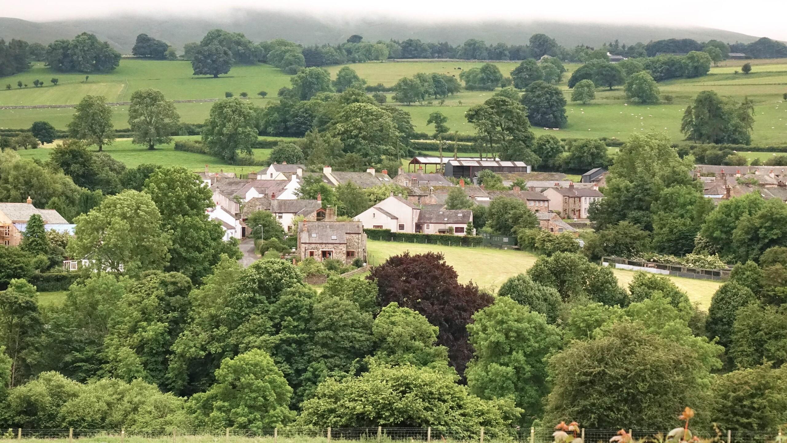
“Trees make an essential contribution to natural capital not only for carbon storage and carbon sequestration but also for supporting biodiversity and a range of other services,” she continued. “The Bluesky National Tree Map™ is the best available product for locating and measuring the potential of this asset type so its inclusion within NatCap Map gives us increased confidence in the accuracy and currency of the modelling outputs we produce.”
Natural Capital Research was established in 2018 by Professor Sir Dieter Helm and Professor Kathy Willis, both recognised thought leaders in the natural capital space and advisors to the UK Government via the UK’s Natural Capital Committee. In March 2021 Natural Capital Research released NatCap Map leveraging world leading science, modelling and data. NatCap Map allows a user to quickly download a baseline report of the natural capital assets and the ecosystem services provided by those assets, and report improvement over time at a fine spatial resolution.
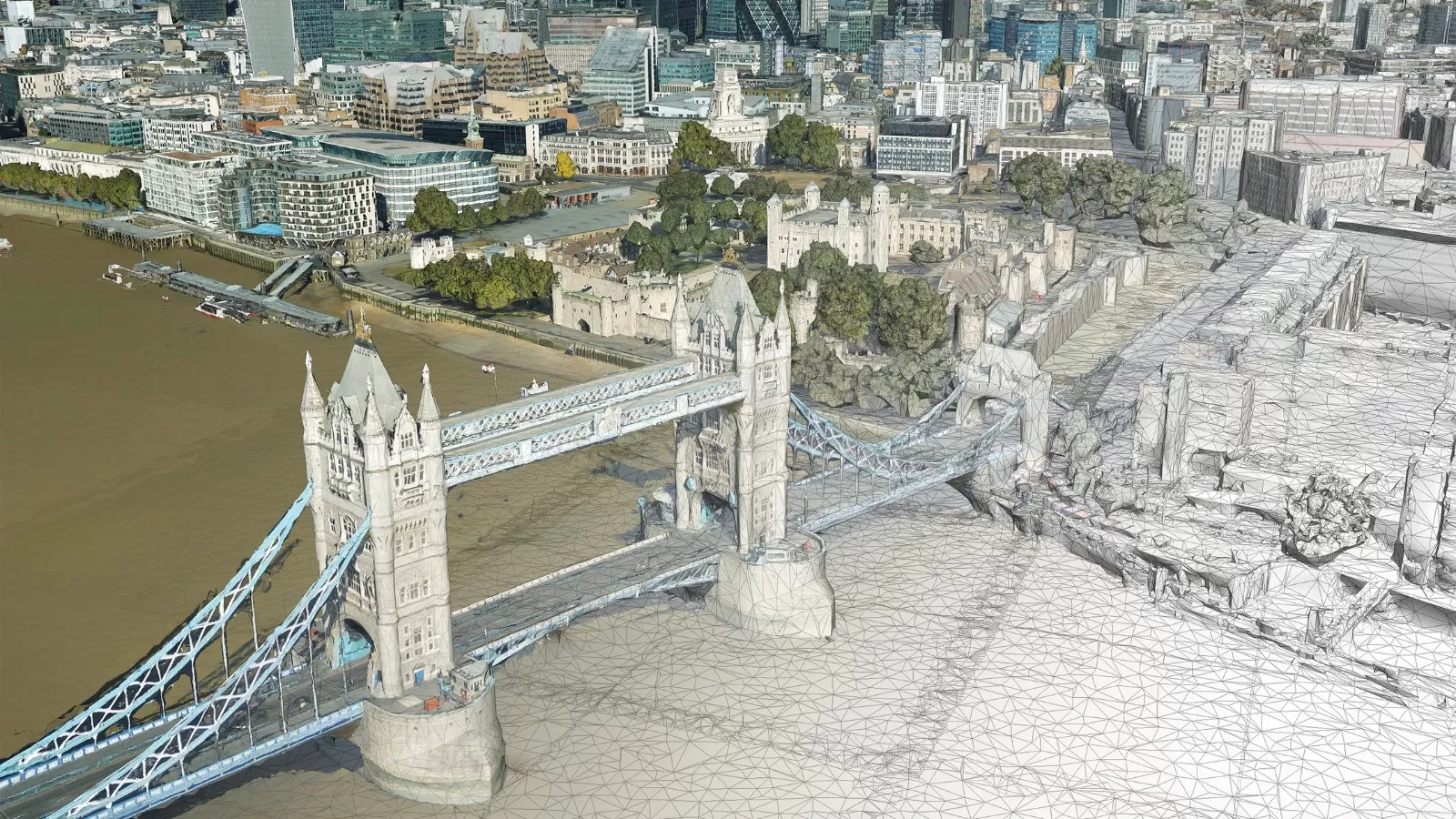
Derived from high-resolution aerial photography and height data, the Bluesky National Tree Map™ accurately records the location, height and crown spread for trees over 3 metres in height and is currently available for the whole of England, Wales, Scotland and the Republic of Ireland.