Bluesky International, the UK’s leading aerial mapping company, is preparing for the start of the 2022 flying season. Following a productive 2021 season across the United Kingdom and Republic of Ireland, the Bluesky team is now focussing on ensuring 2022 is also a success. Target capture for 2022 includes the update of many important cities such as London, Manchester, Birmingham, Aberdeen and Cardiff, as well as many larger county areas including Dumfries and Galloway, Essex, Lancashire and Powys.
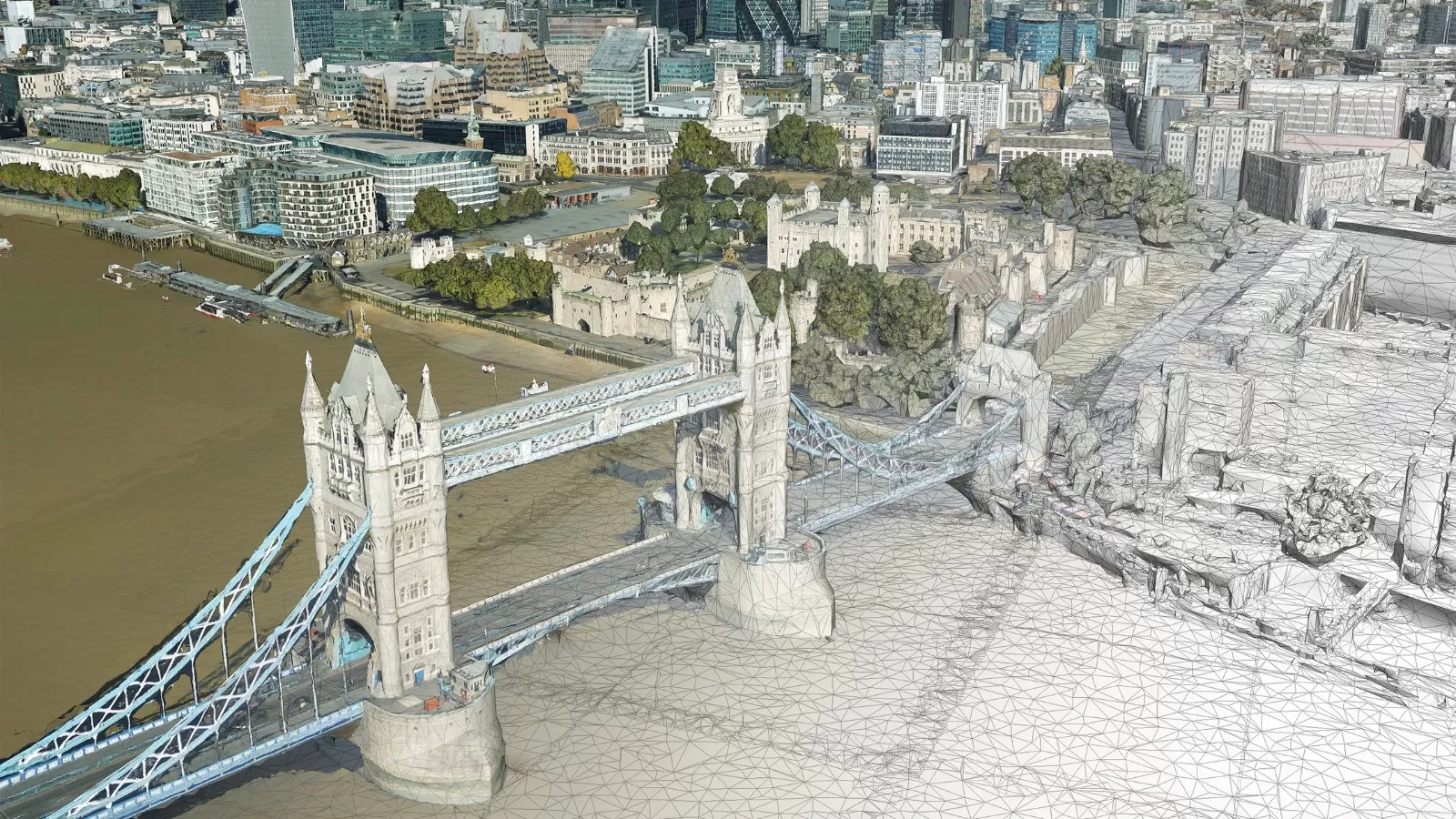
Bluesky will also be deploying its state-of-the-art CityMapper sensors, which simultaneously capture detailed height measurements (LiDAR) as well as vertical and oblique images, completing bespoke projects for national and international insurance, utility and blue-chip organisations.
“2021 was a good year for Bluesky and, with several exciting projects to be completed this year as well as our ongoing national update programmes, 2022 is looking like it will be an exciting year too,” commented Rachel Tidmarsh, Managing Director of Leicestershire-based Bluesky International. “We deliver high quality geospatial products to an ever-increasing range of customers for a variety of incredible applications which each year continue to inspire the Bluesky team with its innovative work to continually improve products and develop new ones.”
Bluesky is the only commercial aerial mapping company to have full coverage of high-resolution imagery and height data of the Republic of Ireland, England, Scotland and Wales, which it maintains on a rolling three-year cycle.
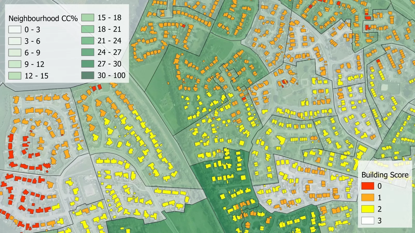
These datasets underpin a contract with the Geospatial Commission which makes geographic information, including the aerial photography and height data, free at the point of use for all public sector bodies in Great Britain. Covering more than 10,000 organisations, the APGB contract has recently been extended and will see the continued deployment of data for vital applications such as monitoring climate change, responding to extreme weather events, managing biodiversity loss, addressing the erosion of social cohesion and tackling livelihood crises.
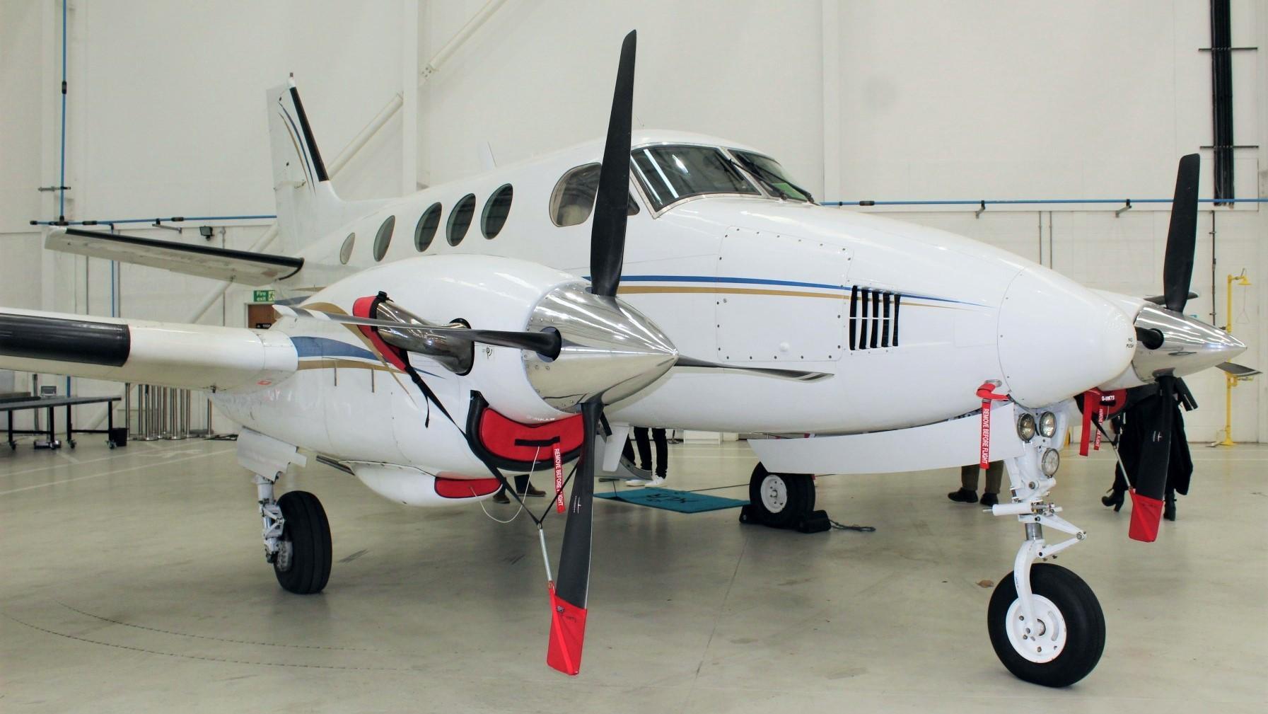
Since its inception in 2003, Bluesky has invested millions of pounds in the most technologically advanced aerial mapping equipment, in flying and updating national aerial photography and height datasets as well as creating and maintaining the National Tree Map. It recently moved its flying operation to the XLR Jet Centre at Birmingham Airport and now also has a base at the internationally pioneering Space Park Leicester.