A new geospatial data subscription service has been launched by aerial survey and mapping company Bluesky designed to ensure customers can access data they need, when they need it, without limits. GeoStream officially launches this week and is ready to welcome new users. Geospatial data and technology are being adopted by a broad range of companies and are being increasingly applied and relied upon to support with planning, assessment and monitoring for a variety of projects.
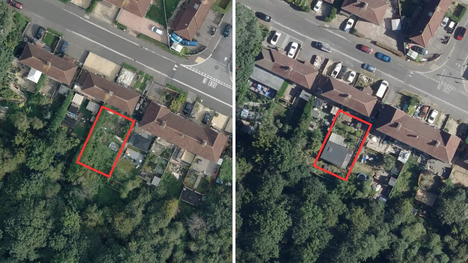
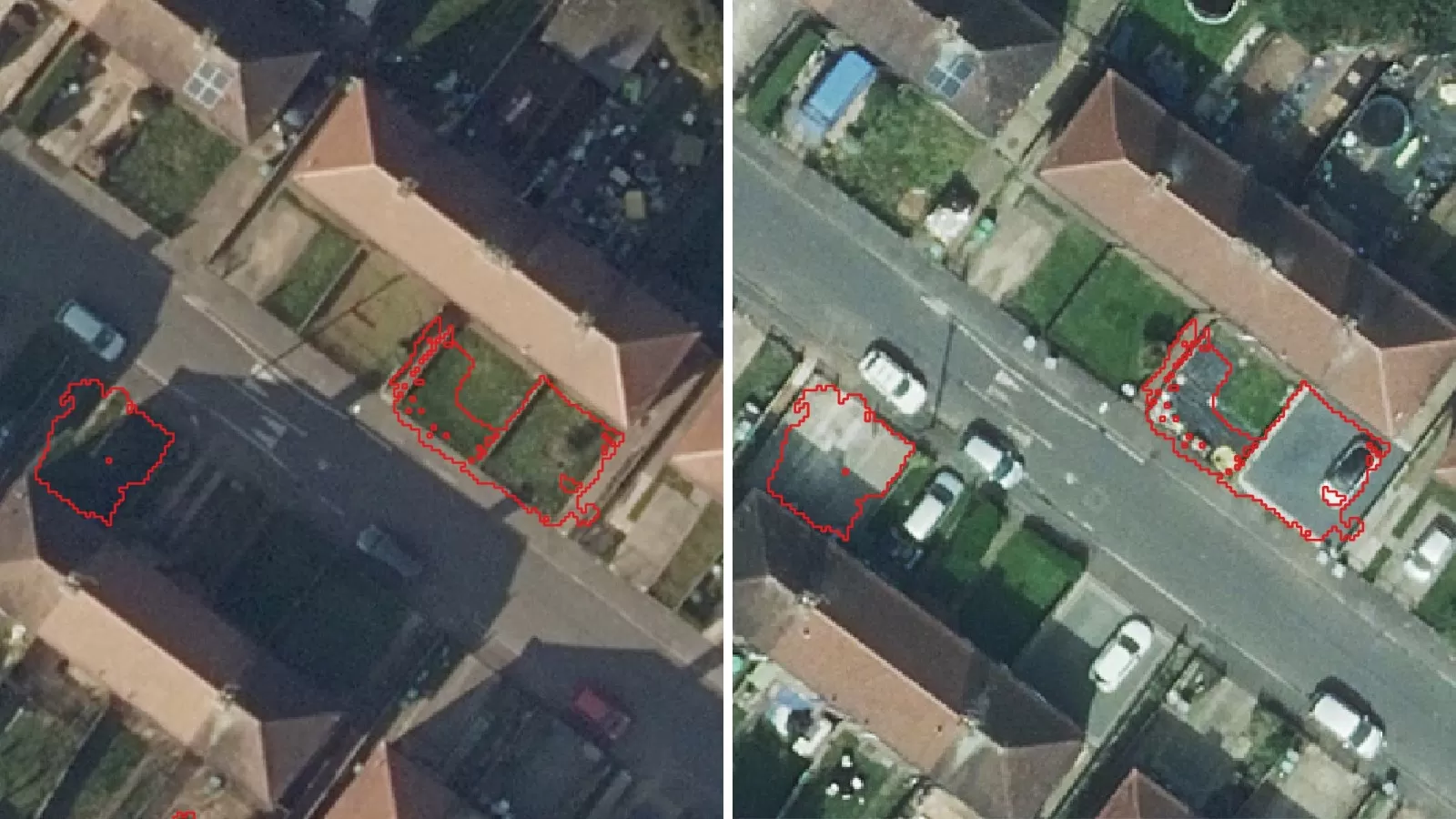
Once signed up, the service will enable unlimited and rapid access to Bluesky’s extensive product range including vertical and oblique aerial photography, the unique National Tree Map (NTM) and market leading terrain products. GeoStream operates as a simple subscription service that will remove the need for users to revisit a traditional eCommerce platform multiple times or to host large volumes of data themselves.
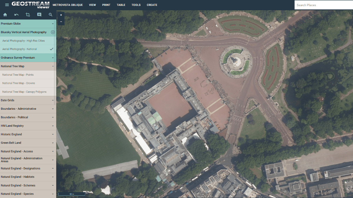
GeoStream is available in two versions: GeoStream Viewer and GeoStream Direct. GeoStream Viewer is an intuitive browser-based application meaning no specialist GIS software is required. GeoStream Direct uses Bluesky’s existing hosted Web Services expanding the accessibility for a much broader range of users within their own software environments.
Ralph Coleman, Chief Commercial Officer at Bluesky, explains that the company is responding to the needs of its customers. “Flexible subscription services for software or SaaS are now superseding more traditional methods of licensing, and the same transition is now occurring for data,” he says. “Times are changing, and users are now embracing consumption models that provide ultimate flexibility over their data use. Technology has facilitated this shift in mindset, and the geospatial industry must ride the wave. Having a monthly or annual fixed cost to get access to premium national datasets is a game changer and will open the flood gates for wholesale adoption of data that was considered niche only a few years ago.”
Tom Diamond, Lead Technician from RCI Technical Services, is one of the early adopters of GeoStream. He says: “At RCI, we provide support to a range of clients including Chartered Building Surveyors and Chartered Fire Engineers and we use GeoStream daily. It’s one of many research tools we utilise when carrying out building surveys.
“GeoStream gives us access to high-quality data at an instant and the hi-resolution aerial and oblique photography are used to assist us from day one of our projects as part of our familiarisation information on buildings at the start of PAS9980 process” (a five-step risk assessment process).
“RCI cover the entirety of the UK and we use GeoStream in combination with our in-house survey records, which span years and include survey data that has been provided to us by several clients, such as Brooker Diamond Chartered Fire Engineers. Together this gives us an extraordinary and unique dataset which greatly benefits our clients.”
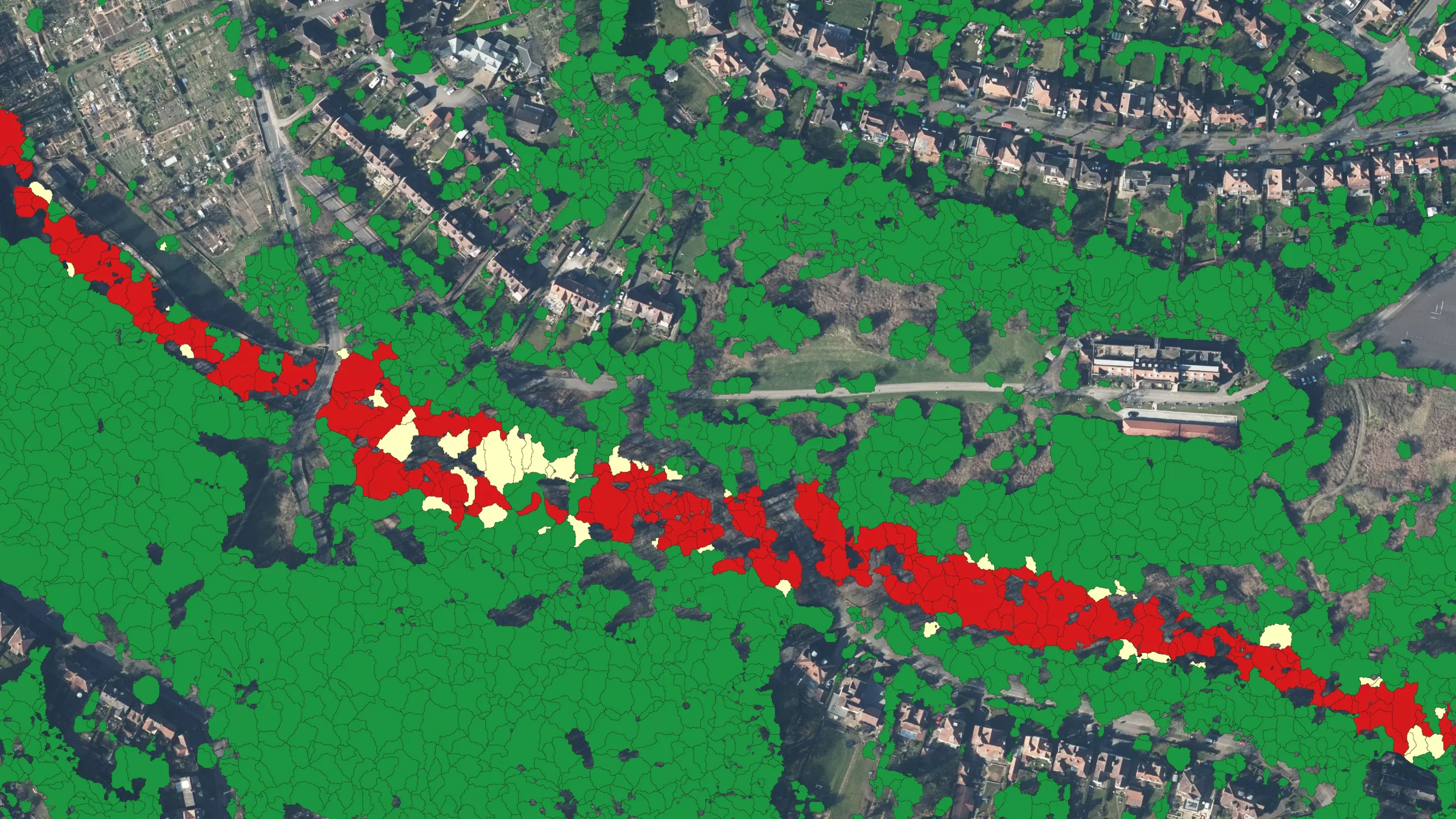
The GeoStream services will appeal to GIS professionals and occasional or casual users alike. Both versions of the service include access to national aerial photography and the unique National Tree Map, which provides height, location and canopy cover data for trees 3 metres and taller in Great Britain and the Republic of Ireland. In addition, users can also access ultra-high resolution city imagery, both vertical and oblique as well as other key datasets through the service, including Ordnance Survey mapping.
Ralph added: “Bluesky is the only aerial surveying and mapping company in the UK with full coverage of Great Britain and Republic of Ireland, updated on a three-year rolling programme. Couple this with the launch of GeoStream and we are uniquely placed to deliver a market leading service that will satisfy the requirements of all users.”
You can find out more or sign up to GeoStream at: https://bluesky-world.com/geostream/


