


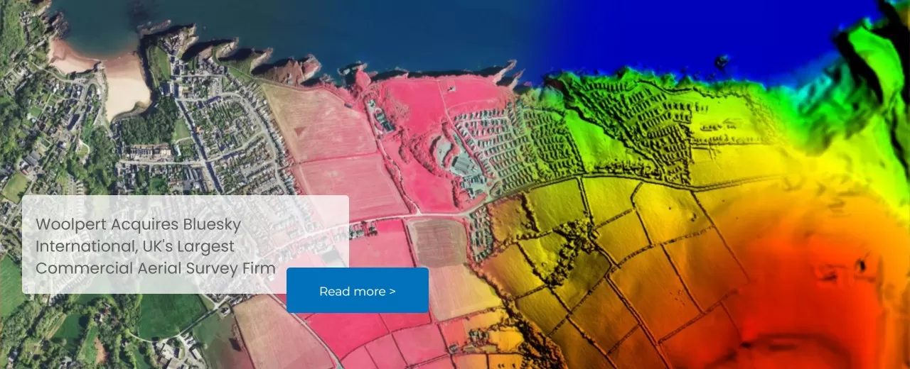


Leaders in Geospatial Data
Bluesky International, a Woolpert company, is a leading aerial survey and geographic data company, producing and maintaining high quality, accurate digital aerial photography and height data on a national scale in both Great Britain and the Republic of Ireland.
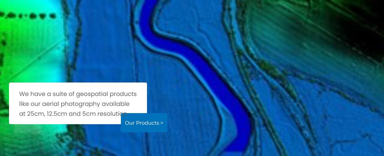
We have a full range of geospatial data products and also offer bespoke or tailored data capture solutions.
Get in touch today to find out more.
Visit The Mapshop to Access our world of data
Our online Mapshop gives you immediate access to a diverse range of geospatial data ranging from Aerial Photography, LiDAR, Terrain data, National Tree Map™, and OS mapping.
Quick search: Enter area of interest
(postcode, town/city, coordinates or OS reference)


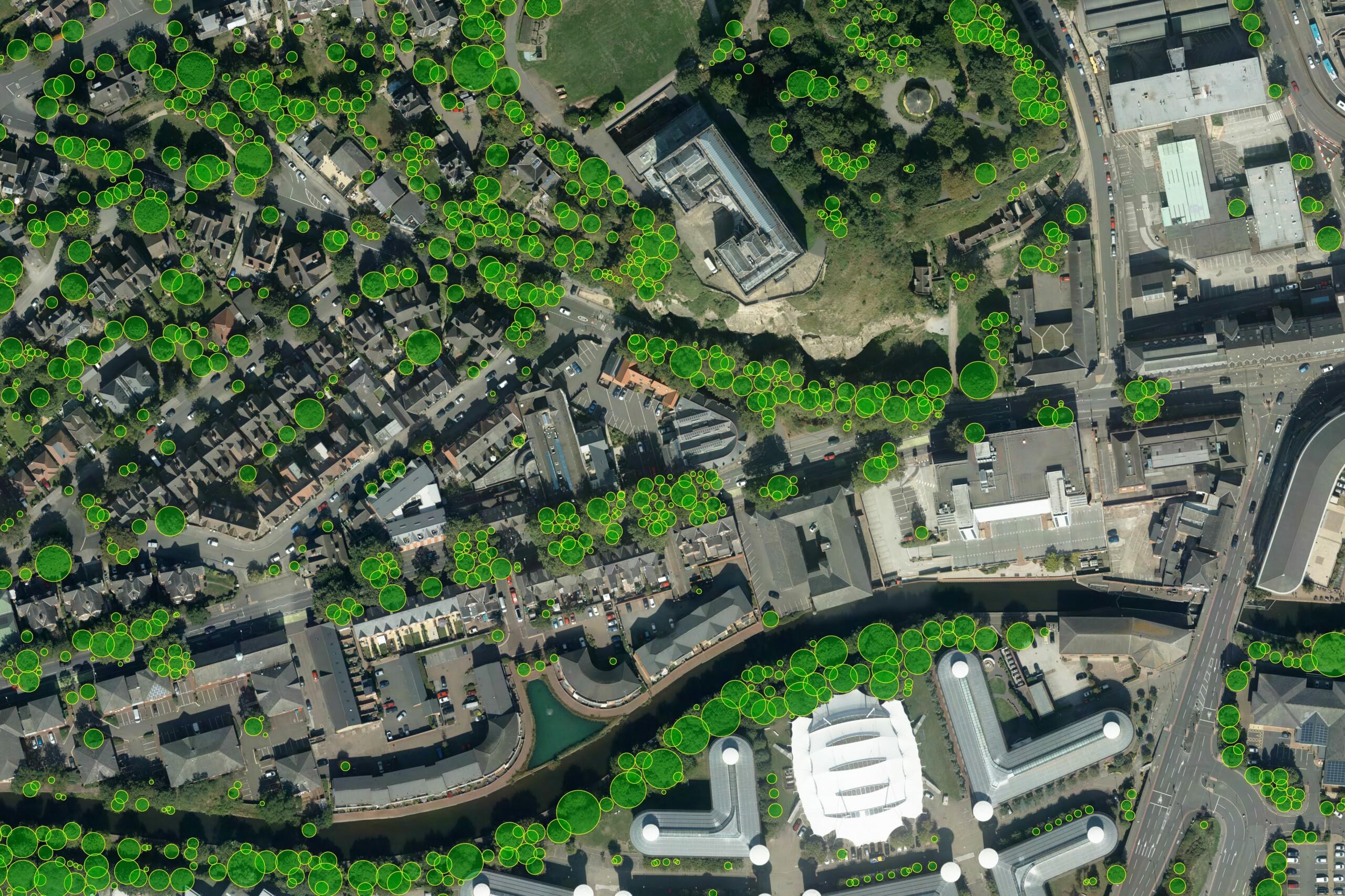
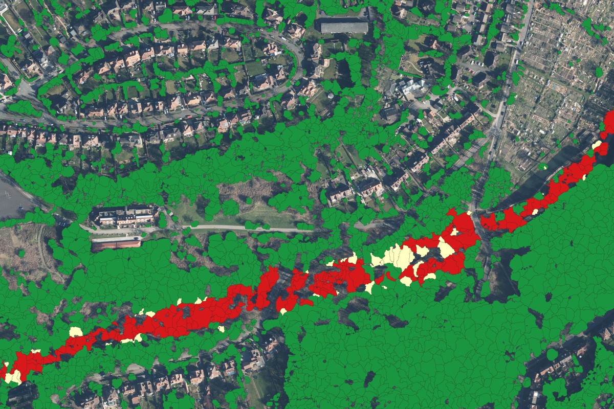
National Tree Map™
Our National Tree Map™ is a unique dataset that maps the height, location and tree canopy of trees 3 metres and over in England, Wales, Scotland and the Republic of Ireland.
NTM+™
NTM+™ offers users richer, more contextual and current tree intelligence than ever before. It analyses the surrounding landscapes and features of each tree.
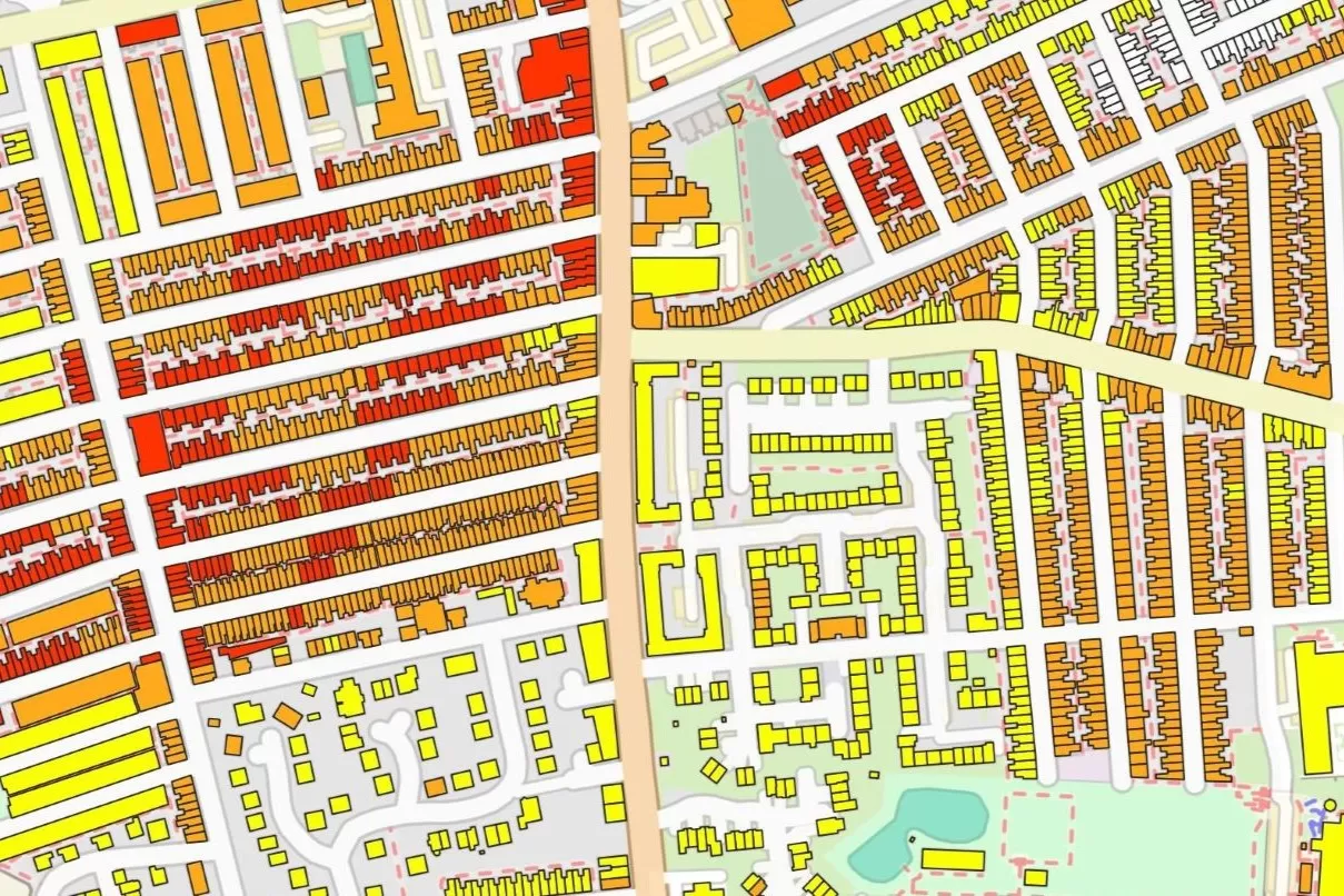
NTM Risk™
NTM Risk™ has been created specifically for sectors like insurance and local authorities, the dataset provides intelligence on how trees interact with people, property, and infrastructure, offering a clear view of potential hazards and risks.

National Hedgerow Map™
Our National Hedgerow Map™ is a unique dataset that maps the location, extent and volume of hedgerows under 3 metres in England, Wales, Scotland and the Republic of Ireland.
3+30+300 Analysis Tool
An add-on to our National Tree Map™, the 3+30+300 Analysis Tool can be used for urban planning for green infrastructure and green spaces.

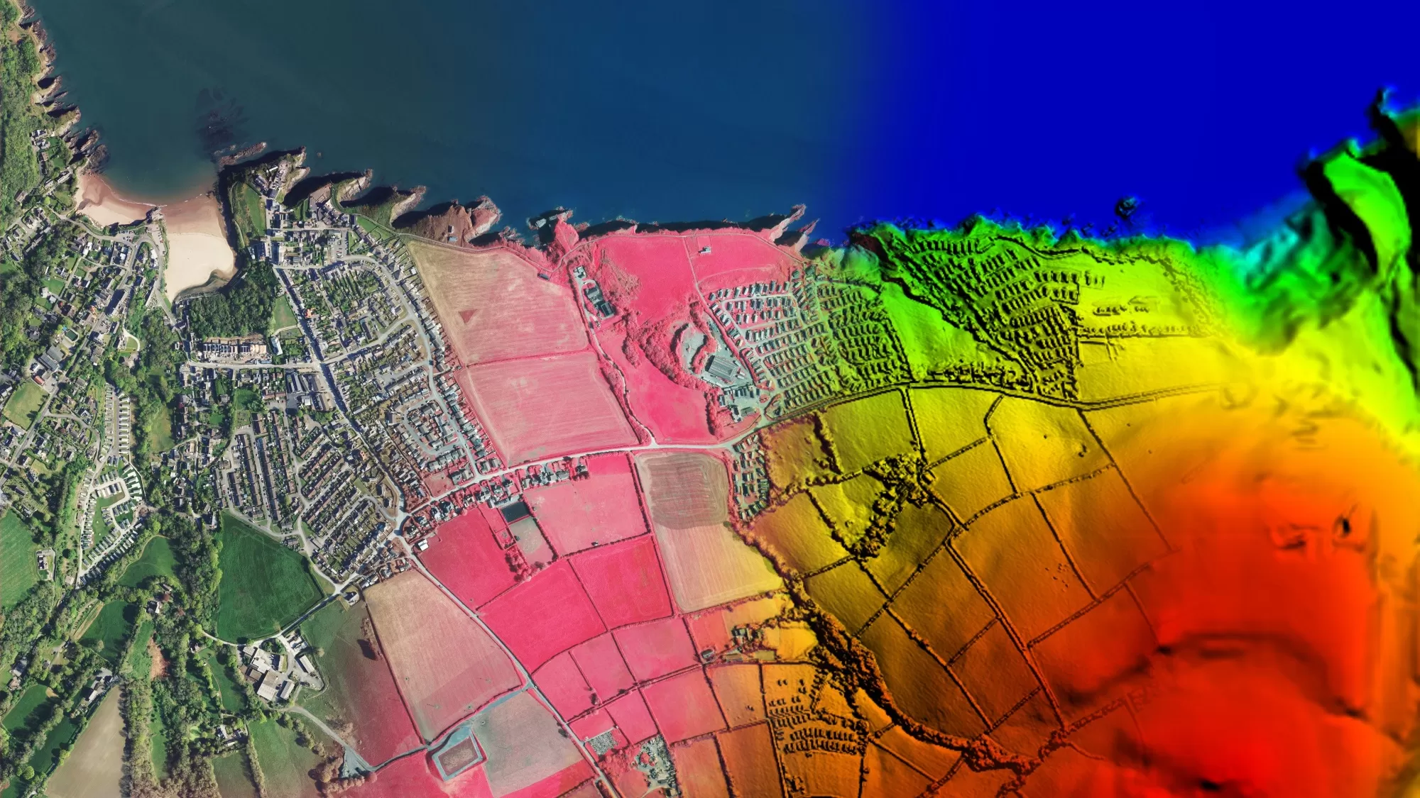
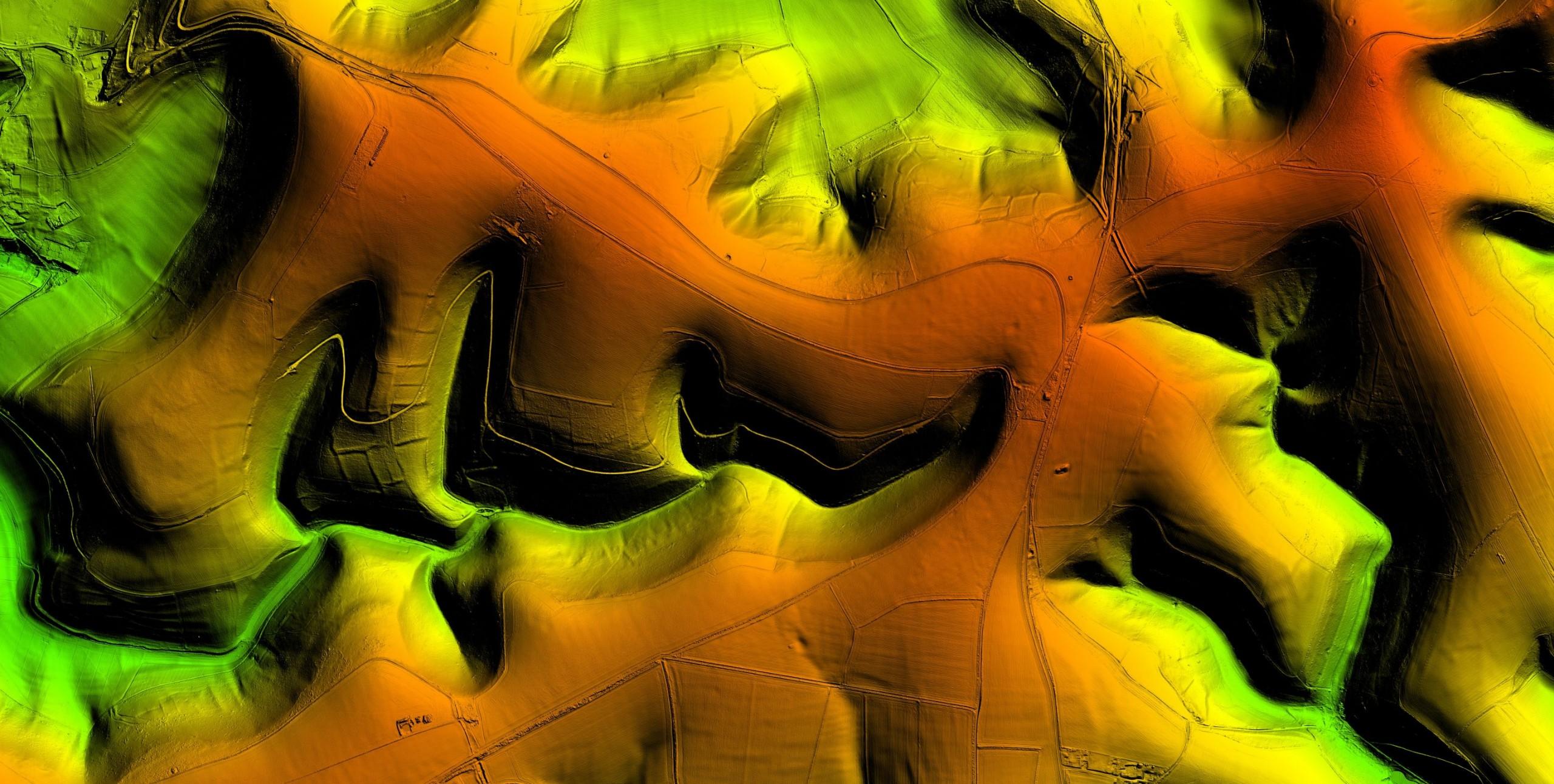
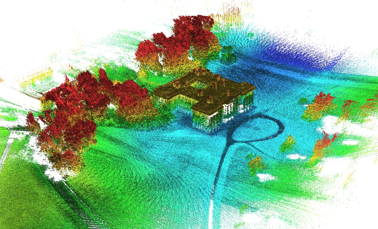
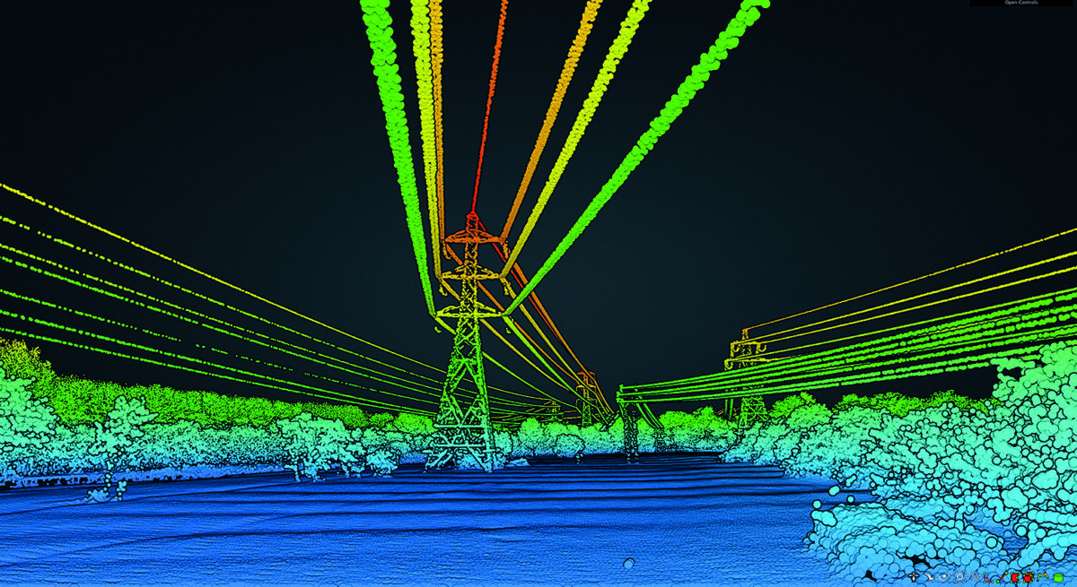
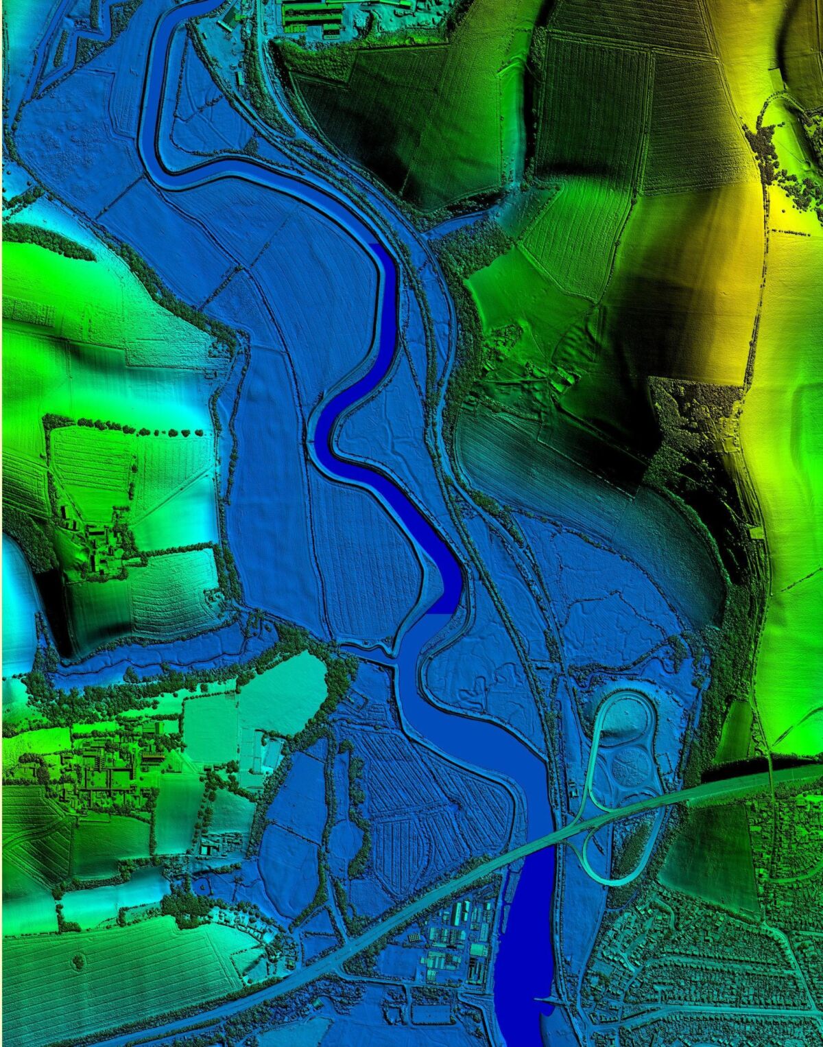
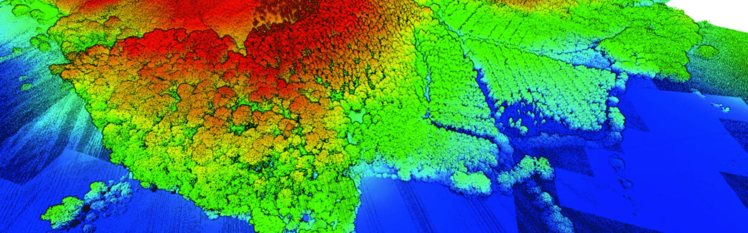
LiDAR
We accurately capture detailed and accurate terrain information including the height of both the terrain and any above ground features, such as trees and buildings. The resolution is unparalleled by other airborne methods.

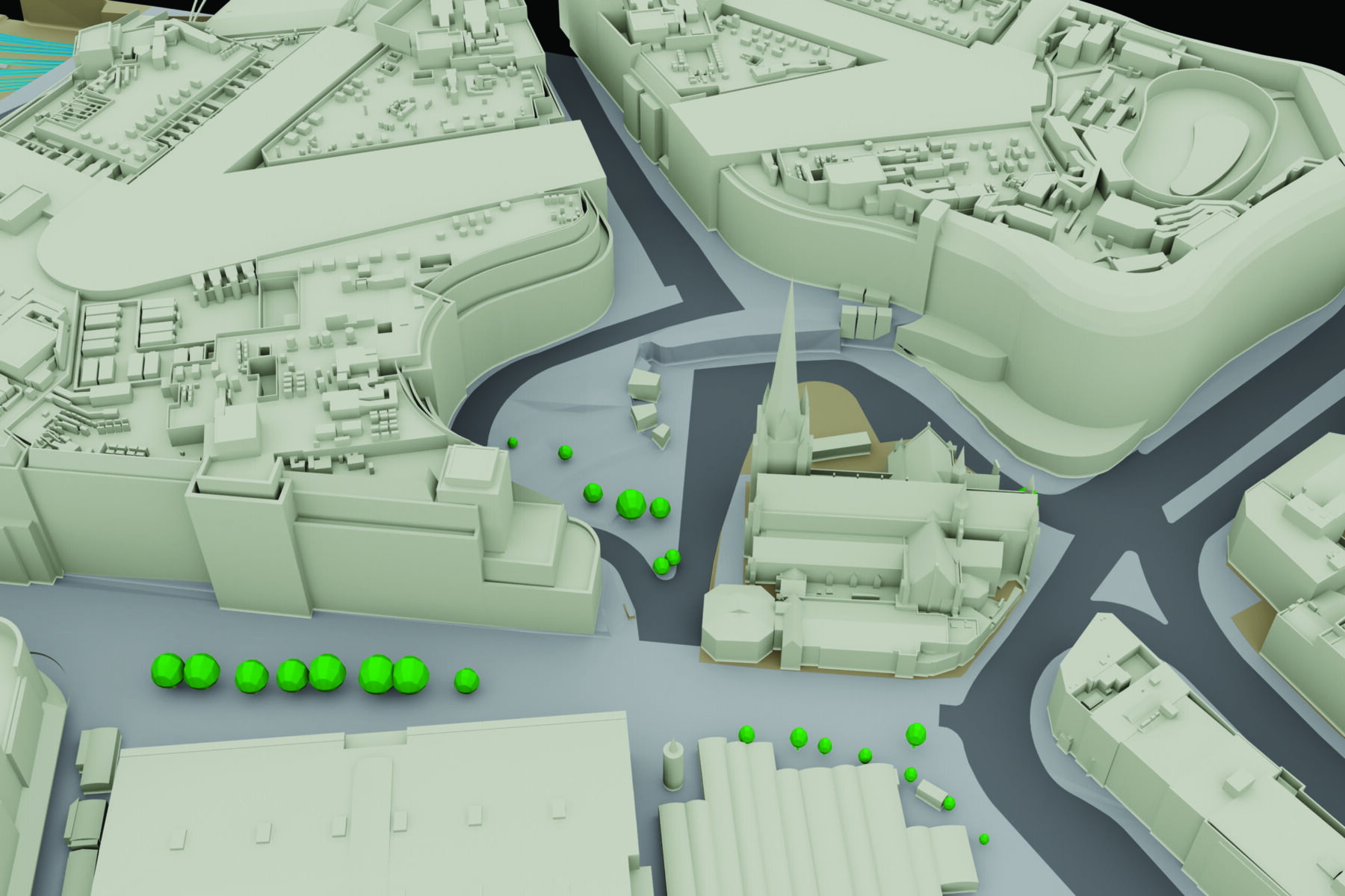
MetroVista™ Mesh Models
We have captured 20 UK cities to create intricate 3D mesh models which are an ideal baseline for a number of applications, including the creation of digital twin datasets.

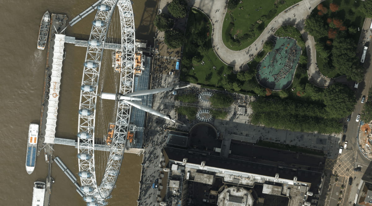
Aerial Photography
We have a full library of aerial imagery of Great Britain and the Republic of Ireland at high resolution including many areas mapped at 5cm.

Subscription Service
Our GeoStream subscription service offers customers the opportunity to access unlimited data via a straightforward subscription.
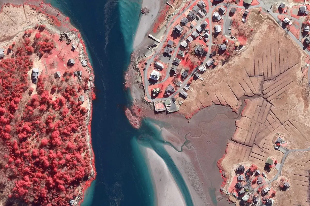
Colour Infrared
Colour Infrared photography (CIR) offers a unique tool to assist with the assessment of the health and state of vegetation.

3D Building Models
Our collection of high resolution stereo aerial photography places us in the ideal place to provide cost-effective, accurate and detailed 3D models.

Photogrammetric DTM
Digital Terrain Models are available as a grid of heighted points and contours at 5m intervals.


Why choose Bluesky?
We have invested in the best data capture technology to ensure our products are accurate and high quality. In addition our experienced team are committed to delivering the best customer service, from your initial point of contact through to delivery of data and beyond.
A lot of our data is available off-the-shelf but we also work closely with clients to provide bespoke surveys and data tailored to specific requirements.
We have over 20 years of experience and work closely with the private and public sectors.


