


Clutter Map
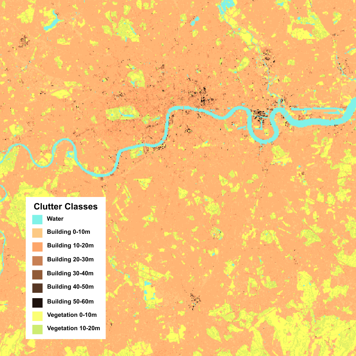
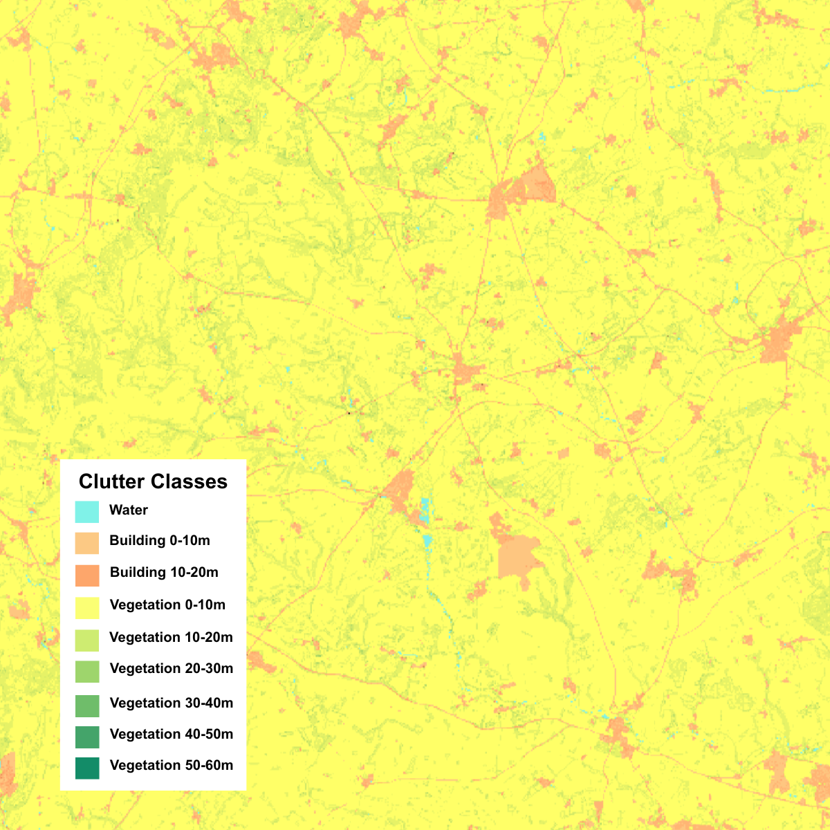
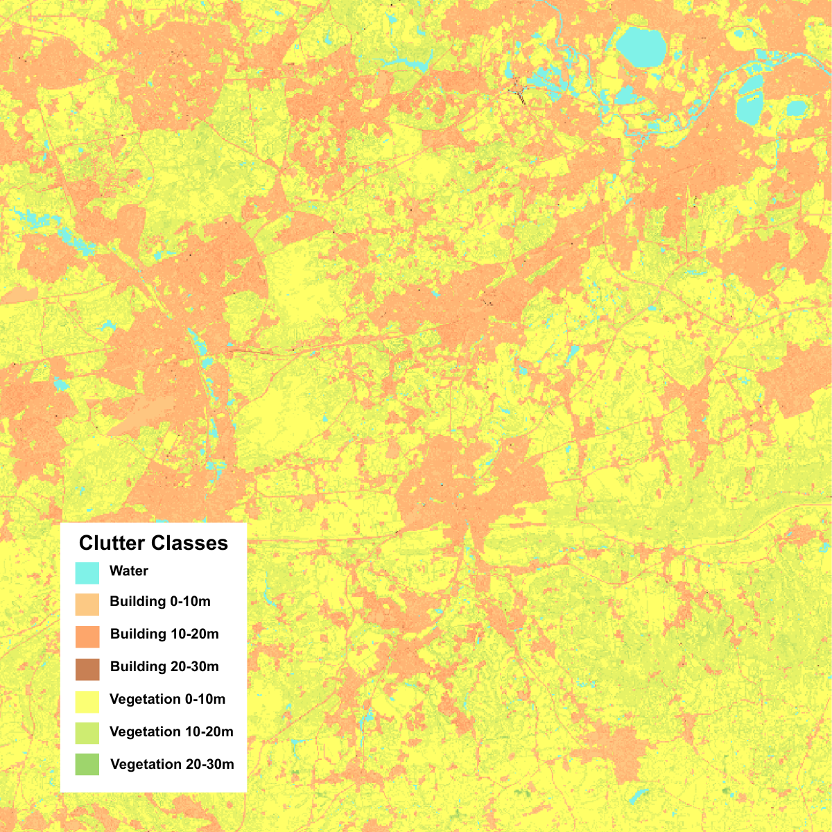
Bluesky’s Great Britain-wide 50m Clutter Map delivers consistent 2.5D surface intelligence to support telecommunications network planning, signal modelling and rollout optimisation.
Built for organisations planning fixed wireless, mobile and private network infrastructure, the Clutter Map helps network teams understand how buildings, vegetation and water features may affect signal behaviour before committing resources to detailed design or field validation.
Designed specifically for radio-frequency (RF) modelling, the 50m Clutter Map provides a consistent, Great Britain-wide view of the physical environment. It supports coverage prediction, line-of-sight analysis and network planning at scale by giving planners a reliable surface intelligence layer derived from contemporary geospatial datasets.
The dataset classifies the landscape into built, vegetation and water categories, with additional height bands for buildings and vegetation. This helps represent the vertical characteristics of surface features that can influence radio signal propagation, giving planners a consistent national baseline for modelling and analysis.
Developed using Bluesky’s high-resolution elevation models, Bluesky vegetation intelligence, and authoritative third-party building data, these inputs are harmonised through a consistent modelling framework to create a seamless, nationwide surface classification optimised for RF analysis.
Key benefits for telecom operators include:
- Improved RF modelling through consistent, nationwide surface classification
- Better coverage prediction using representative height and land cover characteristics
- More effective planning for 5G and high-frequency networks, where surface clutter significantly impacts performance
- Reduced reliance on early-stage site surveys through a robust baseline dataset
- Enhanced support for line-of-sight and backhaul planning at regional and national scales
Specification
-
50m pixel resolution
- 3 classes – buildings, vegetation, water
-
Multiple sub-classes by height in 5m bandings for buildings and vegetation
-
Derived from Bluesky height and vegetation data, with third-party building data
Applications
-
RF Modelling
-
Coverage Prediction
-
5G Network Planning
-
Line-of-Sight Analysis
-
Backhaul Planning
Benefits
-
Great Britain-wide coverage
- Built, vegetation and water classifications
- Representative height bands
- Supports line-of-sight and backhaul planning at regional and national scales
- Based on authoritative building, elevation and vegetation data
-
Optimised for RF modelling and analysis
-
Delivered at 50m pixel resolution for national-scale analysis
Visit The Mapshop To Access our world of data
Our online Mapshop gives you immediate access to a diverse range of geospatial data ranging from Aerial Photography, LiDAR, Terrain, National Tree Map™, Ordnance Survey, Derived Data.
Quick search: Enter area of interest
(postcode, town/city, coordinates or OS reference)

Clutter Maps Examples