


GeoAI Services
From Imagery To Actionable Insights
Transform aerial imagery, height data, and environmental datasets into accurate, AI-powered insights that support faster decisions, targeted action, and more efficient operations.
Bluesky’s GeoAI services help organisations detect change, extract insight, and solve real-world challenges more efficiently. As artificial intelligence transforms the geospatial sector, GeoAI gives teams the tools to move beyond static data delivery and make faster, insight-led decisions.
Explore sample outputs or download the data sheet to see how Bluesky’s GeoAI services can support your next project.
Building on a long-established reputation for high-quality aerial photography, height models, and environmental datasets, Bluesky offers a flexible and scalable suite of GeoAI services to support customers at every stage of AI adoption. Choose an end-to-end service or targeted support at any point in your journey, including:
- Data – market leading national aerial photography and height data
- Labels – AI ready labels and verification from an expert in-house team
- Models – robust bespoke AI models developed to respond to customer needs
- Full Service – an end-to-end GeoAI solution from data to insight
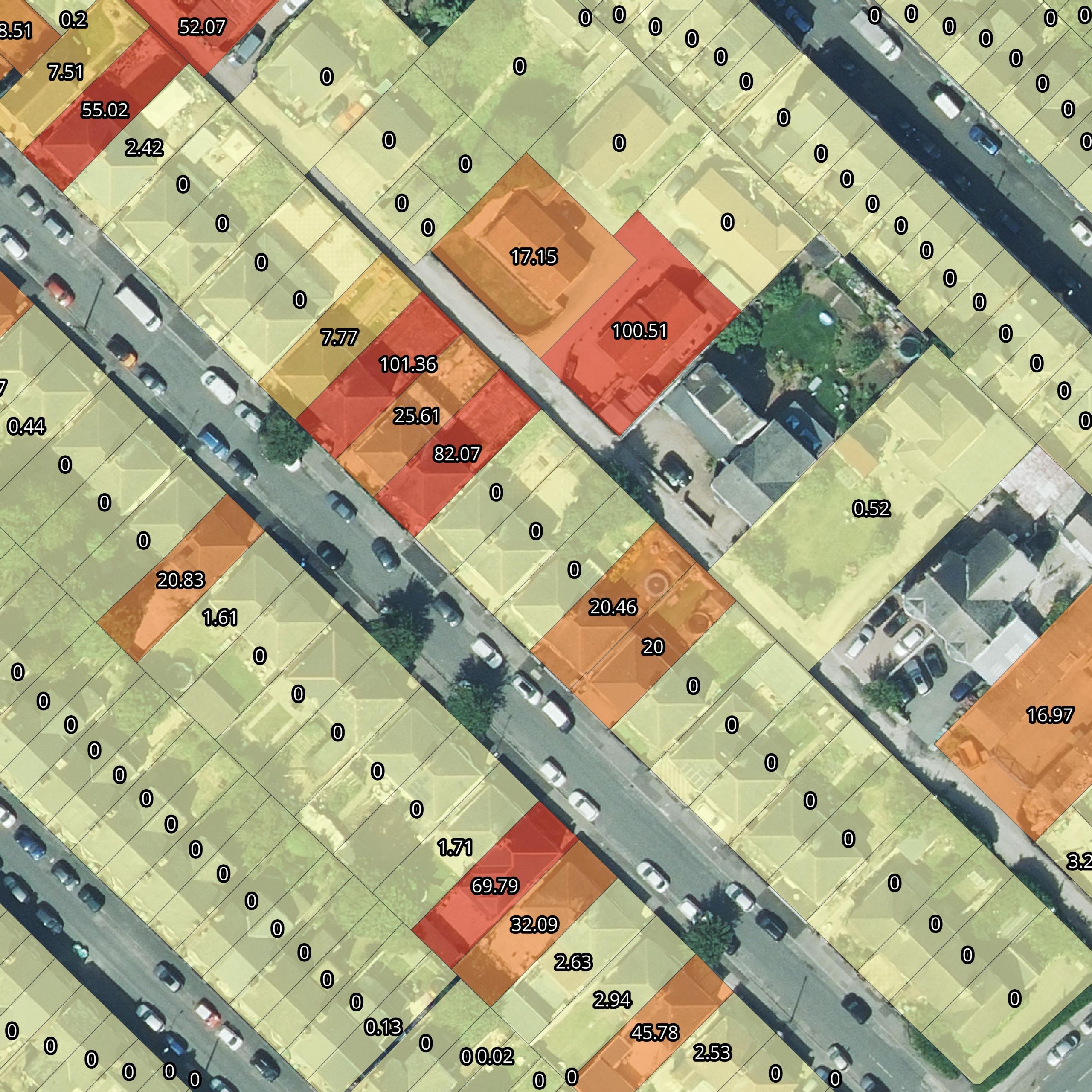
Bluesky’s GeoAI services combine advanced AI techniques with its nationally consistent, high-resolution datasets to automate analysis and deliver measurable outcomes across a wide range of sectors, including infrastructure, environmental monitoring, asset intelligence, and risk analysis.
Unlike generic solutions, Bluesky’s AI services are built on proprietary datasets, ensuring models are trained and validated using up-to-date, high-quality imagery and geospatial information. This approach enables more accurate outputs and gives customers greater confidence when integrating GeoAI into operational workflows.
Applications
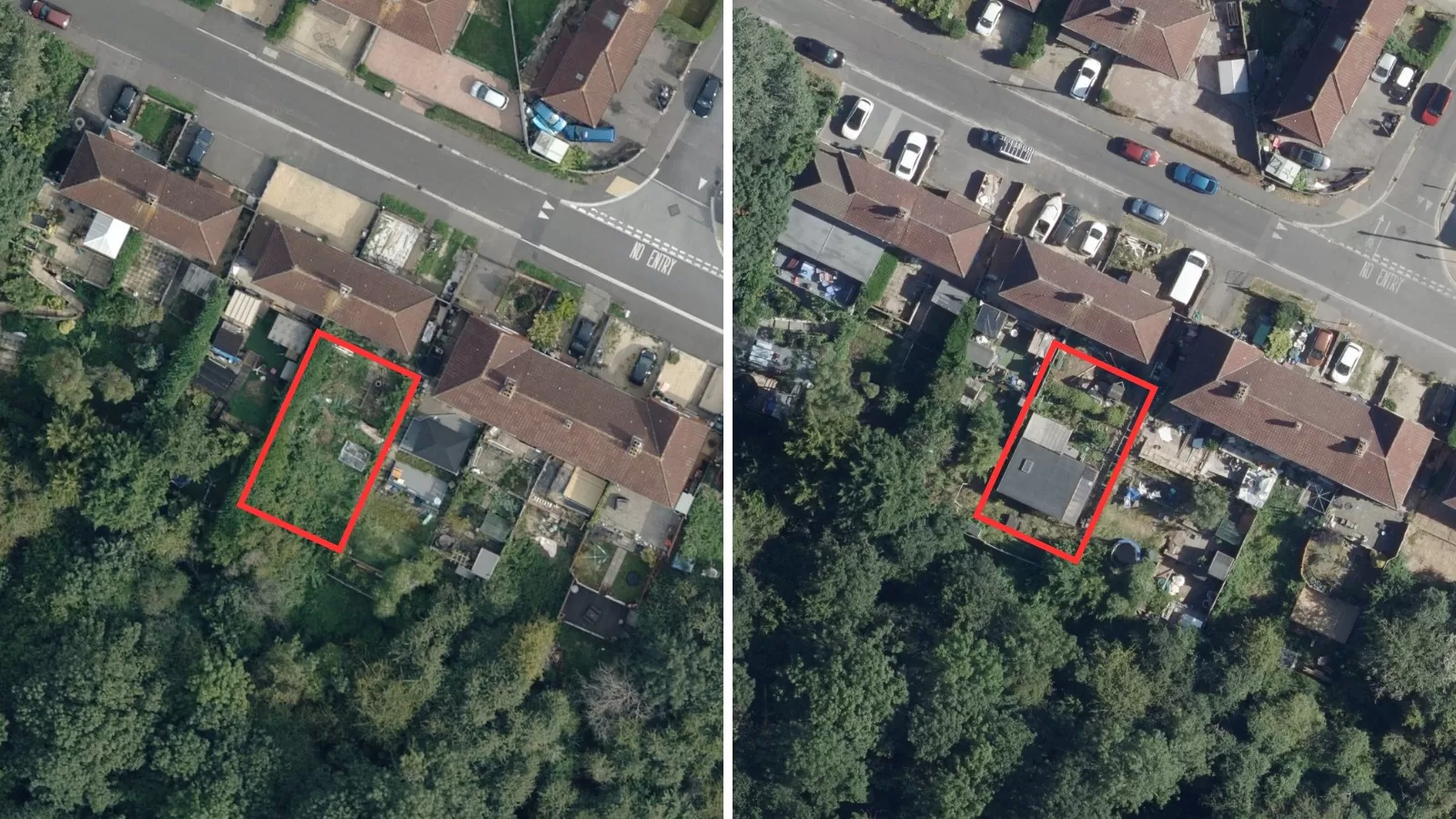
- Change Detection
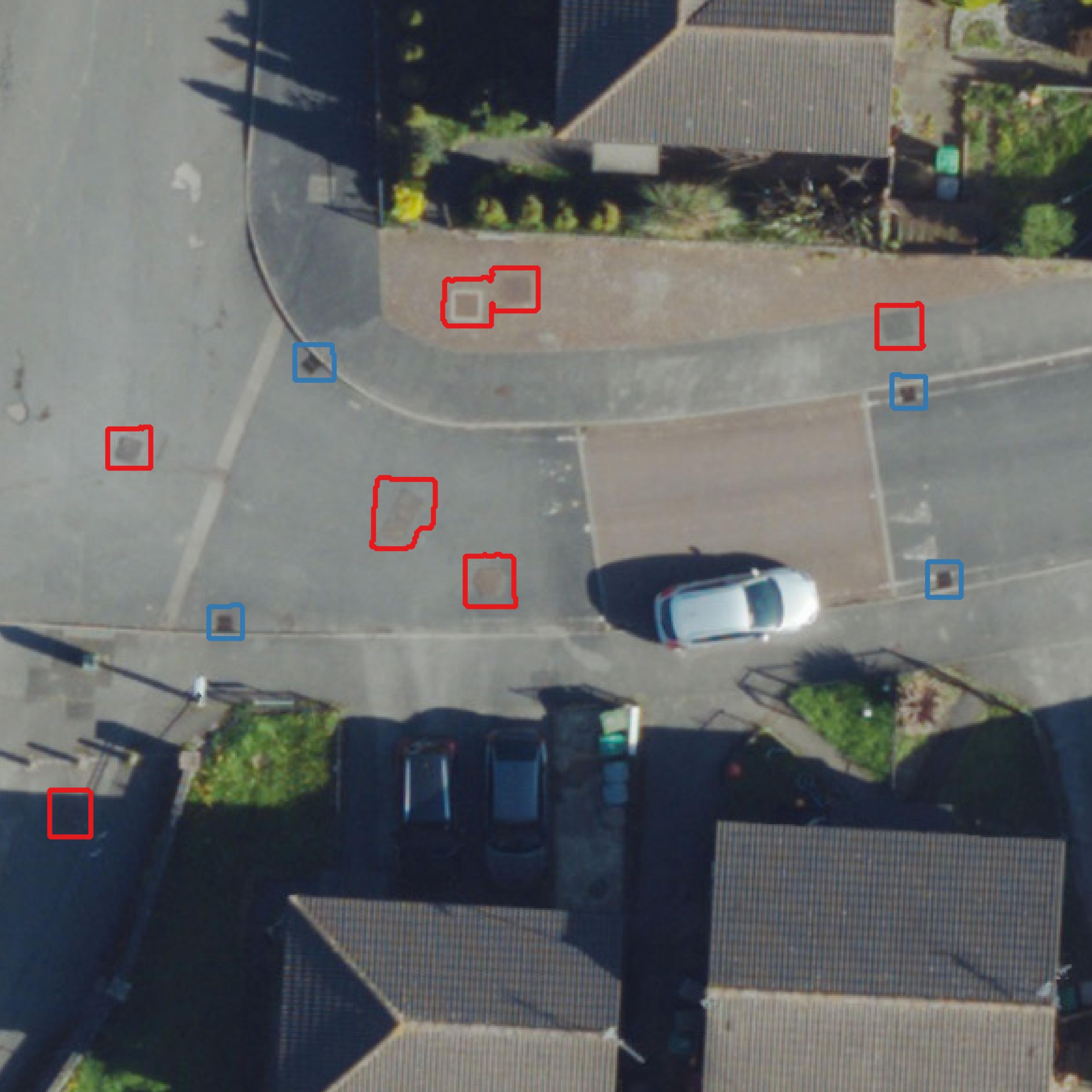
- Asset Detection and Inventory
- Infrastructure Monitoring
-
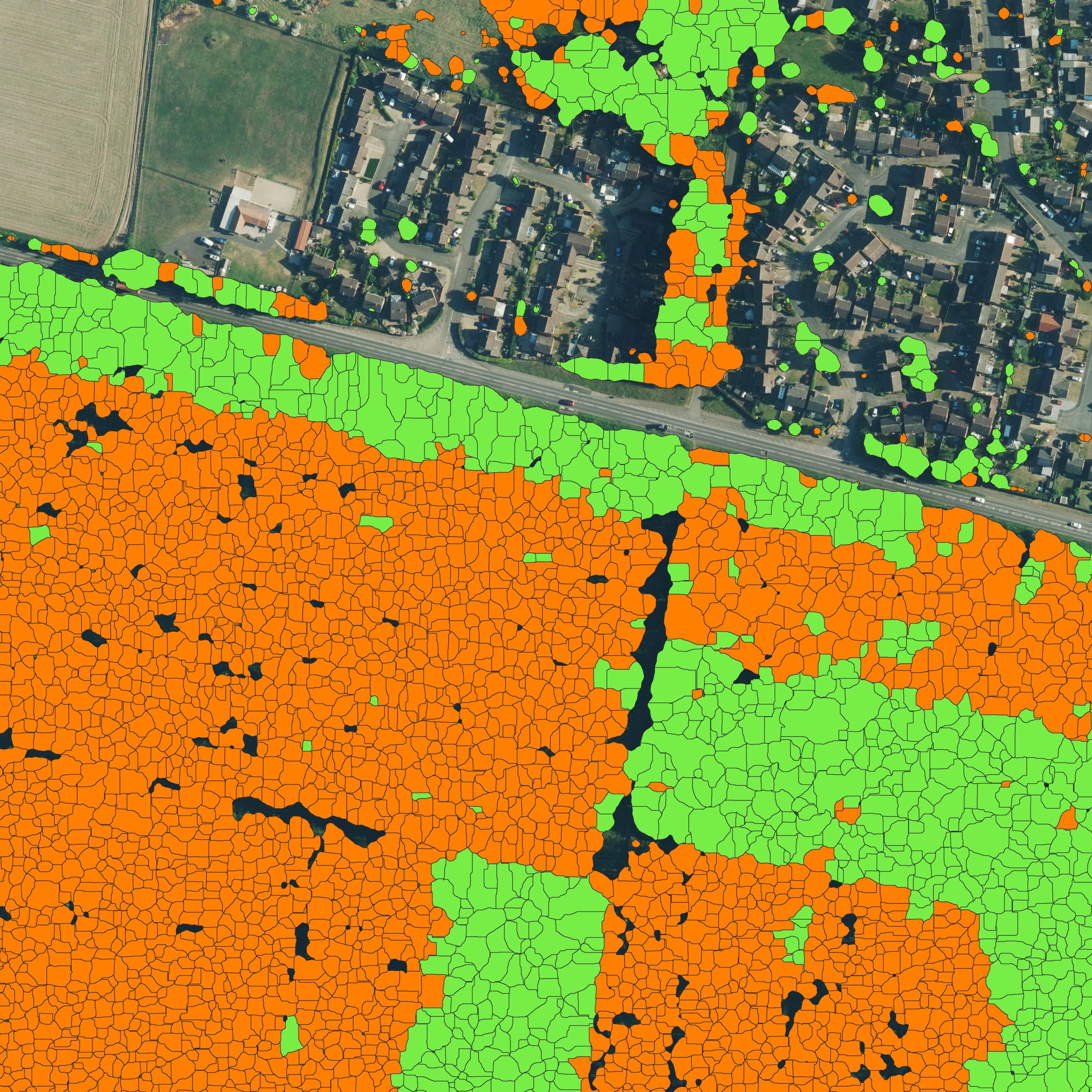
Environmental monitoring
- Planning and Development
- Property portfolio management
- Insurance risk
Key Features
- Built on proprietary high-resolution geospatial datasets
- Bespoke GeoAI model development
- Flexible and scalable service delivery
- Reliable model training using nationally consistent data
- AI-ready labels and expert verification
- End-to-end solutions from data to insight
Visit The Mapshop To Access our world of data
Our online Mapshop gives you immediate access to a diverse range of geospatial data ranging from Aerial Photography, LiDAR, Terrain, National Tree Map™, Ordnance Survey, Derived Data.
Quick search: Enter area of interest
(postcode, town/city, coordinates or OS reference)

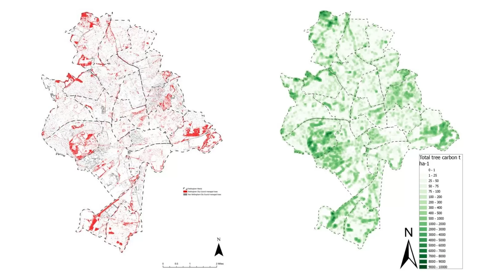
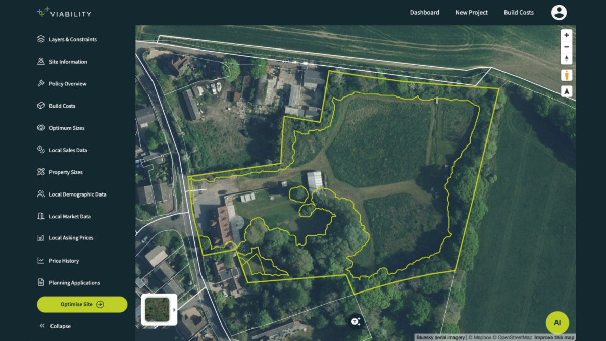
GeoAI Examples