November 2024
-
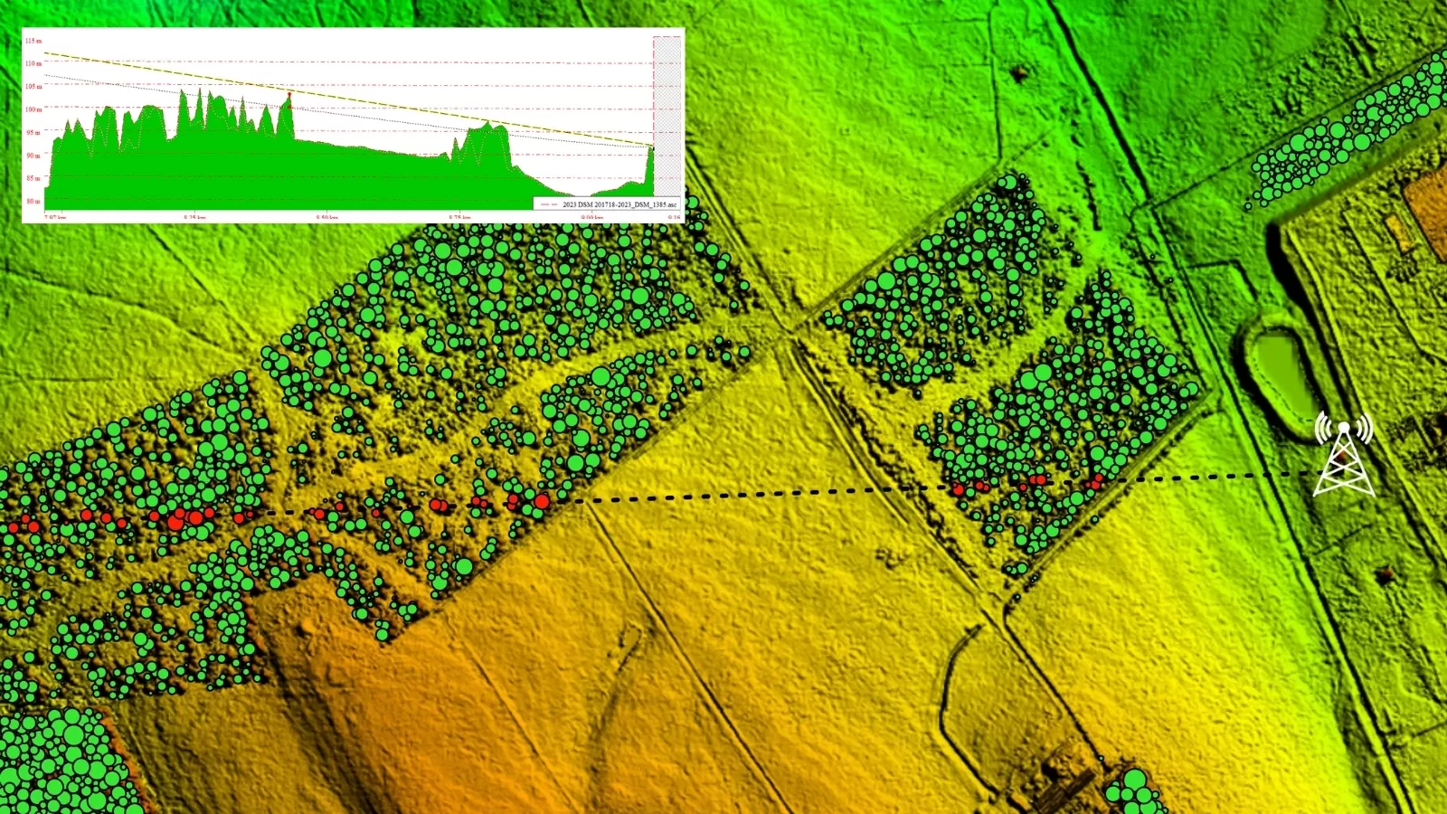
National Tree Map Helps Deliver Clear Signals Between Critical Data Masts Up To 90km Apart
Aerial mapping technology can help to identify tree growth obstructing wireless communications links Power utilities utilise wireless communications links to control the electricity grid Keeping these links unobstructed is key…
Read More
August 2023
-
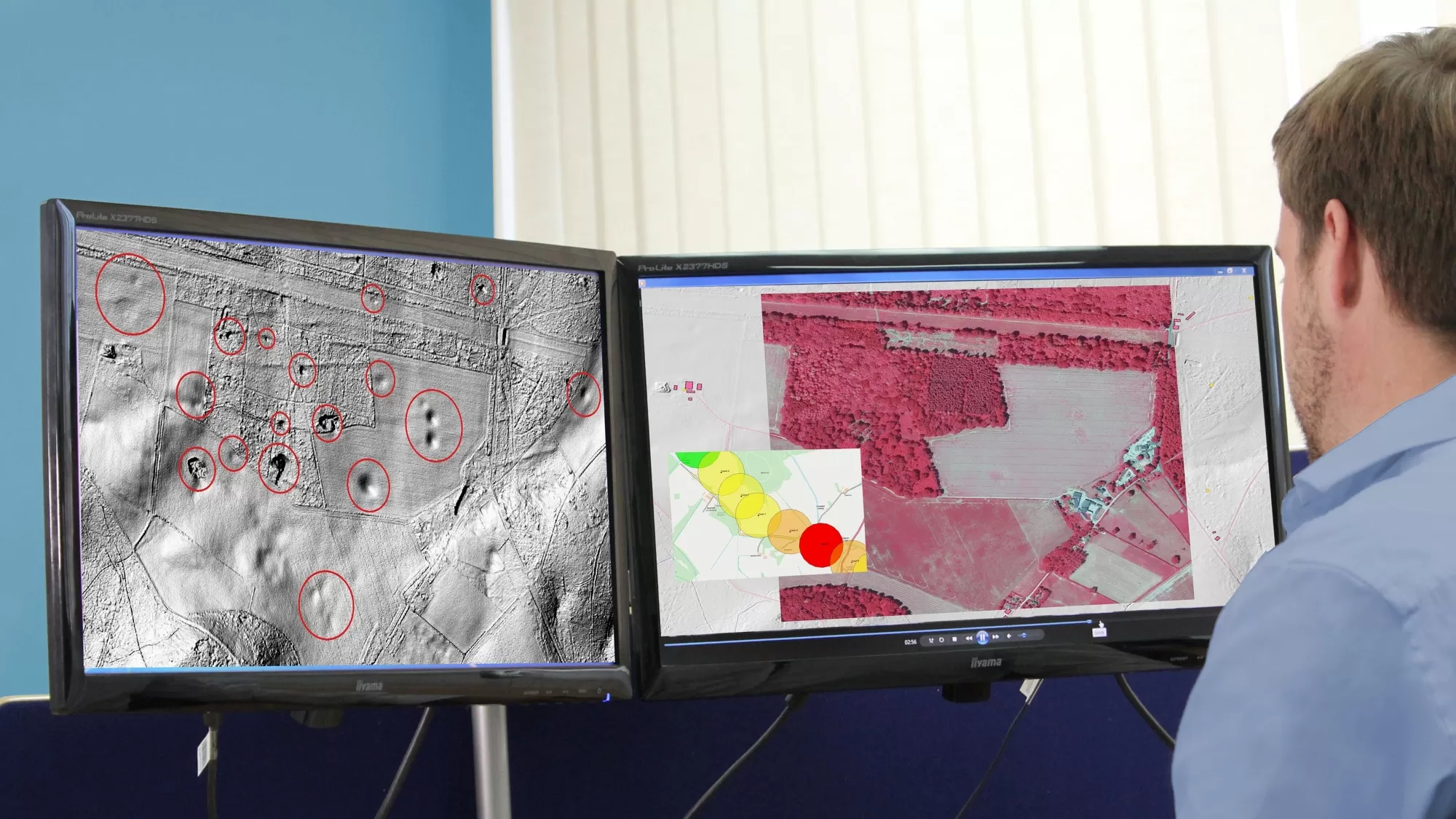
Bluesky Aerial Data Helps CGL Pinpoint Natural Hazards at Development Sites
A geotechnical and consultancy agency is using geospatial data to work smarter, saving significant time and money, both for themselves and their clients. Card Geotechnics Ltd (CGL) is applying aerial…
Read More
July 2023
-
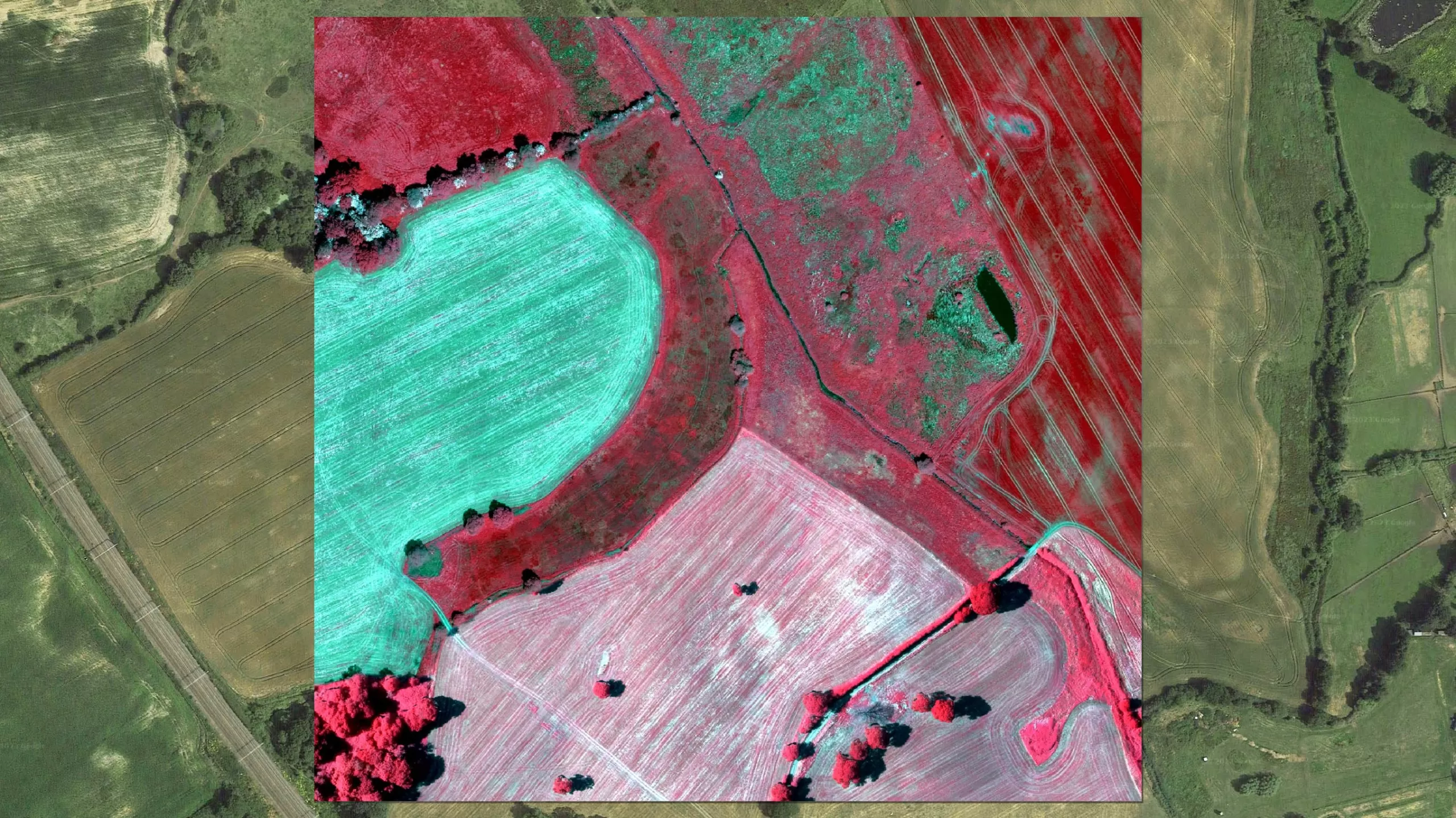
Bluesky’s Airborne Sensors Help Developers Protect Wildlife Habitats
Multi-spectral imagery from Bluesky International is helping developers contribute to government targets to protect and conserve wildlife habitats in the UK. Using the latest Artificial Intelligence (AI) technology, in combination…
Read More
December 2021
-
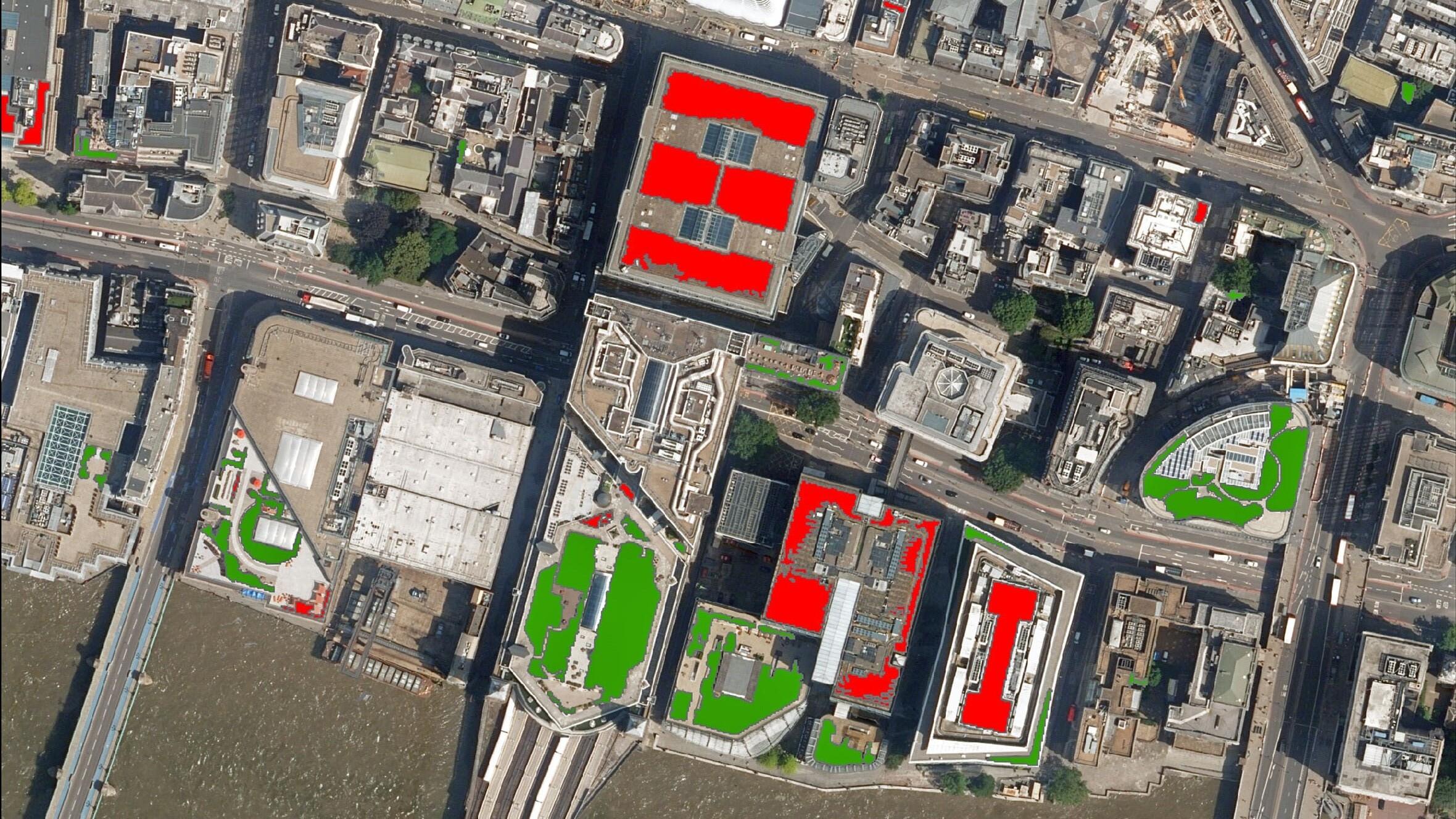
Bluesky Aerial Photography used to Map Green Roofs
Bluesky International Ltd, the UK’s leading aerial survey and mapping company, has supplied its high-resolution photography to support a new artificial intelligence platform created by technology start-up Gentian. The platform…
Read More