

April 2023
-
Bluesky and Ecopia Partner to Create First 3D Map of Ireland
Bluesky International and Ecopia AI (Ecopia) have announced a partnership to develop the first ever 3D land cover map of Ireland. Generated using Bluesky’s 12.5 and 25 cm resolution aerial…
Read More -
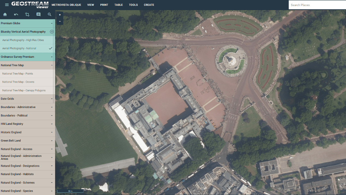
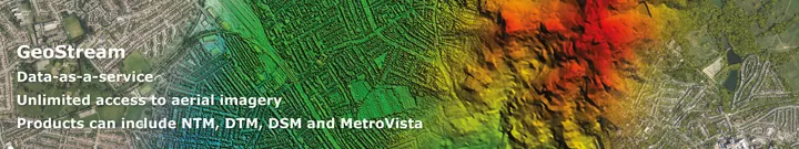
Bluesky Launches New Data-as-a-Service Offering
A new geospatial data subscription service has been launched by aerial survey and mapping company Bluesky designed to ensure customers can access data they need, when they need it, without…
Read More
March 2022
-
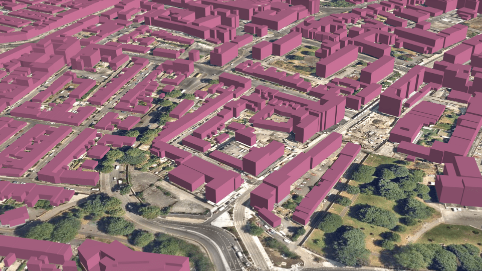
Bluesky Adds Scottish Cities to MetroVista 3D City Line-up
Aerial mapping company Bluesky International has added Edinburgh and Glasgow to its growing coverage of MetroVista 3D city models. Acquired using a state-of-the-art aerial sensor that simultaneously captures vertical and…
Read More