Thermal Mapping
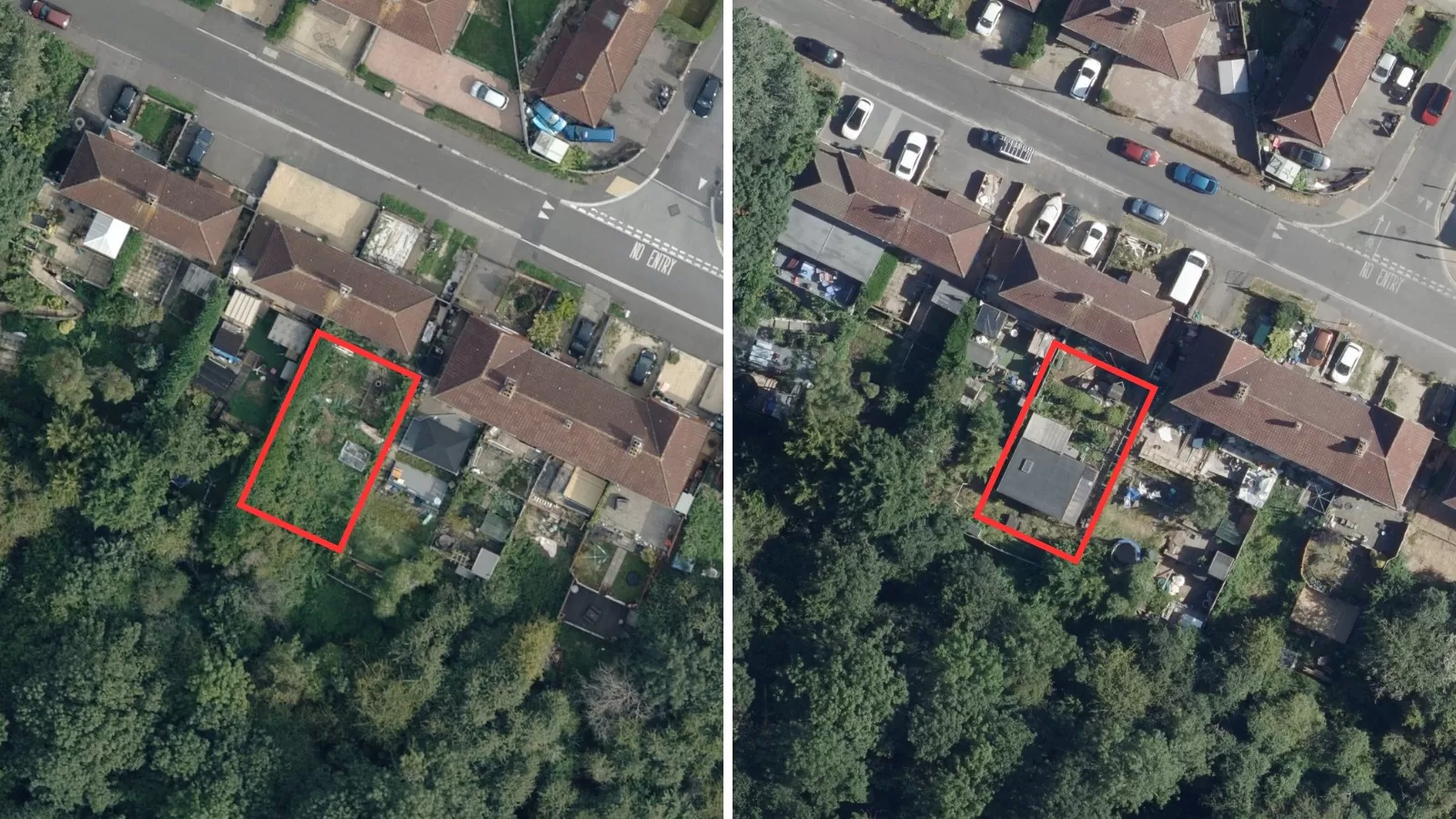
The thermal mapping service from Bluesky is an intelligent thermographic spatial information source for deriving property-level building heat-loss maps, used to identify poorly insulated buildings and “Beds-in-Sheds” illegal dwellings.
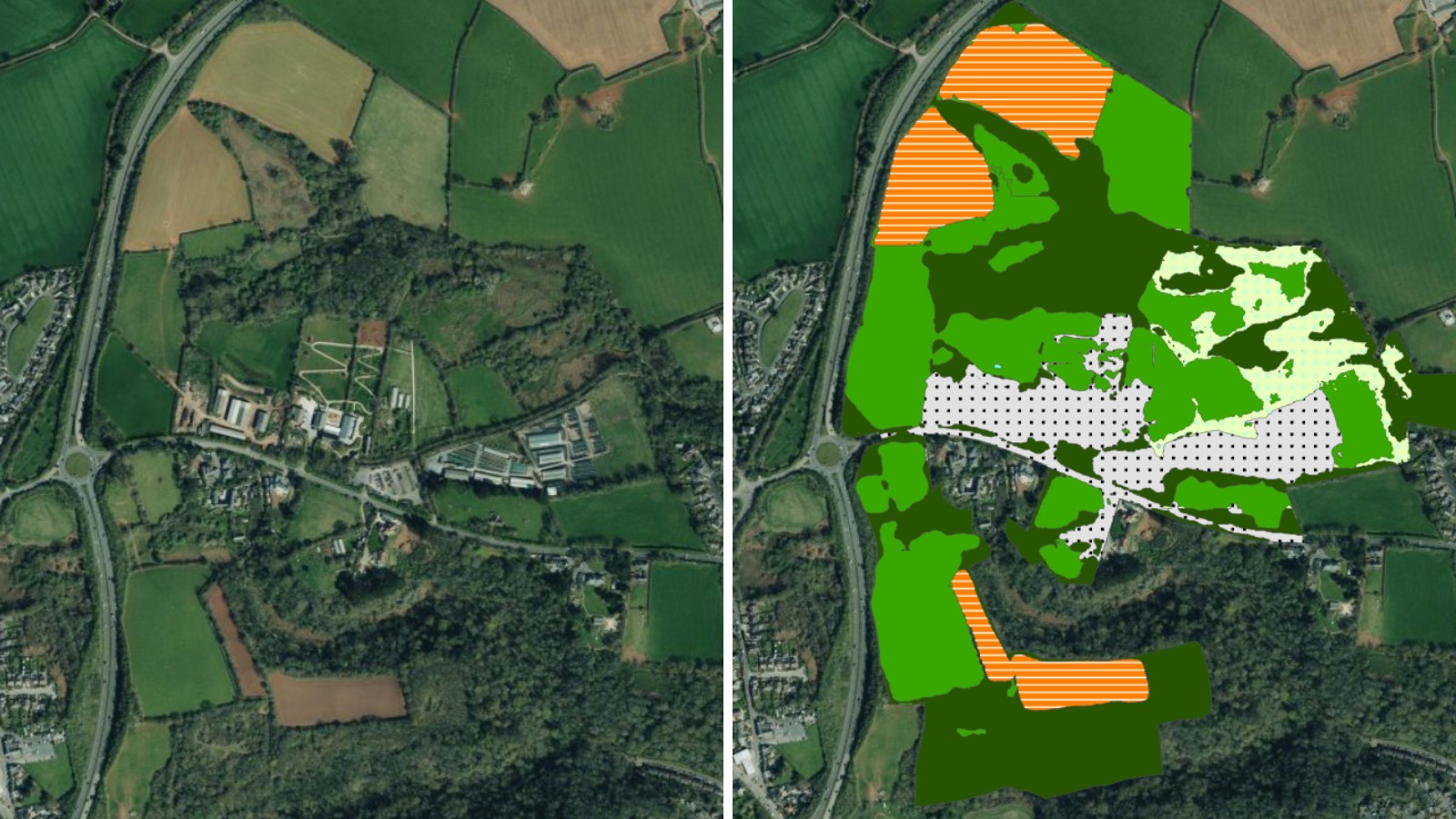
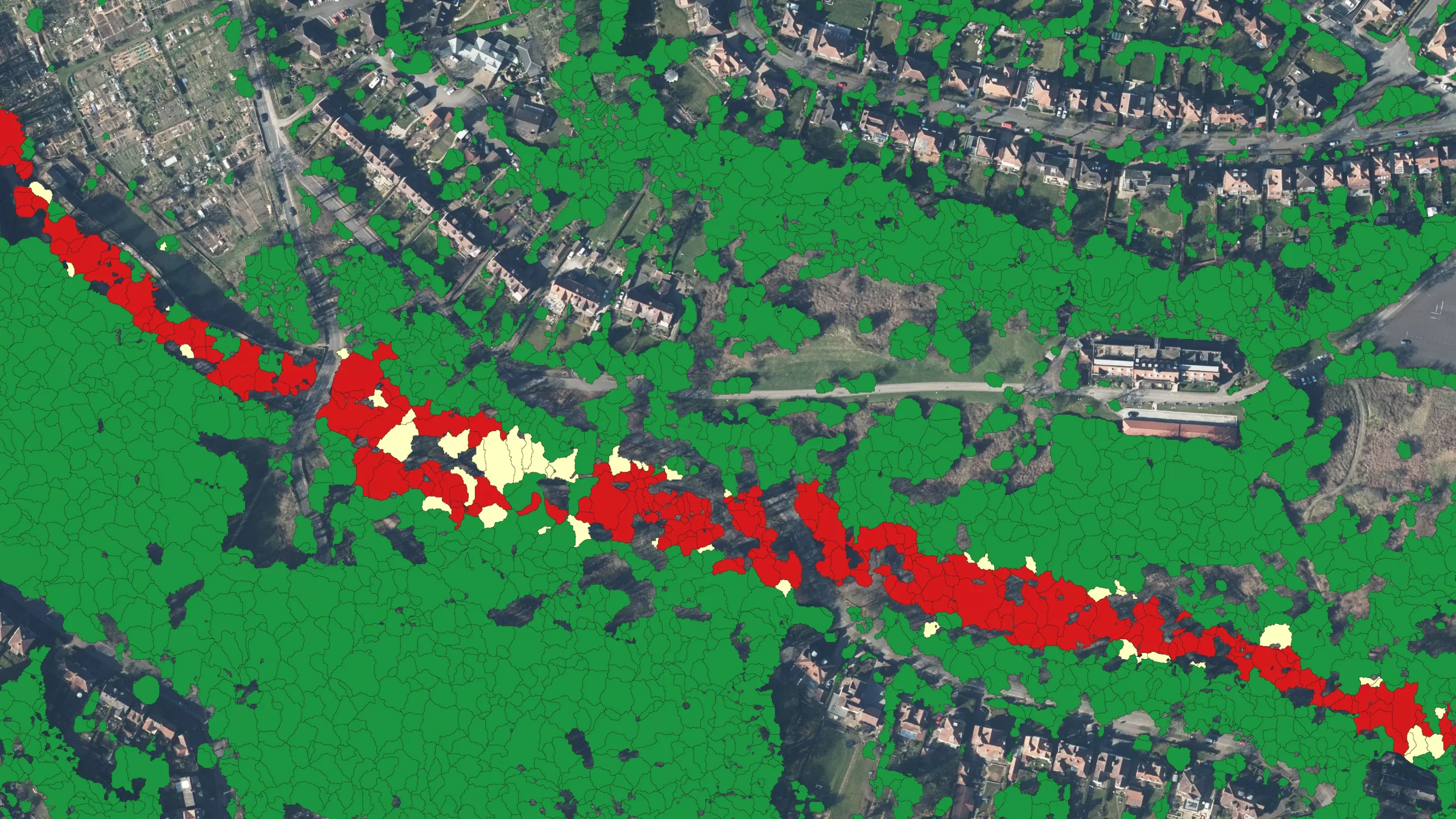
Bluesky provide an end-to-end thermal mapping solution, offering a cost-effective airborne thermal survey service measuring building heat-loss levels across an entire city in just one evening. Thermal Mapping can also be used in forestry studies to identify individual diseased or infested trees.
Specification
-
Advanced GIS analysis and interpretation
-
Provides a visual statement showing local energy use
-
GIS ready seamless raster digital image
-
Relative heat loss values for all buildings across a town or district
-
Thematic classification of heat loss scores for use in GIS
-
Heat loss values can be connected to clients address database
Applications
-
Helps report on national indicator targets
-
Target homes suitable for roof insulation improvements
-
Identification of “Beds-in-Sheds” illegal dwellings
-
Forestry disease and infestations studies
-
Locate hard to treat homes
-
Assists CO2 baseline mapping for Local Authorities
-
Urban heat island mapping
Benefits
-
Cost-effective
-
Clear and visual results
-
Rapid data collection
-
Advanced GIS analysis & interpreatation
-
Compatible with OS MasterMap®
-
Carbon offset on all surveys


