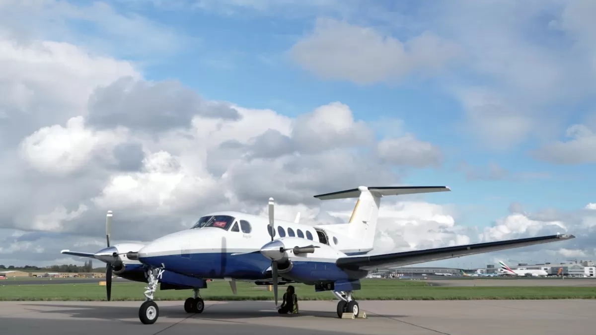


Aerial mapping company and consortium lead Bluesky International, in partnership with Getmapping plc, has been granted a contract extension from the Geospatial Commission to continue to supply aerial photography, 3D height models and Colour Infrared imagery, to public sector organisations across Great Britain.
The contract, branded as Aerial Photography for Great Britain (APGB), was first signed in 2018 enabling 4500 UK local authorities, emergency services, environmental bodies and central government departments to access, free at point of use, high quality aerial data.
Supporting the Government’s commitment to improve take up and use of geospatial technologies, Bluesky as part of its remit under the contract, has delivered data to over 2000 public sector organisations with over 22 million sq km of data delivered to date.
“There is currently a high demand for high quality location data, so we are really pleased the Geospatial Commission has awarded the contract extension which will benefit central government departments, local authorities, emergency services and other public sector organisations at a time when resources are stretched,” commented Rachel Tidmarsh, Managing Director of Leicestershire based Bluesky International. “And, as our data is updated on a three-year rolling flying programme, the public sector will continue to have immediate access to the very latest information.
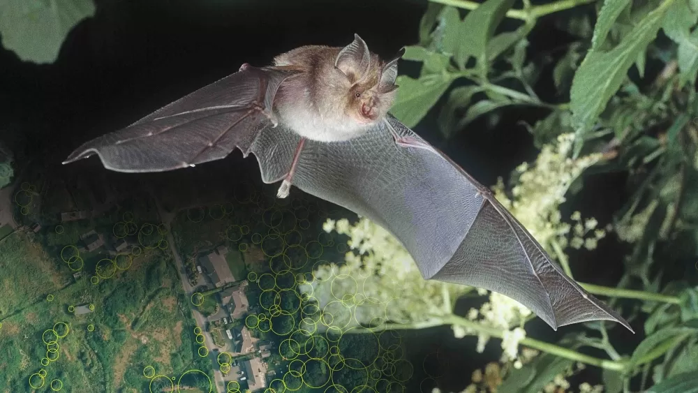
“With must-reach environmental targets in place to achieve net zero, geospatial data has an important role to play in supporting these organisations understand, analyse and plan for change, meaning they can make decisions and policies based on valuable data-derived insight.”
The extension was awarded by the Geospatial Commission working on behalf of the English, Scottish and Welsh Governments to a consortium of Bluesky International and Getmapping plc. The contract has now been extended until March 2024.
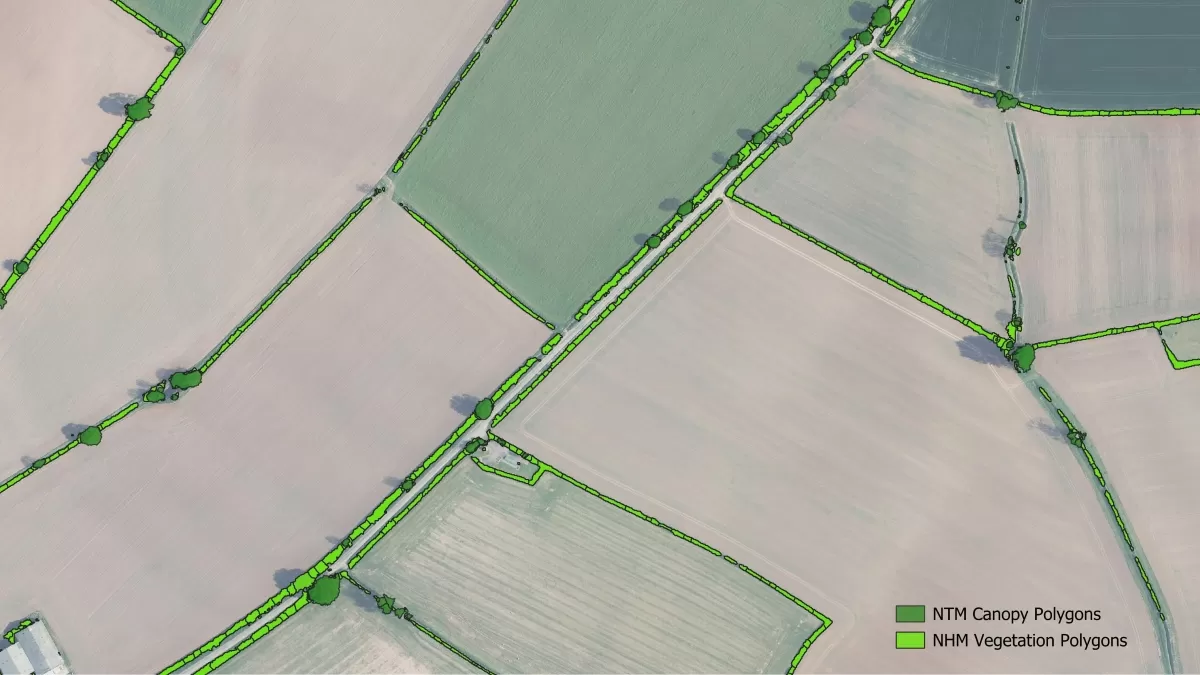
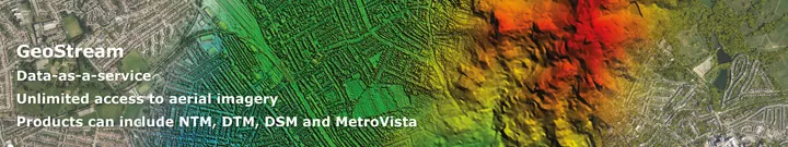
APGB contract covers the supply of natural colour, orthorectified aerial imagery at both 12.5 and 25 centimetre resolutions for the whole of Great Britain and colour infrared at a resolution of 50 centimetres. Photogrammetrically derived national height data is also included in the contract including 5 metre Digital Terrain Model (DTM) or bare earth model and 2 metre Digital Surface Model (DSM) which includes ground features such as buildings and vegetation.