June 2026
-
Bluesky Launches National Clutter Map to Boost Telecoms Network Planning
Bluesky International, a Woolpert Company, has launched a new Great Britain-wide 50m Clutter Map, delivering consistent 2.5D surface intelligence designed to support telecommunications network planning, signal modelling, and rollout optimisation.…
Read More
January 2026
-
SLR Consulting Harnesses Bluesky International’s Geospatial Data to Advance Machine Learning for Sustainability and Renewable Energy Projects
Bluesky International a Woolpert Company, the UK’s leading aerial survey company, is enabling SLR Consulting to push the boundaries of geospatial machine learning, with applications spanning renewable energy, Biodiversity Net…
Read More
December 2025
-
Bluesky Launches Next-Generation Tree Data with NTM+ and NTM Risk
Revolutionary datasets deliver unprecedented insight into the UK’s trees with monthly updates Aerial survey specialist Bluesky International, a Woolpert company, has unveiled two groundbreaking datasets that transform how the UK’s…
Read More
September 2025
-
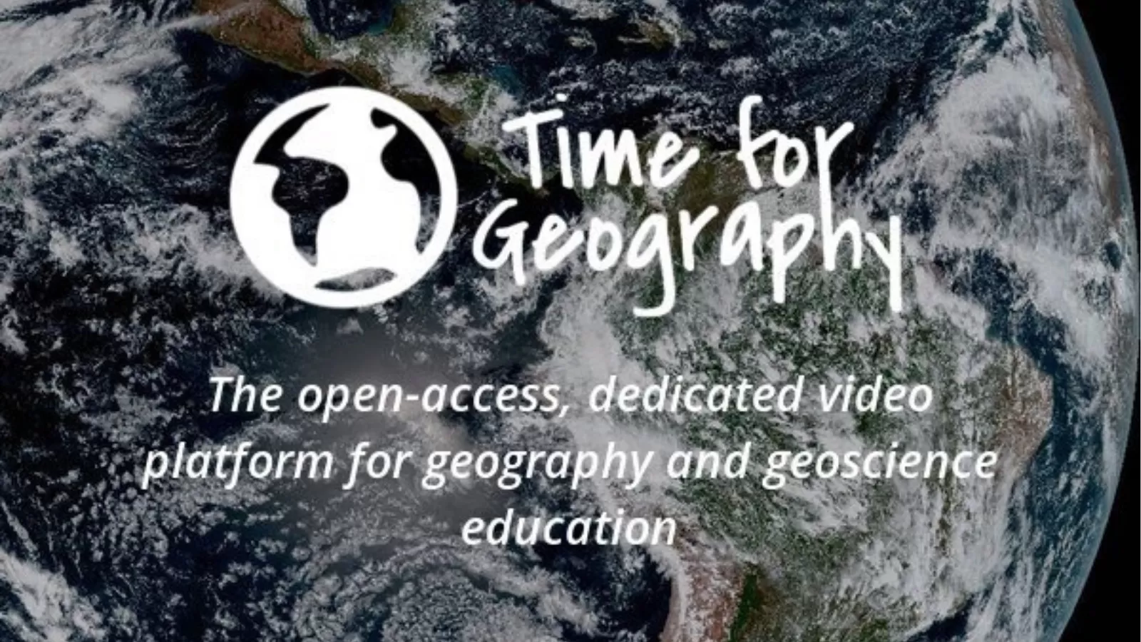
Bluesky Teams Up with Time for Geography as it Launches UK’s Largest Ever Geography Careers Intervention Programme
Aims to future-proof the geoscience and environmental talent pipeline Brings together industry and education to support informed career choices Bluesky International, a Woolpert company, announces it has signed up to…
Read More
August 2025
-
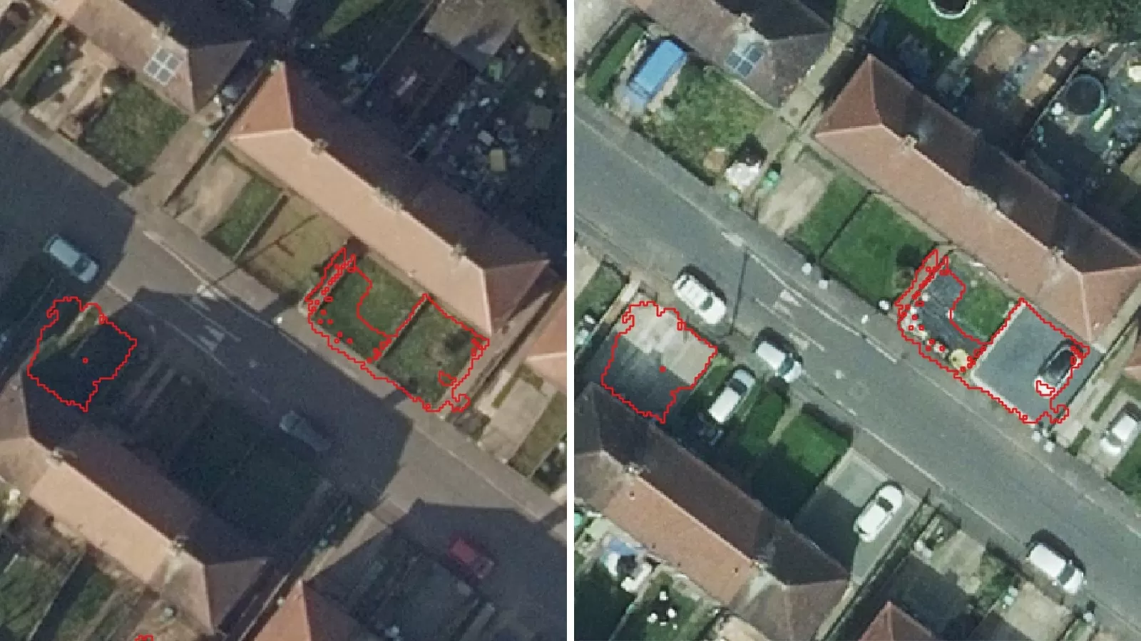
Change Detection Analysis to Support Flood Mitigation Strategies and Greening Programmes
Targeted change analysis will enhance and enable successful flood risk plans Flooding risk in the UK at an all-time high Local authorities, public environmental bodies, utility sector and housing developers…
Read More
June 2025
-
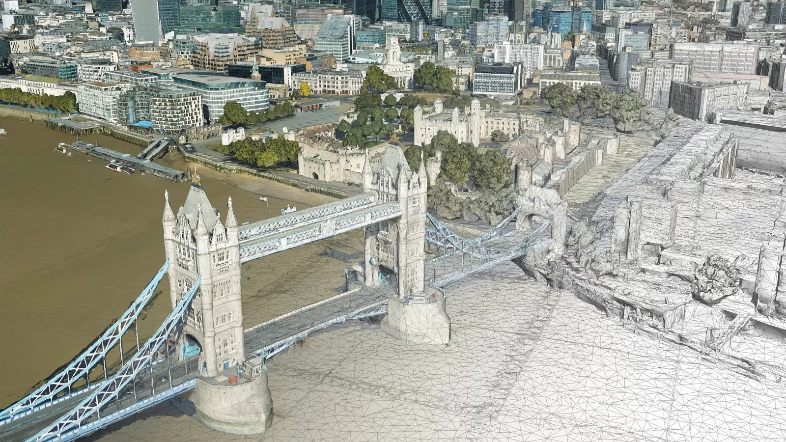
A New Digital Twin of the Liverpool City Region is set to Transform Urban Management and Planning
Team at the University of Liverpool creates first-of-its-kind digital twin A state-of-the-art GIS data platform developed by experts for use in city management 210 sq. km area of the city…
Read More -
Map Impact and Bluesky International Announce Strategic Reseller Partnership
Map Impact, the pioneering biodiversity and climate risk data provider, is excited to announce a new strategic reseller partnership with Bluesky International, the UK’s leading aerial survey provider. Together, they…
Read More
May 2025
-
Woolpert Acquires Bluesky International, UK’s Largest Commercial Aerial Survey Firm
Woolpert has acquired Bluesky International, the largest aerial survey firm in the United Kingdom and the U.K. government’s supplier of choice for aerial photography and height data. The private, multidisciplinary…
Read More -
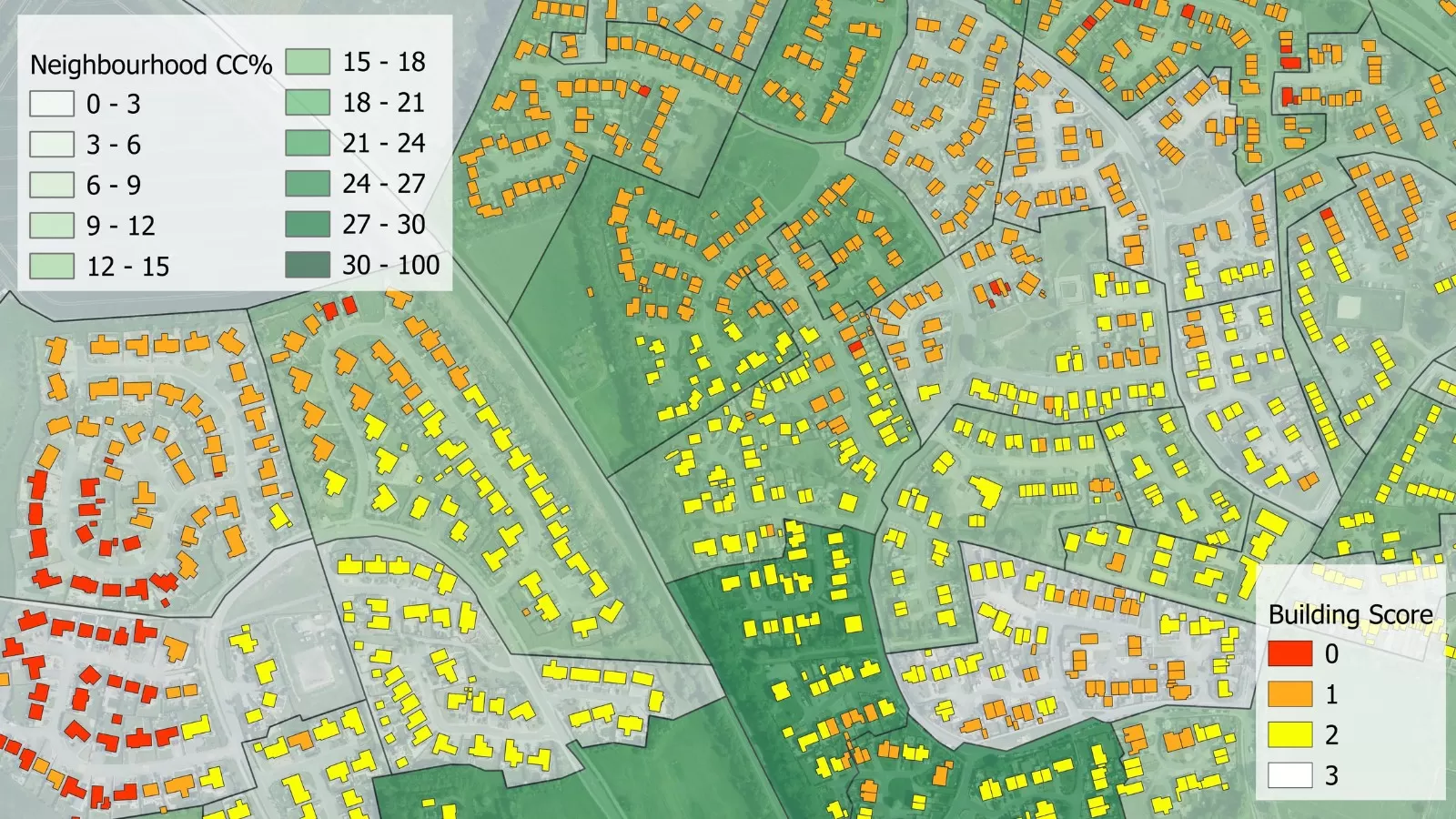
Scottish Council Leading the Way with Cross-Function Application of Green Space Analysis
3+30+300 research rule applied to support health, housing, infrastructure and green space strategies Analysis visuals support resident engagement activities 3+30+300 analysis created using GB’s only comprehensive tree mapping dataset Aberdeenshire…
Read More
April 2025
-
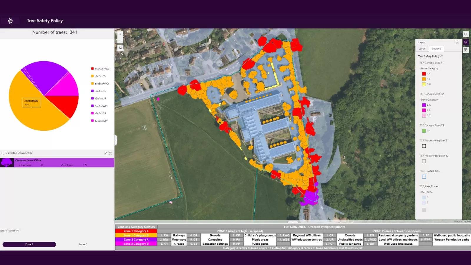
UK Utility Company Launches New Dashboard to Manage Tree Safety Across Expansive Region
Wessex Water applies National Tree Map™ data to map trees on landholding Supports a focus on managing high priority sites like those next to railways Aims to ensure public and…
Read More -
University of Leicester Partners with Bluesky International to Revolutionise Tree Mapping Technology
The University of Leicester has joined forces with one of the UK’s leading providers of aerial survey and geospatial data, Bluesky International Ltd, to transform the way we understand trees.…
Read More
January 2025
-
Bluesky International Aerial Imagery and Data Helps Crack Carbon Capture Equation
Nottingham City Council and Nottingham University using Bluesky data to enable calculations National Tree Map™ imagery and data aids with carbon storage calculation Carbon map now influencing planning policy and…
Read More -
National Hedgerow Map Fills ‘Gap’ in Available Data For Specialist Environmental Consultancy
NHM™ supports important Biodiversity Net Gain calculations A detailed hedgerow map that facilitates rapid carbon capture calculations NHM™ complements Bluesky’s established National Tree Map™ to offer comprehensive vegetation analysis Just…
Read More
December 2024
-
High Resolution Aerial Imagery from Bluesky Applied in Revolutionary New AI Tool Launched to Support UK Housing Developers
A new AI platform to support UK’s SME housing developers High resolution aerial data imagery supports developer decisions on site viability Accurate data supports risk analysis and financial planning A…
Read More
November 2024
-
Bluesky National Tree Map Data Supports Vital Conservation Work at Blenheim Palace
Aerial mapping data will analyse how trees at UNESCO World Heritage Site have changed over time Data will inform planned projects to increase woodland Follows work to create the largest…
Read More -
Urban Tree and Green Space Calculation Tool Gives Clarity on Priority City Areas in Urgent Need of Greening Initiatives
Designed to offer insight into areas that do not meet requirements detailing proximity to trees and green space Developed applying the 3+30+300 rule to the unique National Tree Map™ Snapshot…
Read More -
National Tree Map Helps Deliver Clear Signals Between Critical Data Masts Up To 90km Apart
Aerial mapping technology can help to identify tree growth obstructing wireless communications links Power utilities utilise wireless communications links to control the electricity grid Keeping these links unobstructed is key…
Read More
October 2024
-
Bluesky International’s High-Resolution Aerial Photos Used to Map UK’s Solar Panels
Tool designed by Geospatial Insight shows UK’s solar set up Data will be used by local authorities, businesses and clean energy sector It’s hoped information will help fuel transition to…
Read More
September 2024
-
Historic Imagery Archives From Britain’s Leading Aerial Imagery Providers Made Available To All Public Sector Organisations
Imagery archives dating back to 1999 offer valuable window to the past Public sector organisations can access imagery at no cost to them Awarded as part of the recently announced…
Read More
July 2024
-
Bluesky Named Sole Supplier of Aerial Photography to UK Government
£15m+ deal places Leicestershire-based Bluesky at forefront of UK aerial data provision Geospatial Commission awards specialist contract to sole supplier for the first time Deal places Leicestershire firm at the…
Read More
May 2024
-
Bluesky Moves to Two-Year GB Aerial Capture Programme
240,000 sq kms of GB updated every 2 years 12.5cm GB wide coverage 5cm resolution imagery of all urban areas DSM, DTM, NTM, NHM also updated on 2 year programme…
Read More -
New Mapping Technology Shows Carbon Stored In Britain’s Much-Loved Hedgerows
New geospatial mapping technology is enabling the carbon storage benefit of Great Britain and Ireland's hedgerows to be calculated from the skies. The nation’s hedgerows have been in the spotlight over recent…
Read More
March 2024
-
Bluesky National Tree Map Helps Protect Galway City’s Biodiversity
Galway City Council is applying Bluesky International’s unique National Tree Map (NTM) data to assist the development of strategic planning policy designed to protect and support wildlife trying to survive…
Read More -
Bluesky International Donates £1,500 to Help Maintain Story of Ashby-de-la-Zouch
Bluesky International has stepped in to help preserve historical local pictures from its neighbourhood’s past. The aerial mapping company offered to make a donation to Ashby-de-la-Zouch Museum after it emerged…
Read More
February 2024
-
Bluesky Aerial Photos at Heart of New Met Police Mapping Tool
High resolution aerial photography from Bluesky International is informing day-to-day decision making, long-term planning and reporting at the Metropolitan Police Service. Supplied as part of a multi-million-pound Government mapping contract,…
Read More
December 2023
-
Bluesky Partners with Sensat Providing Data for New Visualisation Tool
A new data visualisation tool has been developed and launched designed to support civil infrastructure teams expediate access to data during the planning phase enabling more informed decision making and…
Read More -
Peak District Pioneers High Resolution AI Landscape Mapping using Bluesky Aerial Images
The Peak District National Park Authority, in partnership with Cranfield University and The Alan Turing Institute, is pioneering the use of Artificial Intelligence (AI) to automate the production of highly…
Read More
November 2023
-
Anglian Water Alliance Streams Bluesky Aerial Mapping for Web App
An alliance that is delivering £1.2 billion of capital investment schemes for Anglian Water is streaming aerial maps to improve decision making, with the aim of reducing site visits. The…
Read More
October 2023
-
Geospatial Insight and Bluesky Launch Strategic Partnership to Drive Rooftop Solar Uptake
With solar energy becoming a crucial component in the journey towards achieving net zero, Geospatial Insight and Bluesky International are proud to unveil their strategic partnership aimed at transforming the…
Read More -
Bluesky Aerial Maps Improve Efficiency for Forest Surveys
Forest Surveys is using high-resolution imagery from Bluesky International to improve its understanding of terrain in difficult to access locations. Working with clients across the forestry sector, Forest Surveys is…
Read More -
Richard Evans Appointed to Role of Sales Consultant at Bluesky International
Aerial mapping innovator Bluesky International, has recruited Richard Evans to its expanding commercial team. Taking on the role of Sales Consultant, Evans brings with him more than 12 years’ experience…
Read More
September 2023
-
Midlands Aerial Mapping Company Bluesky Sponsors Tamworth Women’s Football Team
Midlands-based aerial mapping company Bluesky International has announced it is 2023/24 kit sponsor for Tamworth Football Club Women’s team. The deal sees Bluesky’s logo appear on the first team women’s…
Read More -
MWH Treatment uses 3D Building Models from Bluesky to Drive Innovation in Water Sector
MWH Treatment is using highly detailed, geographically accurate 3D models to create visualisations, animations and interactive applications that are improving standards for safe and sustainable solutions within the water sector.…
Read More -
Bluesky 3D Imagery Brings Global Warming Sea Level Rises to Life
Immersive story telling company Sairo has used high resolution aerial photography and 3D mapping from UK aerial survey and mapping company Bluesky International to illustrate the impact of global warming…
Read More
August 2023
-
Bluesky Aerial Data Helps CGL Pinpoint Natural Hazards at Development Sites
A geotechnical and consultancy agency is using geospatial data to work smarter, saving significant time and money, both for themselves and their clients. Card Geotechnics Ltd (CGL) is applying aerial…
Read More -
Renewable Energy Planning in Ireland
With ambitious plans to tackle climate change, Ireland has already seen a dramatic increase in energy generated from renewable resources yet there is still a growing demand that is not…
Read More -
Bluesky MetroVista 3D City Model Underpins Nottingham’s Digital Twin
Nottingham City Council is a step closer to achieving its vision of creating a digital twin for the city. In what’s believed to be a UK first they are combining…
Read More
July 2023
-
Bluesky’s Airborne Sensors Help Developers Protect Wildlife Habitats
Multi-spectral imagery from Bluesky International is helping developers contribute to government targets to protect and conserve wildlife habitats in the UK. Using the latest Artificial Intelligence (AI) technology, in combination…
Read More -
Bluesky Building Models Aid Planning for World’s Largest Cultural Hub
3D building models from aerial mapping company Bluesky International, are at the heart of plans for a landmark development in the centre of Coventry, informing Virtual Reality (VR) presentations and…
Read More
June 2023
-
Bluesky Makes a Record Breaking Start to the 2023 Mapping Flying Season
Aerial mapping company Bluesky International has made a record-breaking start to its 2023 flying season having captured more than 96 per cent of its UK flying target in the first…
Read More -
LexisNexis Improves Insurer Risk Assessment Portfolio with National Tree Map
A new suite of geospatial products has been launched by LexisNexis Risk Solutions in a bid to address weather-related challenges faced by the UK and Ireland insurance market. Bluesky International…
Read More -
Bluesky Expands Commercial Team with Appointment of Bassett and Hoskins
Aerial survey and geographic data company Bluesky International has expanded its commercial team with the appointment of Kate Bassett and Andy Hoskins. Taking on the role of Head of 3D…
Read More -
Birmingham Council Creates Interactive Mapping Portal using Bluesky Tree Data
Birmingham City Council has launched a first of its kind mapping portal to address the issue of tree equity across the city. With National Tree Map data, created by aerial…
Read More
April 2023
-
Bluesky and Ecopia Partner to Create First 3D Map of Ireland
Bluesky International and Ecopia AI (Ecopia) have announced a partnership to develop the first ever 3D land cover map of Ireland. Generated using Bluesky’s 12.5 and 25 cm resolution aerial…
Read More -
Bluesky Launches New Data-as-a-Service Offering
A new geospatial data subscription service has been launched by aerial survey and mapping company Bluesky designed to ensure customers can access data they need, when they need it, without…
Read More -
Bluesky Partners with Berlin-based UP42 to Supply Aerial Imagery and Geospatial Data
Bluesky International announces a new partnership with Berlin-based UP42, a leading geospatial developer platform and marketplace. The recently signed agreement will see Bluesky supply its accurate, high resolution aerial imagery…
Read More
March 2023
-
Bluesky Partners with SkyFi to Widen Access to its Aerial Imagery Catalogue
Bluesky International announces a new partnership with SkyFi, an American company, based in Texas, that aims to democratise access to earth observation assets by providing access of multi-perspective imagery to…
Read More -
Cardiff Council Addresses Flood Risk Using Bluesky National Tree Map
Cardiff Council is using an aerial map of trees to help it prioritise essential works in order to reduce the risk of surface water flooding. Created by Bluesky International, the…
Read More -
How Green is the London Marathon? Aerial Mapping Company Bluesky Reveals All
Aerial mapping company Bluesky International has completed a study into tree canopy cover at differing points along the route of the upcoming London Marathon. Using its unique database of more…
Read More
February 2023
-
Bluesky Tree Map Enhances Online Urban Forest Mapping Platform
Greentalk, a London based ecotech start-up, is offering a map of trees from Bluesky International within its online urban forest engagement platform. Incorporating Bluesky’s National Tree Map data, Greentalk will…
Read More
January 2023
-
Bluesky National Tree Map Helps Dudley Council Keep Black Country Green
A unique map database from Bluesky International is helping Dudley Metropolitan Borough Council inform research and development projects, engage with stakeholders and ensure the historic capital of the Black Country…
Read More
December 2022
-
Bluesky National Tree Map Helps Bradford District Council Manage Tree Disease
A local authority has turned to data from aerial survey and mapping company, Bluesky International, to manage tree health and felling across a 98-hectare estate and areas of an adjoining…
Read More -
Tree Map Data Key Tool To Protect Highways From Falling Trees
A unique tree mapping tool is being used by Leicestershire County Council as part of its programme to help keep its highways safe throughout the county. The local authority is…
Read More
November 2022
-
Research by Bluesky International Reveals Link Between Trees and Happiness
Research by aerial mapping company Bluesky International has shown a direct correlation between happiness and the ‘greenest’ London Boroughs. By comparing its unique database of more than 3 million trees…
Read More -
Night Surveys Show Heat-Loss from Homes to Help Councils Allocate Energy-Saving Funds
Aerial surveying company Bluesky is planning night-time flights over UK cities this winter with the latest high-tech thermal imaging camera to measure heat loss from roofs. UK local authorities are…
Read More
October 2022
-
Bluesky International announced as supplier for new Ordnance Survey framework
Bluesky International, a leading UK aerial survey and mapping company, has fought off stiff competition to be named as one the selected organisations to sit on a new framework created…
Read More
September 2022
-
Bluesky Takes to the Skies to Capture More Oblique Views of UK Cities
Aerial mapping company Bluesky International, is using one of the world’s most advanced hybrid sensors to expand its library of high-definition oblique photographs of UK cities to reveal more detail…
Read More
August 2022
-
Bluesky Celebrates Extension to Multi Million Pound Government Mapping Contracts
Aerial mapping company and consortium lead Bluesky International, in partnership with Getmapping plc, has been granted a contract extension from the Geospatial Commission to continue to supply aerial photography, 3D…
Read More -
Bluesky Reveals Growing Appetite for Same Day Delivery Geospatial Data
Aerial mapping company Bluesky International, has revealed a huge upsurge in the demand for same day delivery geospatial data. Since launching its online Mapshop, companies from industries such as architecture,…
Read More
July 2022
-
Bluesky’s Tree Map Helps Green Infrastructure Planning for Swansea Housing
Bluesky International’s geospatial data is providing environmental insights and informing future green space plans in a bid to enhance resident well-being, improve air quality, maximise biodiversity and improve surface water…
Read More
June 2022
-
Bluesky Aerial LiDAR Survey Data Helps Farmers Apply for Carbon Credits
A new government funded project is using LiDAR data captured by aerial survey and mapping company, Bluesky International to identify areas of hedgerow and subsequently the amount of carbon captured…
Read More -
Bluesky LiDAR and Aerial Photography Bring Builds to Life for Dublin Design Studio
A Dublin based architectural consultancy is using data from aerial survey and mapping company Bluesky International to ensure the planning process is conducted as efficiently and smoothly as possible for…
Read More
May 2022
-
Bluesky’s National Tree Map Helps Improve Biodiversity in London
A project targeting biodiversity gain and climate change resilience in Bloomsbury, London is turning to data from Bluesky International’s National Tree Map (NTM) to ensure proposals are built on evidence-based…
Read More
April 2022
-
Bluesky International get excited for the new 2022 Flying Season across the UK
Bluesky International, the UK’s leading aerial mapping company, is preparing for the start of the 2022 flying season. Following a productive 2021 season across the United Kingdom and Republic of…
Read More
March 2022
-
Bluesky 3D Models Help Macro Works Plan Milestone Solar Farm in Ireland
3D maps derived from the latest aerial photography are being used to secure planning permission for solar farms across the Republic of Ireland. Created by Bluesky International, the Digital Terrain…
Read More -
Tree Carbon Capture Figures are More Accurate Thanks to Bluesky’s National Tree Map
Tree carbon capture figures in West and North Yorkshire are now being recorded more accurately as experts have turned to data from the National Tree Map. This unique dataset, created…
Read More -
Bluesky Adds Scottish Cities to MetroVista 3D City Line-up
Aerial mapping company Bluesky International has added Edinburgh and Glasgow to its growing coverage of MetroVista 3D city models. Acquired using a state-of-the-art aerial sensor that simultaneously captures vertical and…
Read More
February 2022
-
Waterford City and County Council Use Bluesky National Tree Map Data to Support Carbon Neutral Plans
Data from Bluesky International’s National Tree Map is being used by Waterford City and County Council to help benchmark current tree cover across the city and to look at suitable…
Read More -
Bluesky Aerial Photography Helps Derby Homes Boost Solar Energy Output and Reduce Carbon Emissions
Aerial mapping company Bluesky is helping Derby Homes roll out integrated solar photovoltaic (PV) systems across its housing stock. A project to identify suitable roof coverings assessed more than 8,000…
Read More
January 2022
-
Bluesky LiDAR Survey Reveals More than 400 ‘New’ Archaeological Sites in AONB
A high precision terrain mapping project has revealed more than 400 ‘new’ archaeological sites in England’s first Area of Outstanding Natural Beauty (AONB). Commissioned by the Quantock Landscape Partnership Scheme…
Read More
December 2021
-
Bluesky Aerial Photography used to Map Green Roofs
Bluesky International Ltd, the UK’s leading aerial survey and mapping company, has supplied its high-resolution photography to support a new artificial intelligence platform created by technology start-up Gentian. The platform…
Read More
November 2021
-
Bluesky National Tree Map Data Included in First Online Natural Capital Calculator
The first online natural capital mapping tool in the UK – NatCap Map – is using data from Bluesky’s National Tree Map™. Developed by Natural Capital Research, the tool allows…
Read More
October 2021
-
Hexagon Streams Bluesky GB Aerial Photography via HxGN Content Program
A partnership between Bluesky International and Hexagon’s Geosystems division will see the most up-to-date aerial imagery of England, Scotland and Wales added to the largest, online library of orthophotography for…
Read More -
Bluesky LiDAR Benchmarks Carbon Neutral Farming in Northern Ireland
A European Innovation Partnership project to accelerate the move towards net carbon zero farming is using specially commissioned LiDAR data to create a baseline for future measurements. Working with ARCZero…
Read More
September 2021
-
MWA Arboriculture uses Bluesky National Tree Map to Inform Tree Condition Surveys
Arboricultural consultancy MWA Arboriculture is using data from the National Tree Map, the only map that details the location and attributes of more than 300 million trees, to inform tree…
Read More -
Bluesky and University of Leicester Use AI to Reduce Data Intensity for Smart City Applications
Aerial mapping company Bluesky International and the University of Leicester are using Artificial Intelligence and Machine Learning to make 3D models easier to use in smart city and digital twin…
Read More -
Bluesky National Tree Map™ at the Root of Birmingham’s Urban Forest Master Plan
An extract from a map that details the location and attributes of more than 300 million trees is being used to create the UK’s first Urban Forest Master Plan (UFMP).…
Read More -
Bluesky Aerial Photomaps Feature in International Arts Festival
Mirror Pavilion, Leaf Work, (Derrigimlagh) 2020 by John Gerrard photo by Ros Kavanagh Aerial photography and 3D height models from Bluesky are informing a new art installation in Ireland. Part…
Read More
August 2021
-
Bluesky Cyclomedia Partnership Combines Aerial and Mobile Mapped Data for Virtual City Models
Aerial mapping company Bluesky International is working with the Dutch mobile mapping specialist Cyclomedia to bring together imagery and height data, captured from the air and at street level, to…
Read More -
Bluesky appoints Europa Technologies as reseller for National Tree Map
Bluesky International has appointed Europa Technologies as an authorised reseller for the National Tree Map (NTM). The NTM is the foremost environmental database of its kind. With coverage across Great…
Read More -
WhenFresh partners with Bluesky to give insurers vital access to National Tree Map data
WhenFresh has teamed up with tree mapping specialists Bluesky to make its National Tree Map™ (NTM™) data available to insurers and other Big Data users, via the UK’s property ‘Data…
Read More
July 2021
-
Bluesky National Tree Map Shows Changing Face of Sevenoaks District’s Historic Tree Cover
A new map detailing the location, height and canopy for trees over 3 metres in height is helping Sevenoaks District Council manage its iconic ancient trees and natural woodland. Derived…
Read More -
Bluesky and BlackSky Join Forces to Bring Satellite Imagery to the UK
Bluesky International (Bluesky), the leading aerial survey company in the U.K. and Republic of Ireland, announced it has joined BlackSky’s Global Reseller Program. BlackSky is a leading technology platform providing…
Read More
June 2021
-
Bluesky MetroVista Models Transform Real Estate Marketing with 3D Visualisations
Photorealistic 3D models from aerial mapping specialist Bluesky are being used to create real-world interactive visualisations to transform how unbuilt commercial and residential property is presented for sale. Created by…
Read More -
Boston University Uses Bluesky Aerial Photomaps to Research Climate Change
Researchers at Boston University are using high resolution aerial photography to investigate how important coastal ecosystems are responding to climate change. The study focused on an area of salt marsh…
Read More -
Aerial Mapping Company Bluesky Sets Out Plans for 2021 Flying Season
Bluesky International has made a flying start to its nationwide aerial survey update programme. Having capitalised on the continued low levels of air traffic and good weather in April, Bluesky…
Read More
May 2021
-
Bluesky 5cm Aerial Photography Reveals Hidden Parts of London
Southwark Council is using the highest resolution photography from Bluesky to inform frontline service provision and decision making across its planning, transport, housing and environment operations. The 5cm data offers…
Read More -
Bluesky Aerial Maps Light the Way for Contaminated Site Investigation and Clean Up
Aerial mapping company Bluesky has completed a topographic survey of the old Anchor Color and Gum Works site in Dighton, Massachusetts. Working with Lighthouse Land Surveying, LLC and under strict…
Read More -
Bluesky 3D Building Models Strengthen BIM Workflows for Buttress Architects
Design studio Buttress is using 3D building models from Bluesky to create interactive walkthroughs and Virtual Reality (VR) presentations as part of its Building Information Modelling (BIM) workflow. Created from…
Read More
April 2021
-
Architect Brings Design to Life with Virtual Reality Using 3D Building Models
Architects Kirkland Fraser Moor (KFM) are pioneering the use of Virtual Reality (VR) to bring to life design processes and stakeholder consultations. Using VR based on a 3D building model…
Read More -
Wiltshire Council uses Bluesky National Tree Map to Manage Public Tree Stock
Wiltshire Council is using data from a map which details the location and attributes of more than 300 million trees to improve the management of its trees in parks and…
Read More -
Bluesky MetroVista Mesh Models Underpin Dynamic Map of London
Photorealistic 3D models from Bluesky are being used to produce a new interactive map of London. Created by the Centre for Advanced Spatial Analysis (CASA), part of the Bartlett Faculty…
Read More
March 2021
-
Bluesky Addresses Urgent Need for 3D Mapping Data with Sensor Investment
Aerial mapping company Bluesky International has secured its position as the leading UK provider of 3D mapping data following the purchase of the very latest high performance aerial mapping sensor…
Read More -
Bluesky 3D Building Models Bring Architectural Studies Online During Lockdown
Liverpool School of Architecture is using 3D building models, derived from the latest aerial photography, to help teach students online during the pandemic lockdown. Created by aerial mapping company Bluesky,…
Read More
February 2021
-
Newcastle University Pioneers Hyper-Resolution Flood Risk Modelling using Bluesky MetroVista Data
Newcastle University is developing advanced computer modelling to assess the flood risk of individual properties using LiDAR data and oblique aerial photography from Bluesky. The project will use Artificial Intelligence…
Read More -
Bluesky 3D Building Models Drive Efficiency and Collaboration in Water Construction
Water sector solution provider MWH Treatment is using the latest 3D computer modelling technology to improve the delivery of major construction projects across the UK. Created by aerial mapping company…
Read More -
Bluesky Takes to the Air to Create First Ever 3D Map of Northern Ireland’s Coastline
Bluesky International will use aircraft mounted LiDAR sensors laser scanners to create a highly detailed 3D map of the whole of the Northern Ireland coastline. Working on behalf of the…
Read More
January 2021
-
Bluesky National Tree Map Reveals Carbon Capture Potential of Natural Woodlands
A map detailing the location and attributes of more than 300 million trees is being used to research the role of natural woodland in meeting climate change targets. With UK…
Read More -
Bluesky LiDAR Used to Visualise Peatland Restoration on Royal Estate
Data collected from survey aircraft equipped with advanced laser scanners is being used by the James Hutton Institute to monitor the natural restoration of land at the Queen’s Balmoral Estate…
Read More